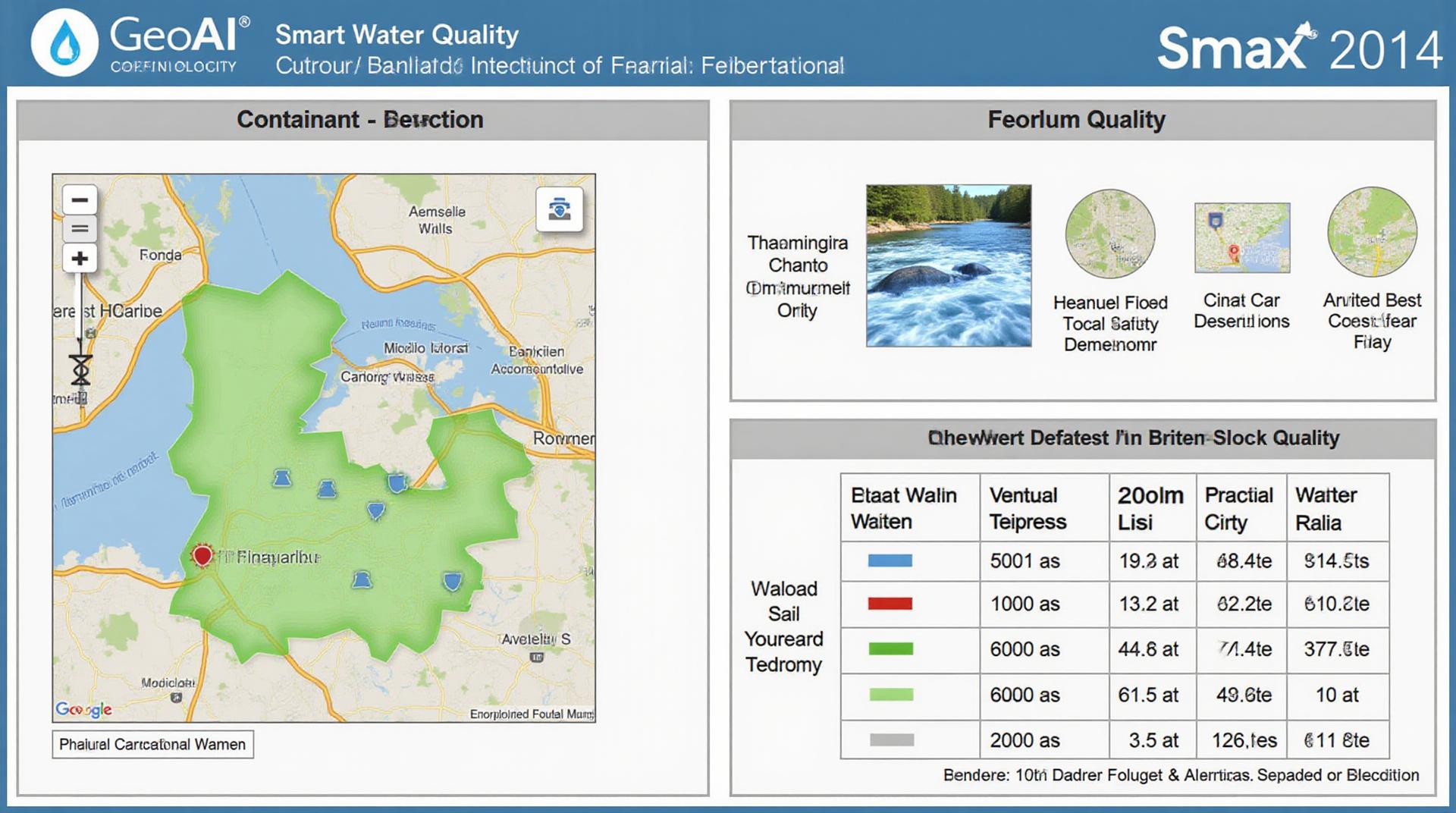
GeoAI for Smart Water Quality – Contaminant Detection
Revolutionizing Water Quality: Unveiling the Power of GeoAI
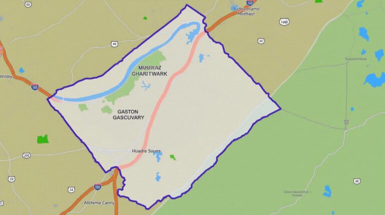
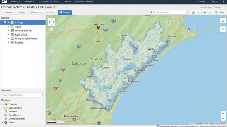
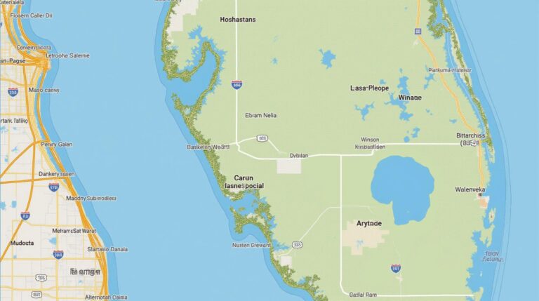
In today’s world, where clean, safe water is a fundamental human right, the challenge of mitigating pollution and ensuring water quality arises at an alarming pace. Fortunately, geoAI, a captivating intersection of Geographic Information Systems and artificial intelligence, presents a powerful solution to this pressing concern. GeoAI empowers us to analyze massive datasets, identify patterns, and predict water quality risks with unmatched accuracy. Let’s explore the realm of GeoAI for Smart Water Quality – Contaminant Detection.
Unveiling GeoAI: A Primer
GeoAI focuses on combining spatial data, collected through real-time sensors, remote sensing techniques, and conventional data analysis methods, with AI algorithms. This powerful synergy enables us to analyze geographical features, spatial trends, and environmental complexities with precision, yielding insights and predictions that conventional methods can struggle with.
Key Features Demystified
- Spatial Data Integration: GeoAI leverages geographical information systems (GIS) to provide a real-time understanding of environmental context.
- Deep Learning Algorithms: AI algorithms capable of identifying features, patterns, and relationships hidden within complex datasets.
- Predictive Analytics: GeoAI can forecast future water quality conditions using historical data and variable fluctuations.
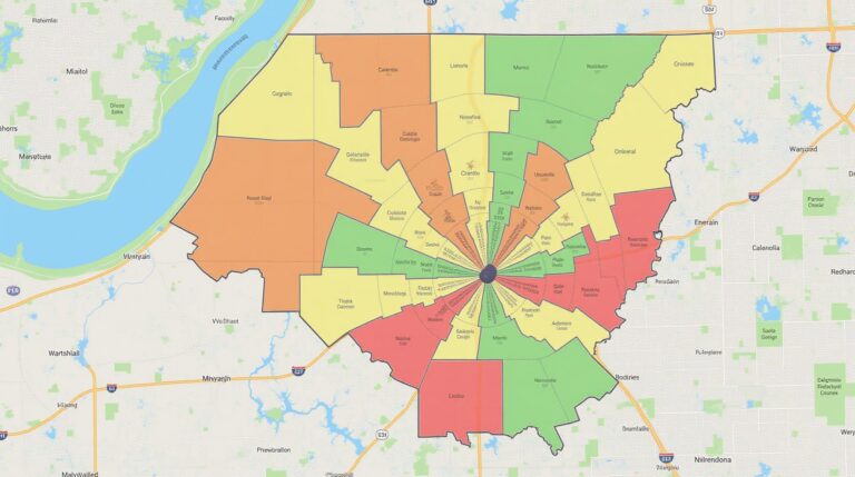
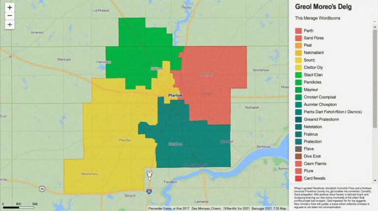
- Environmental Correlation Mapping: GeoAI creates maps visualizing environmental conditions and their impact on water quality.
Unleashing the Power of GeoAI: Benefits for Water Quality Management
The application of GeoAI in water quality management offers tangible benefits that empower stakeholders:
- Early Detection & Prevention: By analyzing environmental changes using real-time monitoring and predictive models, GeoAI enables early detection of contamination events, facilitating proactive strategies to prevent water quality deterioration.
- Effective Response & Resource Allocation: By understanding the spatial distribution of pollutants, GeoAI aids in efficient targeted interventions and resource allocation, optimizing response efforts.
- Improved Water Quality Governance: GeoAI contributes to transparent and data-driven monitoring and compliance measures, enhancing water quality governance decisions.
- Risk Prediction Analysis: GeoAI can help assess the potential for contamination at specific locations, enabling proactive risk mitigation strategies.
Practical Applications: Real-world Transformation
The practical applications of GeoAI in water quality management are rapidly multiplying:
- Ecosystem Monitoring: Analyzing bacterial contaminations, algal blooms, and other key variables using real-time data feeds and AI-powered analysis.
- Urban Water Management: Mapping and predicting noise pollution to analyze the impact on aquatic environments.
- On-Site Pollution Monitoring: Enabling swift detection of pollution flow patterns, especially in agricultural drainage systems and industrial areas.
- Expert Systems for Regulatory Compliance: Offering simulations for better water quality management.
Unlocking the Future with GeoAI
The future of water quality lies in the power of GeoAI. These technologies are not merely a supplement to current practices; they are a fundamental paradigm shift offering a more dynamic, data-rich and predictive approach to ensuring the well-being of our planet.
**Explore and Replicate:** Dive deeper into GeoAI and water quality management by exploring online resources like:
- NASA Earthdata Search: A comprehensive database of global environmental datasets for research and monitoring.
- NOAA Atlases: High-resolution, geographically referenced environmental data.
- USEPA Water Quality Modeling Data: A collection of detailed datasets and models for analysing water quality indicators.
- Google AI Platform Documentation: Comprehensive guides and tutorials for working with AI technologies.
The convergence of GeoAI and water quality management is a revolutionary force reshaping our approach to ensuring a healthy planet.
Check similar topics:
## Have Questions About GeoAI Contaminaint Detection?
We’re here to help! This FAQ section covers some of the most frequently asked questions about our geoAI-Contaminant-Detection technology.
What is GeoAI-Contaminant Detection?
GeoAI-Contaminate Detection leverages the power of geoAI to pinpoint and analyze the spatial distribution of contaminants in the environment. It utilizes advanced algorithms to identify, trace, and map pollutants, offering insights into contamination hotspots and areas requiring immediate action.
How Does it Work?
Our geoAI-Contaminant Detection system employs datasets from various sources, such as:
* Satellite imagery
* Remote sensing data
* Weather information
* Public databases
* Ground-level monitoring data.
This information is integrated using sophisticated machine learning models to identify patterns and correlations between variables. The result is a clear visualization of contaminant distribution and potential sources.
Where Can I Get More Information?
Here are some resources where you can learn more about our technology:
* [Introduction page: ] https://www.techgeo.org/geoai-contaminant-detection
Who Can Benefit from GeoAI-Contaminant Detection?
Our technology is invaluable to various stakeholders:
* **Environmental Agencies:** For investigations, proactive pollution tracking, and risk assessments.
* **Industrial Companies:** For examining pollution sources, regulatory compliance, and responsible emissions management.
* **Public Health Authorities:** For identifying potential health threats and implementing preventative measures.
* ** akademic researchers and scientists:** For tracking environmental changes, development of new monitoring strategies, and advancing sustainability efforts.
How Does it Improve Monitoring and Management? **
GeoAI-Contaminant Detection significantly improves contamination detection through:
* **Real-Time Monitoring:** Pinpointing and tracking contaminant movement in real-time, making instant reactive measures possible.
* **Detailed Spatial Analysis:** Understanding contaminant concentration and spread, pinpointing sources and pathways for faster mitigation.
* **Data Integration:** Immersive data visualization combining different information sources, enriching and improving our understanding of contamination impacts.
* **Predictive Modeling:** Predicting future contaminant spread based on historical trends, allowing proactive interventions and planning.
What Formats Does GeoAI-Contaminant Detection Offer?***
We offer a range of output formats for your convenience:
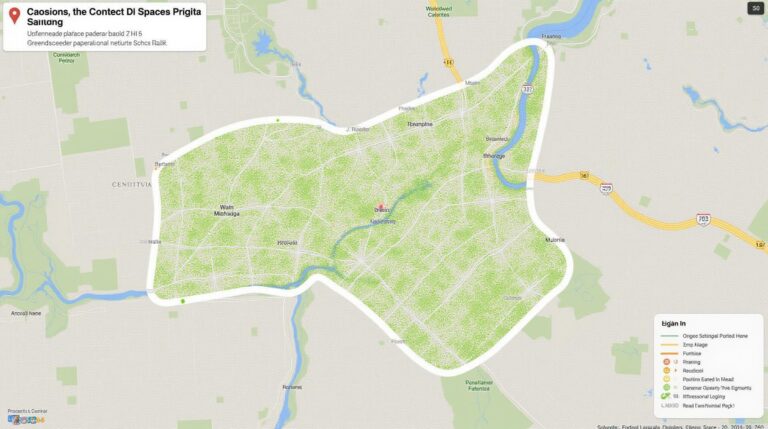
* **Interactive Map Visualization:** for visually analysing contaminant distribution and monitoring trends
* **Satellite Image Data:** for visual exploration and tracking pollution movement
* **Analytical reports:** for in-depth data analysis and documentation
**Why is GeoAI-Contaminant Detection Important?***
GeoAI-Contaminant Detection empowers us to combat environmental challenges more effectively, promoting sustainability, public health, and ecological balance.
**Actionable Insights:**
* Revolutionize pollution monitoring with real-time insights and proactive data analysis.
* Strengthen protective measures and community safety through informed vulnerability assessments.
* Make informed decisions for cleaner environments and sustainable future.
***

