GeoAI for Smart Transportation – Public Transit Optimization
# GeoAI for Smart Transportation: Public Transit Optimization
Unveiling the Power of GeoAI for Public Transit Optimization
Across the globe, the demand for reliable, cost-efficient, and sustainable public transport continues to surge. Emerging technologies, including Artificial Intelligence (AI) and Geographic Information Systems (GIS), hold immense potential to revolutionize public transit operations. GeoAI, the intersection of geography and artificial intelligence, sits at the forefront of this revolution.
What is GeoAI?
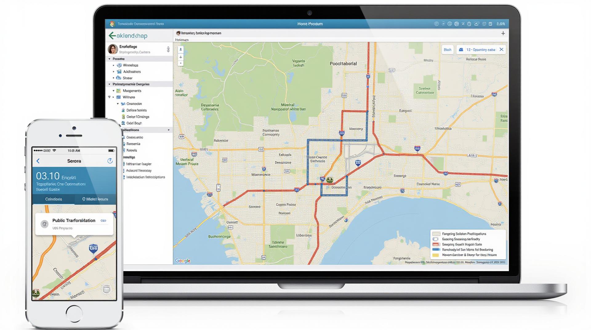
GeoAI encompasses the use of AI algorithms to analyze and interpret geographic data. It encompasses a wide range of applications, such as mapping, routing, fleet optimization, real-time monitoring, and route planning, unlocking valuable insights to boost public transit performance.
Key Features of GeoAI for Public Transit Optimization
- Real-time Data Fusion: GeoAI seamlessly integrates real-time operating data from various sources, including GPS, passenger count sensors, and weather data, facilitating a holistic picture of transit dynamics.
- Route Optimization: GeoAI analyzes travel demand patterns, traffic conditions, and vehicle location to generate optimal routes, enhancing efficiency and minimizing travel time.
- Predictive Analytics: GeoAI predicts future passenger demand, maintenance needs, and potential delays, empowering efficient resource allocation and pro-active service adjustments.
Benefits of GeoAI for Public Transit
Implementing GeoAI within public transit organizations delivers a spectrum of benefits, ensuring a smoother, more seamless traveling experience for passengers and a more efficient operation for agencies.
- Enhanced Passenger Satisfaction: Improvements in journey times, greater accessibility, reduced overcrowding, and provision of accurate information translate to increased passenger satisfaction.
- Optimized Resource Allocation: By utilizing predictive analytics, GeoAI enables agencies to strategically allocate resources such as buses, drivers, and maintenance teams for peak times, minimizing operational overheads and maximizing service continuity.
- Increased Revenue: By optimizing routes, minimizing delays, and reducing empty miles, GeoAI leads to improved resource utilization and an optimized revenue generation.
- Improved Environmental Sustainability: GeoAI streamlines public transport operations, reducing fuel consumption, and promoting efficient travel behaviour, subsequently contributing to a greener environment.
Practical Applications of GeoAI in Public Transit
The applications of GeoAI are far-reaching, covering a broad spectrum of public transport operations.
- Route planning and real-time scheduling: Enable efficient bus and train routes, automatically adjusting to changing traffic conditions and passenger volume.
- Passenger demand forecasting: Prevent overcrowded stations and unreliable travel by predicting passenger flows and anticipating adjustments.
- Automated route optimization: Traffic congestion and passenger volume alerts allow systems to dynamically adjust routes for optimal passenger travel experience.
- Queuing management: Customer wait times and optimizing peak-hour transport flow.
Resources for Learning More About GeoAI in Public Transport
Numerous resources and platforms can further your understanding of GeoAI and its empowering capabilities:
Call to Action: The Next Generation of Public Transport
The integration of Geospatial AI promises a brighter future for public transit. By embracing GeoAI, cities and public transit agencies can create a more reliable, efficient, and sustainable public transportation system, benefiting passengers and fostering a more eco-conscious society.
Check similar topics:
Frequently Asked Questions (FAQs)
- What is geoai-public-transit?
Geoai is a revolutionary technology that uses artificial intelligence (AI) to analyze and predict real-time performance and accessibility data of public transportation. Our tool integrates AI models with data feeds to provide accurate and timely solutions for navigation, planning, and optimization of public transit systems.We offer real-time information, visualisations, and insights, empowering passengers, transit agencies, and policymakers to make informed decisions.
- How can I access the Geoai-Public Transit platform?
Geoai-Public-Transit is currently available for advanced users through our site https://www.techgeo.org/geoai-public-transit-platform. Submission for further development is available as well. - What information do I receive with geoai-public-transit platform?
The platform offers a wide range of valuable data including:- Live timetables and schedules.
- Real-time train/bus arrival data.
- Predictive updates on delays.
- Optimal routes for passengers.
- Accessibility information (for stations, stops, and vehicles).
- What formats are available for the information?
Our platform presents info in multiple formats, convenient for diverse users. You can choose from:- Web interface (directly in your browser).
- Integration with third-party transit apps.
- Data export options for custom analyses.
Significance of geoai-public-transit
Using geoai-public-transit has far-reaching benefits:
* **Improved passenger experience:** Passengers can get real-time information and plan their commute efficiently, leading to reduced frustration and timely arrival.
* **Operational efficiency for transit agencies:** The platform helps manage resources, optimize routes, and minimize delays leading to improved service delivery and cost reduction.
* **Data-driven decision making:** Geoai-public-transit offers insights and predictive analytics for policymakers, allowing for informed decisions regarding infrastructure improvements, funding allocation, and policy development.
Email: info@techgeo.org

