AI in Geospatial Data Aggregation – Summarization
AI in Geospatial Data Aggregation: Summarization
In the age of burgeoning big data, extracting meaningful insights from sprawling geospatial datasets has become a critical challenge. Enter artificial intelligence (AI), transforming the way we analyze and summarize large amounts of geographically linked information.
What is Geospatial Data Aggregation Summarization?
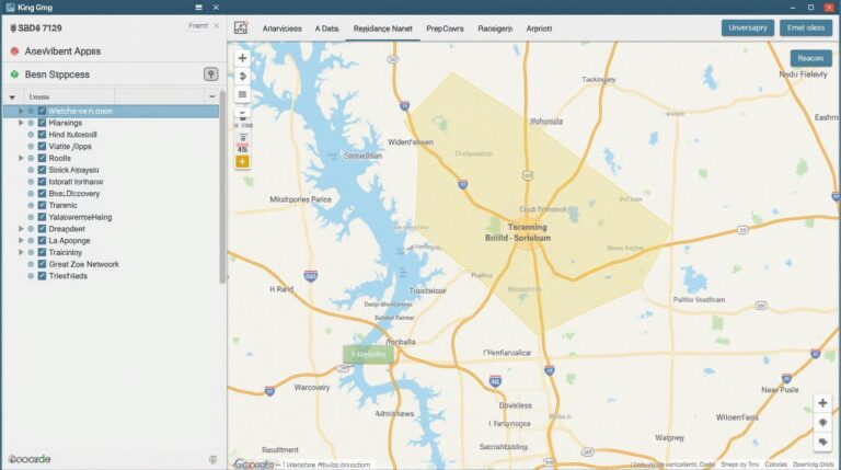
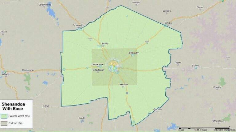
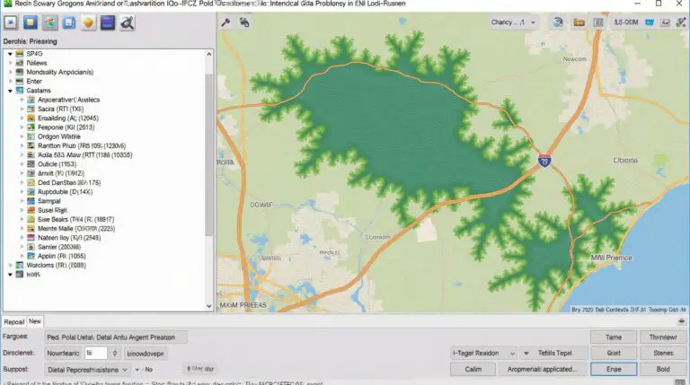
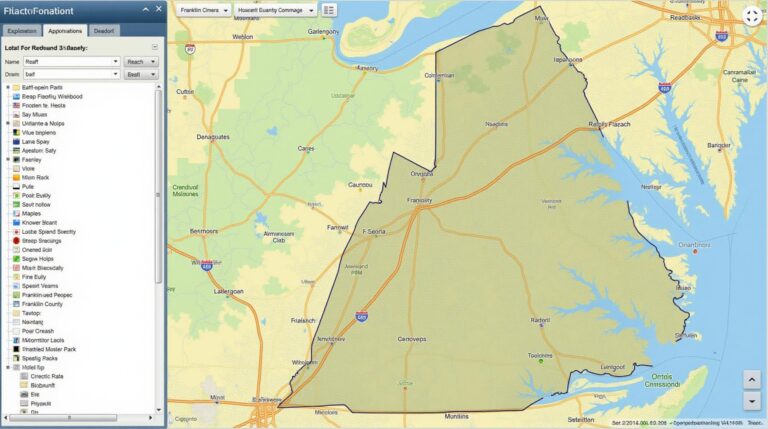
Geospatial data aggregation summarization involves automatically consolidating numerous geographic datasets into a condensed and readily analyzable format. Think of it as distilling the essence and patterns within diverse geospatial information into easily digestible summaries, allowing users to quickly understand large-scale implications.
Key Features and Benefits
- **Automation:** AI excels at automatically analyzing vast and complex sets of geospatial data. It eliminates the need for manual processes, saving time and efforts for researchers.
- **Contextualization & Pattern Recognition:** AI algorithms can analyze spatial relationships and discover hidden patterns in data, revealing connections and trends that might otherwise go unnoticed.
- **Data Integration:** AI can seamlessly harmonize data from various sources, integrate field observations with remote sensing imagery, and integrate social and economic data to offer a comprehensive picture.
- **Enhanced Accuracy and Dose of Reality:** AI reduces human biases by identifying potential correlations not considered by humans, refining results for greater accuracy and providing a more realistic depiction of geographical phenomena.
- **Scalability:** AI can comfortably handle the complexities of large-scale geospatial datasets.
Practical Applications
The applications of AI in geospatial data aggregation and summarization are expansive and invaluable. Here are some examples:
- **Urban Planning & City Management:**AI determines optimal locations for infrastructure projects, builds flood maps for disaster preparedness, and monitors traffic patterns for efficient resource allocation.
- **Environmental Monitoring:** Identify deforestation hotspots, track pollution levels, analyze biodiversity trends, and optimize resource allocation in conservation efforts.
- **Business Location Analysis:** Identify prime market locations, optimize delivery routes, and analyze consumer data in a geographically-efficient manner.
- **Agriculture & Food Security:** Analyze soil nutrient density, predict crop yields, and identify potential areas for food production.
Resources for Learning More
Begin exploring the exciting world of AI in Geospatial Data Aggregation and summarize geospatial knowledge by following these links:
- https://www.sklearn.com/library/datasets/geospatial-data/ Provide a collection of widely used geospatial datasets for training and testing your AI model
- https://towardsdatascience.com/the-power-of-remote-sensing-in-geospatial-analysis-using-ai-67ad87c6c973 Remote sensing techniques and their application in AI powered ground data analysis
- https://towardsdatascience.com/ai-and-geospatial-data-analysis-baf568856e9b An overview on various AI algorithms and techniques used in Geographic Data Analysis
As geospatial data continues to increase in volume and complexity, AI is poised to be a transformative technology for understanding and manipulating raw geographic information.
Looking Ahead:
The possibilities of incorporating AI for geospatial data analysis are vast. Stay tuned for a deep dive into the development and evolution of AI and its pivotal role in shaping the future of our understanding of the world around us.
Check similar topics:
GeoAI Data Summarization FAQs
GeoAI Data Summarization
What is GeoAI Data Summarization?
GeoAI Data Summarization utilizes artificial intelligence (AI) and geospatial analytics to efficiently condense complex information from large datasets, enabling users to extract key insights and trends.
Availability
GeoAI data summarization is integrated into our website and platform, www.techgeo.org. For most functions, you can achieve the results normally inferred from clicks on the website’s data visualization library.
Data Formats
GeoAI data summarization applies to a wide range of geospatial data formats, including:
- GeoJSON
- NDJSON
- Shapefiles
- WMS/WFS (Web Map Services and Feature Service)
- CSV (Comma-separated values)
Usage Examples
GeoAI data summarization can be applied to various tasks, such as providing meaningful analysis regarding the following:
- Urban planning and development
- Environmental monitoring and assessment.
- Agriculture and resource management
- Disaster mitigation and response
Contact Us
For further assistance, please don’t hesitate to reach out!
Let me know if you have any other specific elements you want to add to the FAQs or any further refinements.

