GeoAI for Smart Agriculture – Crop Health Monitoring
GeoAI for Smart Agriculture: Optimizing Crop Health Monitoring
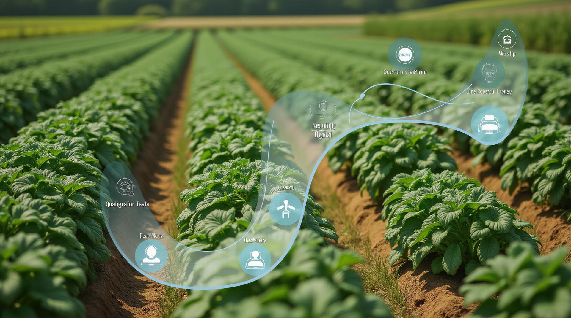
In today’s interconnected world of agriculture, ensuring the health and productivity of crops is paramount. Traditional methods often lag behind, relying on intuition and site-based inspections. This is where GeoAI, leveraging the power of artificial intelligence and geospatial technologies, steps in to revolutionize crop health monitoring.
Understanding GeoAI’s Role in Smart Agriculture
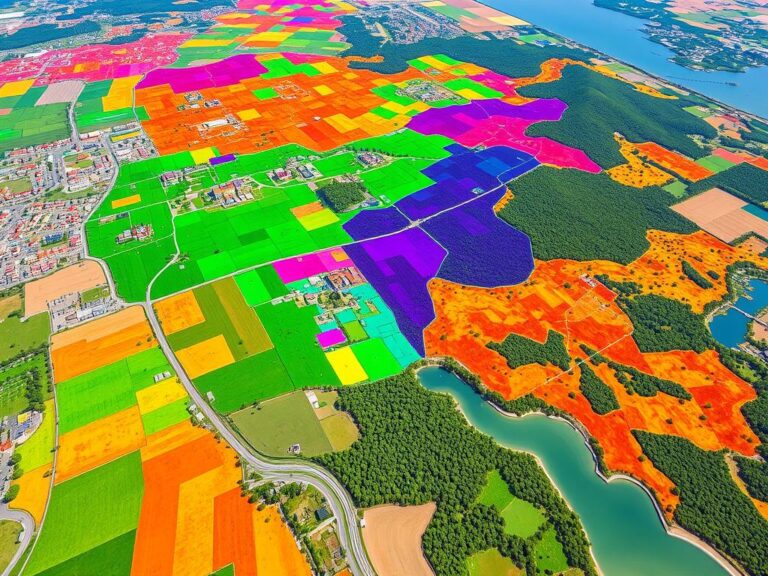
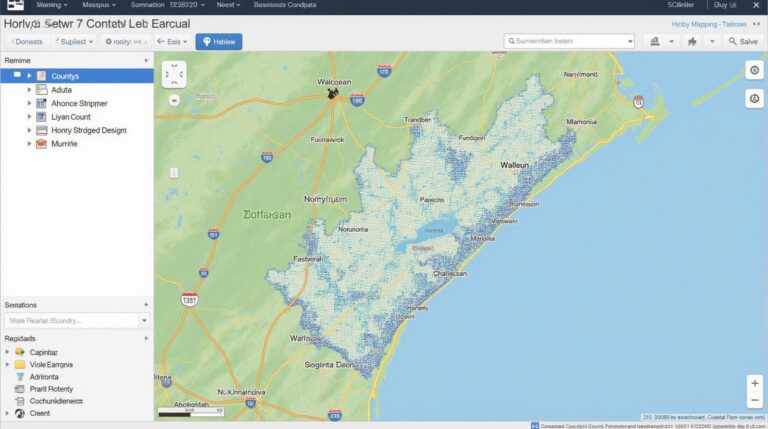
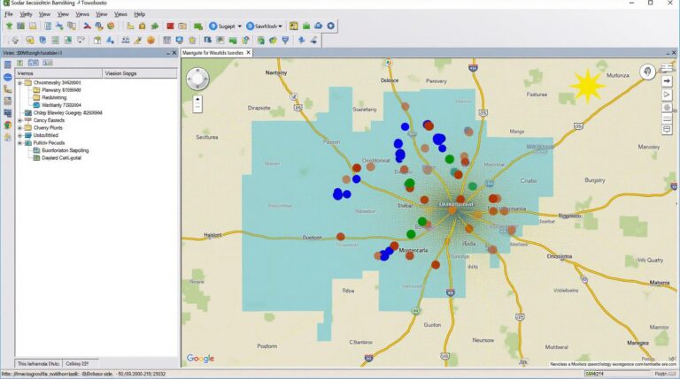
GeoAI empowers agricultural decision-making by using satellite imagery, drone data, sensor readings, and weather patterns to provide insights into individual crops, field variability, and overall agricultural ecosystems. It enables farmers and researchers to effectively:
* **Monitor Plant Health:** Analyze diverse images of crops through computer vision and machine learning to detect early signs of stress such as disease presence, nutritional deficiencies, or pest infestations.
* **Optimized Resource Allocation:** Streamline resource distribution, from fertilizers and pesticides to irrigation and harvesting, based on precise data, optimizing yield and minimizing waste.
* **Predictive Analysis:** Use historical and real-time data for accurate predictions on crop yield and potential risks, allowing for timely interventions and maximizing resource utilization.
Key Benefits of GeoAI for Crop Health Monitoring
* **Increased Efficiency and Productivity:** By optimizing resource allocation and minimizing resource loss, GeoAI demonstrably boosts crop yield and farm profitability.
* **Reduced Environmental Impact:** Targeted analyses and recommendations based on detailed crop analysis help minimize the use of unnecessary fertilizers and pesticides, mitigating environmental damage.
* **Better Risk Management:** Proactive monitoring allows for timely identification of distress symptoms, mitigating potential crop losses and enabling efficient disaster recovery.
* **Data-Driven Insights and Decision Making:** Gaining access to real-time and historical crop data allows informed decision-making, planning, and optimizing future agricultural practices.
Applications of GeoAI in Crop Health Monitoring
GeoAI tools are finding widespread application in various aspects of smart agriculture:
* **Precision Spraying:** Using geospatial information and AI-powered image analysis, farmers can target specific areas with pesticides or fertilizers, effectively addressing pest and disease issues.
* **Disease and Pest Identification:** Equipped with image recognition capabilities, GeoAI tools can accurately identify specific diseases and pest infestations on crops, enabling targeted control measures.
* **Soil Management and Nutrient Optimization:** GeoAI analyzes soil data through satellite imagery and sensors combined with weather information to recommend optimal fertilizer application rates for each crop.
* **Early Warning System Development:** Emerging technologies based on GeoAI help build forecasting systems, predicting potential crop loss due to weather fluctuations, diseases, or pests, preparing farmers for potential challenges.
### Gaining Advantage with GeoAI Resources
The world of GeoAI is quickly evolving, offering exciting opportunities for farmers to improve their operations and enhance resource management.
Here are some of the resources available to dive deeper into GeoAI:
* **Google Earth Engine:** Accessing massive global satellite imagery data.
* **NASA Earthdata System:** Dataset of environmental and geological data including remote sensing images.
* **OpenGeoAI:** A vast collection of machine learning models and tools for crop management applications.
* **Various Online Resources & Blogs:** Stay updated on the advancements and practical applications of GeoAI by following reputable agricultural websites and blogs.
By harnessing the power of GeoAI and leveraging the growing body of available resources, agricultural professionals can unlock unparalleled insights, improve efficiency, and sustainably nourish our world with prosperous harvests.
Check similar topics:
GeoAI-CropHealth FAQs
What is GeoAI-CropHealth?
GeoAI-CropHealth offers a comprehensive suite of tools and services for analyzing agricultural data using GeoAI technology. It helps farmers and agricultural organizations monitor crop health, optimize resource allocation, and improve yield estimations by analyzing satellite imagery and other geospatial data.
Where can I get GeoAI-CropHealth?
GeoAI-CropHealth is available on our platform: [https://www.techgeo.org/geoai-crophealth](https://www.techgeo.org/geoai-crophealth)
What formats does GeoAI-CropHealth support?
GeoAI-CropHealth offers various data formats, including:
* Binary GeoTIFF
* NetCDF
* Numerically Analyzece with other formats
How can I use GeoAI-CropHealth?
Our platform provides detailed tutorials and user guides to ease the process of integrating GeoAI-CropHealth. You can also utilize our comprehensive documentation to familiarize yourself with our services: [https://www.techgeo.org/tutorials](https://www.techgeo.org/tutorials)
What are the benefits of using GeoAI-CropHealth?
Using GeoAI-CropHealth provides numerous benefits:
* Improved Precision Farming
* Enhanced Crop Monitoring
* Incorporation of AI into Health Assessment
* Optimized Resource Allocation
* Increased Yield Estimation Accuracy
How important is GeoAI-CropHealth?
GeoAI-CropHealth is foundational to sustainable agriculture in the 21st century. It promotes efficient resource utilization, optimizes crop health, and enables informed decision-making. With its advanced analytics and predictive models, we empower agricultural professionals to cultivate a sustainable and bountiful future.
Actionable Insights
- Explore the tutorials and user guides available on our website to learn how to leverage GeoAI-CropHealth’s full potential. Learn More

