AI in Geospatial Data Normalization – Standardization
AI in Geospatial Data Normalization: Standardization
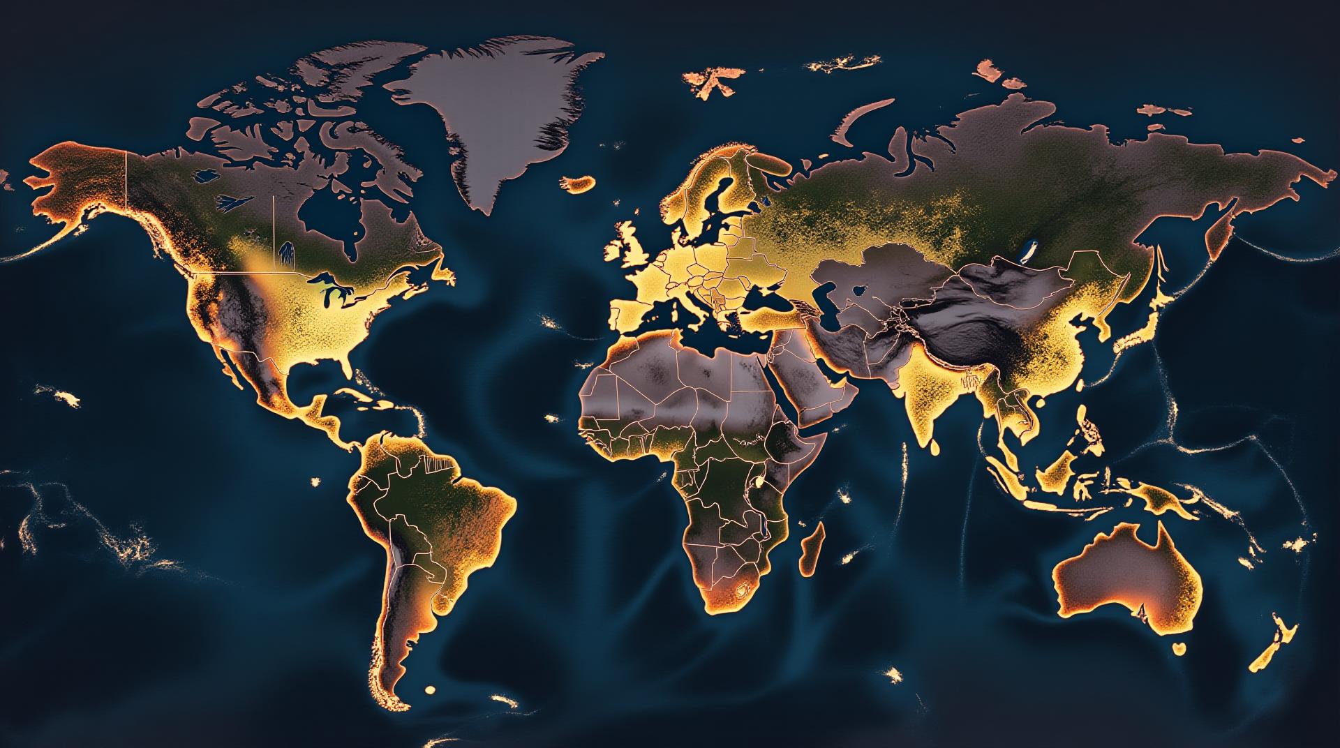
Geospatial data, encompassing geographic information about locations and events, is indispensable for modern applications like city planning, environmental monitoring, and disaster management. However, inconsistencies and discrepancies in geospatial data challenge analysis and interpretation. This is where AI-powered normalization comes in.
What is Geospatial Data Normalization?
Geospatial data normalization is the process of transforming data from various representations to standardized formats that are consistent and comparable. It helps to align different datasets, leading to improved accuracy, reliability, and the ability to perform meaningful comparisons.
Why is AI Useful for Standardization?
While traditional methods like rule-based normalization may tackle certain inconsistencies, AI excels due to its ability to learn complex patterns in vast geospatial datasets.
**Enhanced Accuracy:** AI leverages machine learning algorithms to identify subtle patterns in data, automatically correcting discrepancies and anomalies. This is crucial for avoiding biases and misinterpretations in geospatial analysis.
**Faster and Scalable Processing:** AI helps process data more quickly and effectively, making it suitable for handling large volumes of geospatial information encountered in urban planning and satellite imagery analysis.
Key Features of AI in Normalization
Here’s a breakdown of key features:
- Transformations: Detailed range-based and data type conversions to create a unified data model.
- Data Interpolation and Smoothing: AI algorithms project and refine details to reconcile spatial variations in data.
- Error Correction and Detection: AI identifies invalid and misinterpreted data inputs, strategically addressing errors.
Benefits of AI-driven Geospatial Normalization
The benefits extend beyond just improved accuracy. Using AI for normalization brings several positive results:
**Enhanced Data Integration:** It enables seamless integration of diverse sources, such as aerial photography, GPS sensors, and online crowdsourced maps.
**Common Data Platform Development:** Normalization acts as a fundamental base for creating shared geospatial data platforms, fostering collaborations across different teams and industries.
**Reduced Data Redundancy: **Accurate and standardized data reduces redundancy, enabling more efficient data sharing and management.
Practical Applications
AI’s power in geospatial data normalization finds practical applications in a wide range of fields:
**Disaster Response:** AI aids in damage assessment, resource allocation, and prevention strategies for earthquakes, floods, and hurricanes.
Example: After a volcanic eruption, AI could prioritize emergency response based on real-time census data of affected populations.
**Regenerative Agriculture:** AI can identify optimal areas for planting crops, factoring in growth rates, soil health, and weather patterns, and its use helps promote sustainable farming practices.
Example : AI can recommend planting schedules for specific crops based on predicted weather patterns across each location in the field.
**Urban Planning:** AI can analyze traffic patterns, land use, population density, and environmental factors for optimized urban designs, leading to more efficient city layouts.
Resources for Further Exploration- Research Papers: Browse academic journal articles like the “Journal of Computer-Assisted Geoinformatics” for cutting-edge research on AI and Geospatial Data Normalization.
- Industry Conferences: Conferences like “IEEE International Symposium on Data Driven Intelligence” are excellent to learn about practical applications and connect with experts.
Get Started with AI Geospatial Normalization
Embracing AI in data normalization paves the way for smarter, more insightful analysis and greater data efficiency. For beginners, resources such as online courses and tutorials can supplement the knowledge needed to begin incorporating AI within your projects.
Check similar topics:
GeoAI Data Normalization FAQ
This FAQ addresses common questions and helps you understand what geoAI data normalization is and how it can benefit your projects.
What is GeoAI Data Normalization?
GeoAI data normalization is the process of correcting, cleaning, and transforming geographic data, making it more reliable and consistent for analysis and modeling. Similar to how normalizing a photo improves its clarity and tones, data normalization ensures consistency and enhances the accuracy of geoAI models.
Is GeoAI Data Normalization readily available?
Many tools and pipelines offering geoAI Data Normalization for data collection and preprocessing are available using various approaches like:
- Geopy for detailed spatial data representations
- GeoPy OSGeo for leveraging existing tools like QGIS or GRASS
Establishing specific data pipelines using these capabilities can be customized to meet your needs.
What Formats Does GeoAI Data Normalization Support?
GeoAI data normalization is compatible with a variety of popular formats, including:
- .CSV
- .geojson
- .ShapeFile
- .GeoPackage
How Can GeoAI Data Normalization Improve My Projects?
By normalizing your geoAI data, you can improve:
- Data Accuracy and Consistency:** Make sure your data makes sense geographically
- Spatial Representation:** Convert spatial data formats and ensure geographic projections are consistent with project needs
- Model Performance:** Help your machine learning models with high-quality and consistent data
- Accuracy and Reliability:** Supplement software for geoAI data infrastructure and exploration
Want to Learn More about GeoAI?
Visit our TechGeo Resources to of upcoming webinars and tutoring.
Summary
GeoAI data normalization is crucial for ensuring the quality and effectiveness of geoAI projects. Whether you’re using machine learning, spatial analysis, or building innovative tools, consistent and accurate geoAI data will lead to better results.
Harness the power of geoAI and optimize your data for advanced analysis!
[To learn more about GeoAI Data Normalization, visit our TechGeo Resources]

