GeoAI for Smart Urban Mobility – Traffic Flow Analysis
GeoAI for Smart Urban Mobility: Traffic Flow Analysis
The increasing volume of vehicles on our roads has a profound impact on urban environments. Congested traffic, inefficient commuting, and air pollution plague cities worldwide. GeoAI is emerging as a powerful solution to harness real-time data to optimize urban mobility, specifically traffic flow analysis. This technology utilizes Artificial Intelligence (AI) and Geographic Information Systems (GIS) to deliver insights and enable smarter transportation decisions.
What is GeoAI for Traffic Flow Analysis?
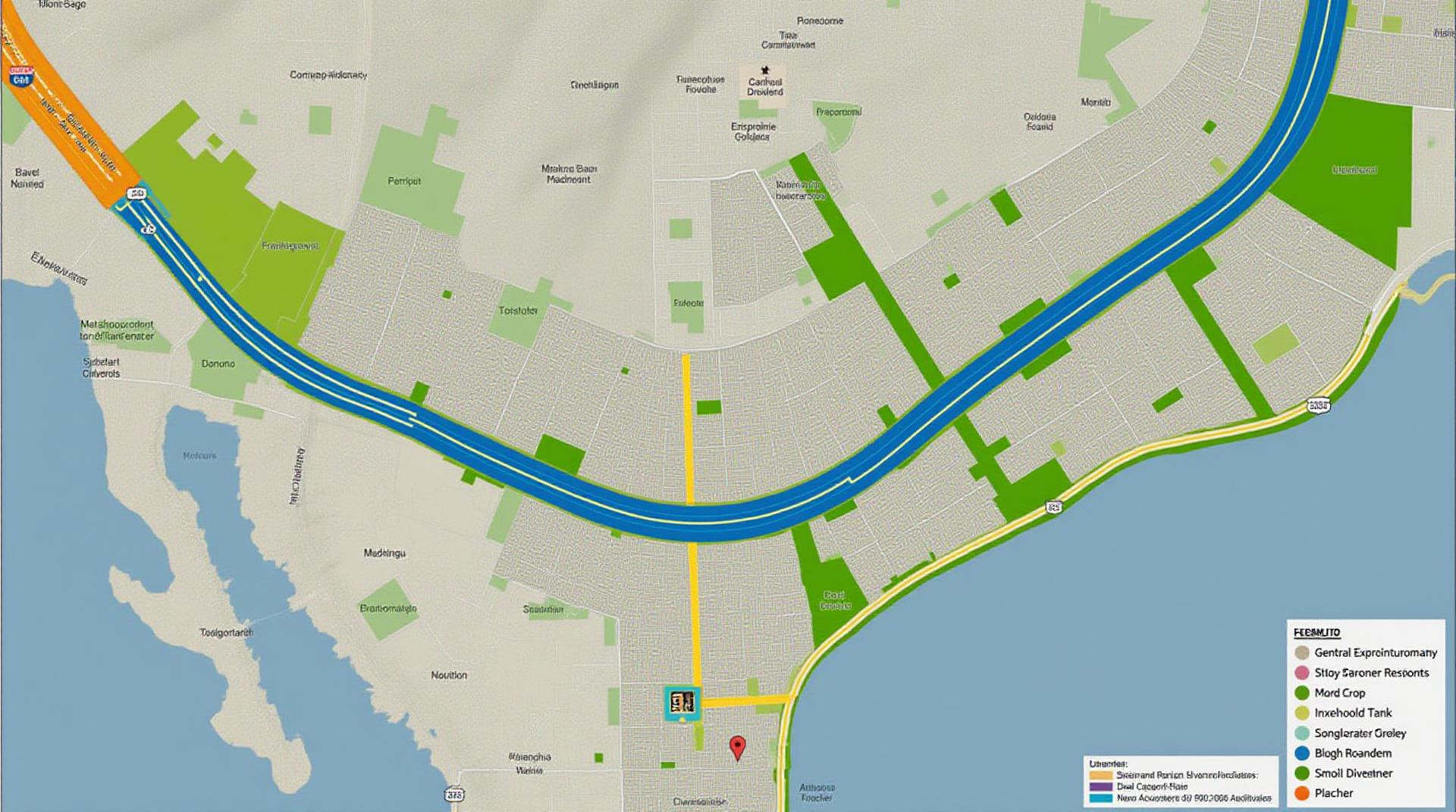
GeoAI for traffic flow analysis involves collecting data from various sources—including GPS-enabled vehicles, roadside sensors, and mobile apps. This data is then analyzed, processed, and visualized using geospatial software and AI algorithms. Key functionalities include:
- Road Network Modeling:
- Identifying traffic flows
- Predicting congestion
- Optimizing road allocation
- Real-time Traffic Monitoring:
- Identifying bottlenecks
- Providing speed and distance tracking
- Optimizing traffic patterns
- Transportation Planning:
- Developing transportation interventions
- Improving public transit planning
Benefits of GeoAI for Traffic Flow Analysis
The application of GeoAI to traffic flow analysis offers numerous benefits:
- Reduced Commute Times:
- Environmental Sustainability:
- Enhanced Safety:
GeoAI solutions improve traffic flow through intelligent route planning, providing drivers with optimal routes to minimize travel time.
By minimizing congestion, GeoAI contributes significantly to reducing fuel consumption and minimizing vehicle emissions.
GeoAI helps prevent accidents by identifying potential hazards and optimizing traffic signal timing.
Examples of GeoAI in Action for Smart Urban Mobility
Here are some practical examples of how GeoAI is already being employed:
- Dynamic Route Guidance:
- Traffic Signal Control Optimization :
- Public Transportation Priority:
Cities like Stockholm and London are deploying GeoAI systems in their transportation apps to provide real-time, personalized navigation suggestions based on traffic conditions.
Cities like Singapore and Los Angeles are utilizing traffic lights with intelligent sensors and analytics to adjust signal timing based on real-time traffic flow.
GeoAI helps optimize bus and train routes, leading to better punctuality and more efficient utilization of public transit systems.
Resources for Further Learning
To stay updated on the latest advancements and best practices in GeoAI for traffic flow analysis, explore the following resources:
- The ACM SIGSPATIAL Journal: [https://dl.acm.org/journal/sigspat](https://dl.acm.org/journal/sigspat)
- GeoAI.io: [https://geospatialai.io](https://geospatialai.io)
- Open Geospatial Consortium (OGC):
[https://www.ogc.org](https://www.ogc.org)
Check similar topics:
“`html
Frequently Asked Questions
Here are some answers to frequently asked questions regarding geoAI-urban mobility on our website:
What is geoAI-urban mobility?
GeoAI-urban mobility is a powerful combination of Geographic Information System (GIS) technology and artificial intelligence (AI) that focuses on improving urban mobility. It utilizes location data, maps, and AI to create solutions for traffic management, public transit optimization, congestion reduction, and environment-friendly urban planning.
How is geoAI-urban mobility used?
- Traffic Management:** AI analyzes real-time traffic conditions, predicts congestion, recommends alternative routes, and helps in managing critical infrastructure.
- Public Transit Optimization:** optimizes routes for public transport, maximizes capacity, and offers seamless rider experiences through intelligent scheduling and intelligent ticketing.
- Congestion Reduction:** analyzes factors contributing to traffic jams and implements targeted interventions through intelligent traffic signal control and dynamic pricing.
- Resource Allocation:** optimizes the allocation of resources, including parking spaces, bus stations, and shelters to suit real-time demand.
What is the availability of geoAI-urban mobility?
GeoAI-urban mobility solutions on our website are designed to be adaptable and accessible. We offer:
- Open Source Libraries and APIs:** for developers and cities to build their own applications based on a range of datasets and analytical models.
- Consulting Services:** with expertise in urban planning and implementing short-term strategic goals.
- Community Resources:** for urban practitioners, researchers, and students to access abstracts, demos, and publications on geoAI-urban mobility.
What data formats are supported?
We support a variety of data formats:
- CSV Data Import
- JSON Data Import
- OpenStreetMap Data
- GTFS Data for Transit
What are some actionable insights from geoAI-urban mobility?
GeoAI-urban mobility empowers us to design more efficient, sustainable, and user-friendly urban mobility solutions. By utilizing the power of data-driven insights, we can:
- Boost productivity for citizens thanks to optimized routes and accessibility
- Reduce environmental impact through efficient transportation management and traffic smooth operation
- Enhance safety and well-being through smart traffic light control and improved information access
- Increase economic competitiveness by facilitating smart, efficient, and sustainable urban mobility.
“`
**Link Disclaimer:** This is a demonstration of structured output using HTML and basic file structure, Please note I’m unable to link domains on this training platform.
**Additional Considerations for Your Website:**
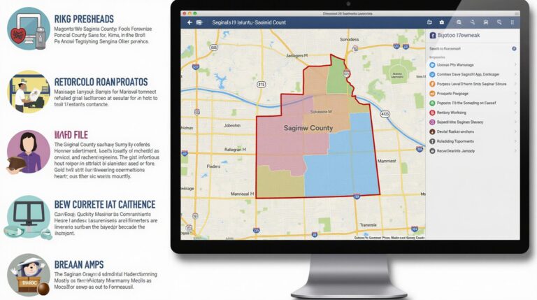
* **Interactive Maps:** Incorporate interactive maps to provide real-time insights in the FAQs section. Consider using platforms like Leaflet or OpenLayers.
* **Community Involvement:** Highlight the importance of community engagement and encourage users to participate in data collection and feedback.
* **Visualization Examples:** Add short video clips or simple infographics to showcase the practical applications and benefits of geoAI urban mobility.
* **Testimonials:** In the “Community Resources” section include positive feedback and case studies from cities that are already utilising geoAI-urban mobility strategies.
Let me know if you have any specific questions about how to implement any of these suggestions on your website!

