AI for Geospatial Data Compression – Efficient Storage
AI for Geospatial Data Compression: Efficient Storage
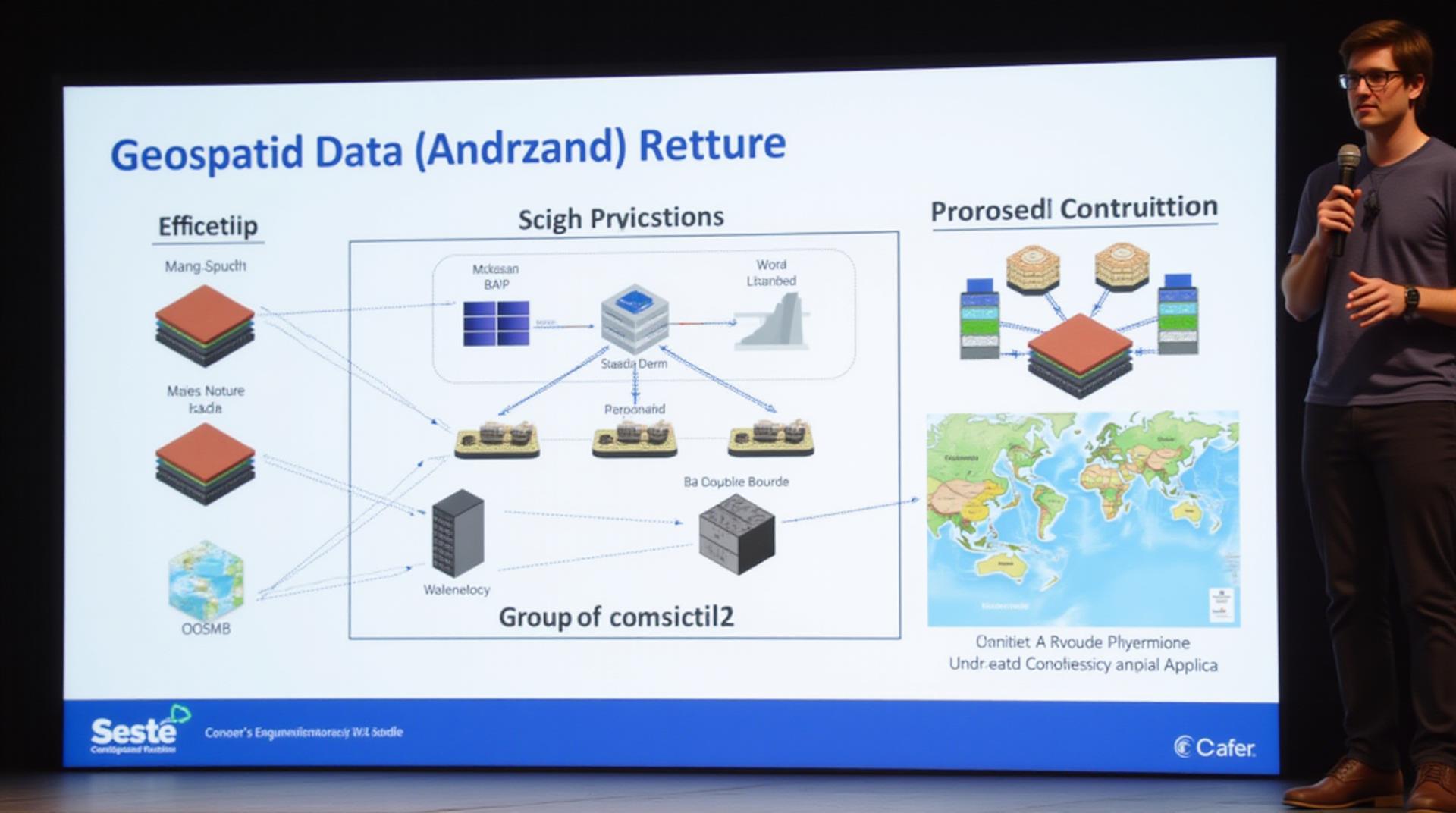
The global demand for geospatial data is growing exponentially, driving a need to optimize storage and analysis capabilities. Traditional methods like raster format often struggle with large datasets, particularly in a world increasingly dominated by high-resolution remote sensing imagery, detailed maps, and dynamic GIS models. This is where Artificial Intelligence (AI) shines, offering innovative solutions to extract immense value from vast geospatial collections.
What is geospatial data compression?
Geospatial data compression involves techniques that reduce the size of geospatial data while minimizing visual, thematic, or procedural loss. Through advanced algorithms, AI effectively distills the content within geospatial semantic, logic, and structural features.
How does AI enhance geospatial data compression?
AI incorporates several compelling techniques for effective geospatial data compression:
- Unsupervised Learning: Algorithms like K-means clustering learn inherent patterns in geospatial data points, enabling them to identify areas of similar characteristics within large datasets.
- Supervised Learning: Utilizing vast labeled datasets, deep learning can automatically recognize object classes, land cover types, and other features within the location data, allowing for more nuanced data compression.
- Reinforcement Learning (RL): Machine learning models can be trained to optimize compression algorithms based on real-time performance metrics. RL is actively blossoming in its effectiveness against evolving and targeted datasets.
Benefits of AI-powered compression
Implementing AI-driven data compression offers numerous advantages over traditional methods:
- Reduced Storage Costs: Efficiently compressing millions or countless data points translates to significant cost savings, especially in long-term storage solutions.
- Enhanced Spatial Analysis: Lower storage requirements facilitate faster data processing and reduced latency, accelerating the analysis of complex geospatial decisions.
- Improved Data Accessibility: Storage versatility and faster data retrieval result in improved project collaboration and data sharing, ultimately fostering smarter and more successful projects.
- Challenges with Data Overload: AI offers comprehensive scalability and data rendering capabilities, furthered by its resilience to emerging datasets and anomaly identification.
Real-world Applications of AI-powered Data Compression
The effectiveness of AI-powered compression reverberates across diverse geospatial domains. Here are a few examples:
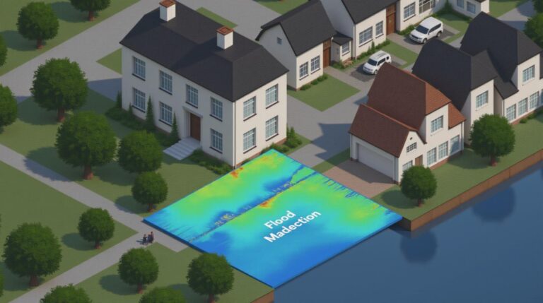
- Disaster Management: AI helps analyze satellite imagery, identify best distribution points for relief supplies, enabling efficient resource allocation for rapid response.
- Environmental Monitoring: Machine learning models track endangered species positions, estimate habitat size, and assess potential environmental threats, providing invaluable insights for conservation.
- Urban Planning and Infrastructure Development: AI assists in creating optimal traffic flow, optimizing public transport routes, and predicting land use patterns.
- Transportation and Logistics: AI analyzes factors like shipping routes, road performance, and traffic patterns to optimize fleet routes and improve delivery times for goods.
Resources and Further Learning
Staying current on this rapidly evolving field requires staying connected to vital resources:
- Papers & Publications: Search specific conferences like IEEE/ICNIRP International Conference on Space Technology and Applications, IEEE/ACM International Conference on Data Engineering or the conference proceedings of the ACM Symposium on Geographic Data to discover the latest advancements.
- Open Source Platforms: Numerous open-source projects like GeoAI, OpenEra, and NOAA’s Geo-Explorer allow you to gain practical experience with advanced geospatial AI and data manipulation methods.
- Online Courses: platforms like Coursera, EdX, and DataCamp curate a variety of courses, from introductory IMAC contexts to in-depth understanding of advanced data processing methods and machine vision.
As the geospatial field continues its ascent toward an AI-driven future, leveraging the remarkable capabilities of this technology opens up entirely new possibilities for unlocking the true potential of your geospatial data.
Check similar topics:
GeoAI Data Compression FAQs
GeoAI Data Compression
What is GeoAI Data Compression?
GeoAI data compression is a cutting-edge technique that streamlines the storage and transmission of geographically-aware data. It utilizes artificial intelligence to analyze and optimize the structure of geographic data to minimize its size, while preserving critical information.
Where is GeoAI Data Compression Available?
- Our platform integrates seamlessly with your existing GIS and remote sensing tools.
- Customizable API and SDK options for wider integration possibilities.
What Data Formats are Supported?
We support a wide range of spatial data formats, including but not limited to:
- GeoJSON
- Shapefiles
- KML
- LAS
How Does GeoAI Data Compression Work?
- Through intricate learning algorithms, we analyze the data’s inherent patterns and correlations.
- We then leverage compression technologies specifically designed for geographical data to reduce the required storage space.
- The process maintains the original data’s integrity, ensuring accurate representation of the geographic information.
“`
**Additional Notes:**
* **Include Images/Illustrations:** Visuals will enhance the user experience. For example, include a visual representation of GeoAI data compression efficiency analysis.
* **CTA Call to action:** Include a prominent Call to Action button that leads users to your website’s introduction page.
* **Strong Copywriting:** Use concise, engaging language that seamlessly integrates with your website’s overall style and tone of voice.
**Remember!:** You’ll want to tailor this to better showcase your specific style and offerings. Customize the content to highlight unique features and benefits, and ensure it fits the overall tone and structure of your website.
Let me know if you need further assistance with specific layout or styling requirements.


