AI for Geospatial Data Segmentation – Image Processing
AI Powering Geospatial Data Segmentation: A Revolution in Image Processing
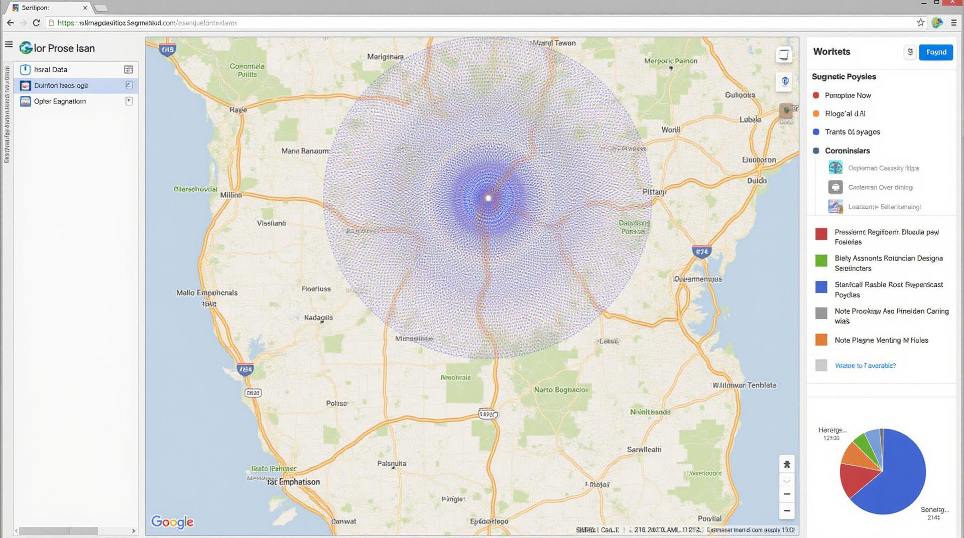
The world of geographic information—from satellite images of Earth to city maps and blueprints—is brimming with vast datasets that can offer insights into our environment, economy, and society. But analyzing these data sets, particularly for extracting meaningful information, presents significant challenges. Enter **AI for geospatial data segmentation**, a potent tool revolutionizing how we process and understand these pixel-rich landscapes.
What Is Geospatial Data Segmentation?
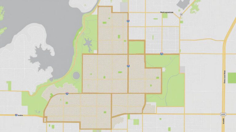
Geospatial data segmentation is essentially the process of dividing geographic data into distinct, homogenous regions or segments. These segments, distinct by their features, help us discern patterns, trends, and differences across our planet’s diverse environments. Traditionally, manual segmentation of such data was laborious and prone to human error. Now, AI is providing automated and precise methods, unlocking unprecedented opportunities for data exploration and interpretation.
Think about analyzing satellite images of a forest with varying landscapes: from dense canopy, to open vegetation, to bare soil. Traditional methods might struggle to accurately delineate the boundaries between these different forest types. AI-powered image processing algorithms can, however, automatically identify these features, infer their attributes, and even classify the entire forest into dynamic segments.
Digging Deeper: Key Features of AI Segmentation
- Smart image analysis: AI has the capability to analyze complex image data using pattern recognition, allowing identification of features and boundaries that previous methods often missed.
- Automated segmentation: By eliminating manual labor, AI frees up geospatial data analysts to focus on extracting insights and making informed decisions.
- Data-driven accuracy: AI algorithms are constantly refining their segmentation processes, results are increasingly precise and accurate.
- Faster processing speeds: AI algorithms often process images and segments significantly faster than traditional methods, enabling real-time analysis and faster decision-making.
What Are the Benefits of AI for Geospatial Data Segmentation?
The use of AI in geospatial image processing offers a powerful arsenal of benefits:
- Enhanced precision: AI segmentation outperforms manual and traditional methods, leading to much more accurate and detailed analysis.
- Faster analysis: AI frees up analysts from tedious manual segmentation, improving efficiency and accelerating decision-making.
- Improved accuracy in diverse scenarios: AI can effectively segment data in various terrains, ranging from dense urban landscapes to expansive forests, achieving better results than human operators.
- Improved data insights: AI enables extraction of valuable data, fostering a deeper understanding across diverse applications like forestry, urban planning, and hazard monitoring.
Real-World Applications of AI Segmentation
The power of AI for geospatial data segmentation is witnessing rapid application in various industries:
- GIS-based urban planning: AI helps in identifying optimal land development while considering environmental factors and traffic patterns.
- Disaster Relief Operations: AI segments images, enabling efficient mapping and planning of resources in disaster zones.
- Environmental Conservation: AI helps monitor deforestation, track wildlife populations, and identify potential pollution hotspots.
- Agricultural Resource Management: AI facilitates precision agriculture through segmentation of crop fields and optimized resource allocation.
- Space Exploration: AI helps in analyzing images from satellites, identifying potential landing sites, or mapping extraterrestrial environments.
The future of geospatial data analysis is inextricably linked to the potential of AI. This technology is paving the way for smart and data-driven decision-making, unlocking insights and benefiting various sectors across the globe.
Get Started with AI for Geospatial Data Segmentation
There are numerous platforms and resources available for individuals and organizations to delve into AI for geospatial data segmentation:
## GeoAI Data Segmentation FAQs
Welcome to the world of geoAI! This FAQ section addresses some common questions about geoAI-data-segmentation.
What is GeoAI Data Segmentation?
GeoAI data segmentation, which utilizes advanced AI, is revolutionizing how we analyze and understand geographically arranged data. Essentially, it’s about automatically dividing spatial data into meaningful segments – communities, buildings, roads, landmarks, etc. – that offer deeper insights.
Availability
GeoAI Data Segmentation is available as a standalone service! You can access it through our platform at
www.techgeo.org/services/geoai-data-segmentation and seamlessly integrate it into your existing workflows.
Available Formats
We support a variety of formats to ensure compatibility with your data sources.
These include:
- GeoJSON
- CSV
- KML
- Bing Maps Service Aerial Imagery
How Does it Work?
GeoAI data segmentation works by leveraging various AI models and algorithms. These models are trained on massive datasets related to geographical information, enabling them to:
- Identify patterns and boundaries in your geographical data.
- Group similar regions into meaningful segments.
- Analyze those segmented areas for specific insights.
Applications and Potential
The versatility of geoAI data segmentation has numerous potential applications:
- **Urban Planning and Management**: Segmenting data to flourish efficient urban development.
- **Environmental Monitoring**: Tracking changes in geographic patterns for a better understanding of the environment.
- **Geographic Analytics**: Analyzing data for location-based marketing analytics.
- **Disaster Response**: Enabling quick and focused disaster response decision-making.
Key takeaway:** GeoAI data segmentation provides valuable insights that empower strategic decision-making associated with location-based data analysis.
Build your geoAI Data Segmentation journey with us!
We’re committed to helping you unlock the potential of geoAI. Explore the details on our website: