GeoAI for Smart Disaster Response – Emergency Mapping
GeoAI for Smart Disaster Response: Emergency Mapping
In the face of increasing natural disasters worldwide, the need for real-time and accurate information has become paramount. Enter GeoAI, a powerful tool revolutionizing disaster response through advanced mapping and analytics. By harnessing the power of artificial intelligence, GeoAI aims to equip responders with detailed insights to effectively manage emergencies and save lives.
What is GeoAI and How does it Work?
Global AI (GeoAI) is a subfield of AI focused on spatial data, utilizing algorithms that analyze geographical information. This data, including satellite imagery, GPS data, and other geographic data sources, serves as the foundation for intelligent disaster response. Using complex modeling techniques, GeoAI analyzes real-time data to create:
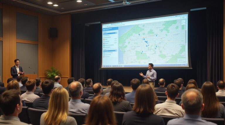
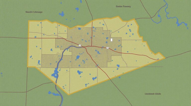
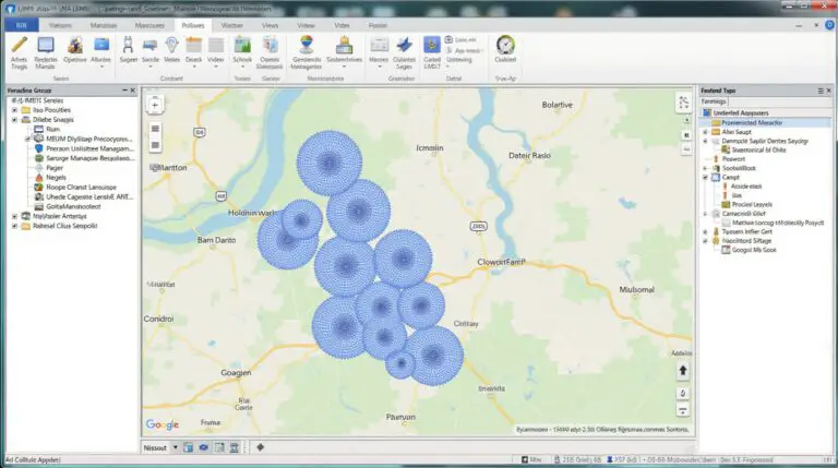
- Interactive maps**: These visualizations allow responders to rapidly monitor disaster zones, observe changes in real-time, and predict future impacts.
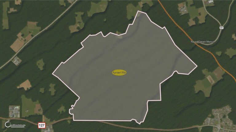
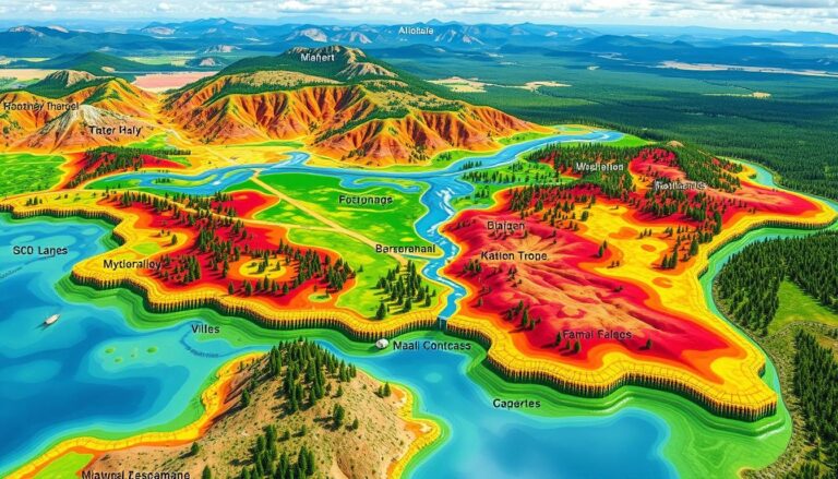
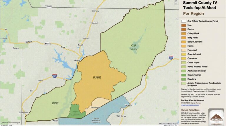
- Risk mapping**: GeoAI models identify vulnerable populations and areas susceptible to specific disasters, enabling proactive interventions.
- Probabilistic simulations**: Advanced models use historical data and real-time information to forecast potential disaster scenarios, allowing for more effective preparation.
- Damage assessment**: The technology analyzes imagery and other collected inputs to assess damage levels, allocating resources effectively.
Benefits of GeoAI for Disaster Response
GeoAI promises significant benefits over traditional methods of disaster response:
- Faster response**: Real-time detection and rapid analysis enable responders to act swiftly and address situations before they escalate.
- Proactive action**: GeoAI enables the identification of risk zones and vulnerable populations, promoting preemptive preparation and mitigation.
- Resource optimization**: Detailed damage assessments help pinpoint critical areas requiring urgent help, optimizing resource allocation.
- Reduced fatalities**: Early access to accurate information and precise risk assessments minimizes casualties and accelerates rescue efforts.
Practical Applications of GeoAI
GeoAI’s power is evident across various disaster scenarios. Here are a few applications:
- Wildfires**: GeoAI watches wildfire spread with high precision by analyzing fire damage, allowing fire crews to deploy resources more effectively.
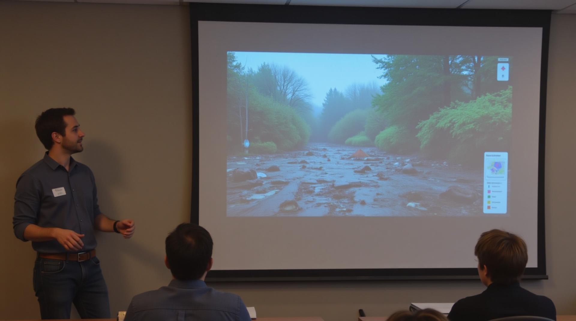
- Floods**: By mapping the path of flooding, GeoAI helps coordinate rescue efforts, evacuate residents, and effectively manage inundation areas.
- 津波**: GeoAI analyzes real-time data from tide gauges to monitor tsunami movement and generate accurate risk maps.
- Earthquakes**: With spatial data on building collapse potential, GeoAI helps prioritize search and rescue efforts after an earthquake.
Resources and Learning
Interested in delving deeper? There are valuable learning resources available:
- United Nations Office for Disaster Risk Reduction (UNDRR): https://www.undrr.org/ – Offers information related to initial risk assessment and post-disaster recovery.
- Google Earth Engine: https://www.earthengine.google.com/ – Enables high resolution data analysis for various disaster scenarios.
- Cloud Computing Platforms (AWS, Azure, GCP): Many platforms offer tools and resources specifically designed for disaster management.
The Future of GeoAI
With continuous advancements in AI technology, the future of GeoAI promises to become even more impactful:
advancements in artificial intelligence, big data analytics, and the Internet of Things (IoT) are revolutionizing disaster response management. Coupled with these innovations, we may expect to see: the proficiency of GeoAI algorithms surpass their ability to predict natural disasters, and a nimble, intelligent GeoAI technology that provides personalized risk assessments and actionable insights for individual communities.
Check similar topics:
Frequently Asked Questions about GeoAI-Disaster Response
Have questions about geoAI-Disaster Response? This section aims to answer some frequently asked questions. For a deeper look, visit our documentation at https://www.techgeo.org/docs
What is GeoAI-Disaster Response?
GeoAI-Disaster Response empowers responders with cutting-edge technology to assess, predict, and protect communities during crises. Our platform integrates geospatial insights, artificial intelligence, and cloud computing to deliver timely and actionable intelligence.
What are the types of Resources Available?
We offer several resources for different disaster response needs:
- Data Products: Access reliable data and imagery on disaster-affected areas, including satellite images, real-time aerial surveys, and historical data. https://www.techgeo.org/data
- AI Model:** Utilize our powerful AI models to automate tasks like damage assessment, resource allocation, and evacuation route planning.
- Shared Platform: Join our network and collaborate with professionals from all over the world to share resources, visualize available data, and improve disaster preparedness.
What formats are Data Files available in?
Upon request, our data products are offered in diverse formats for flexibility:
- Raster files (.tif/.jpg): Suitable for general visualization and analysis.
- Vector files (.shp/.geojson): Ideal for fine-tuned spatial analysis and mapping solutions.
What is the Availability of GeoAI-Disaster Response Resources?
GeoAI-Disaster Response is currently available for emergency managers and humanitarian organizations globally. https://techgeo.org/contact Get in contact with us to explore how this platform can assist your organization.
Can I test GeoAI-Disaster Response for my Non-Profit?
Yes, we offer custom deployments of GeoAI-Disaster Response to non-profits ensuring seamless integration into your existing IT infrastructure. https://techgeo.org/services
Why is GeoAI-Disaster Response Essential?
The rapid rise of disasters necessitates timely actions and critical data. GeoAI-Disaster Response empowers responders to:
- Accurately assess damage and estimate loss levels.
- Optimize resource allocation, like transportation and personnel.
- Develop and analyze evacuation routes for safe relocation.
- Detect potential risk factors and hazardous zones.
- Improve coordination among stakeholders.
GeoAI-Disaster Response is becoming an essential tool for effective and efficient emergency response, sharting this resource with the world is key to global recovery.
—
Please note:
This response creates a general structure using HTML, but you will ultimately likely need to adapt this further based on the specific content of your platform. You’ll also need to update the “www.techgeo.org” URL for your site.

