AI in Geospatial Data Clustering – Grouping Analysis
AI in Geospatial Data Clustering: Grouping Analysis
The modern world relies heavily on the ability to extract meaning and insights from vast amounts of geospatial data. This data encompasses everything from satellite imagery and sensor readings to property records and social media feeds, offering a unique perspective on our world. But sifting through this data to uncover valuable trends and patterns can be a daunting task. This is where AI, specifically clustering analysis, shines.
What is Geospatial Clustering?
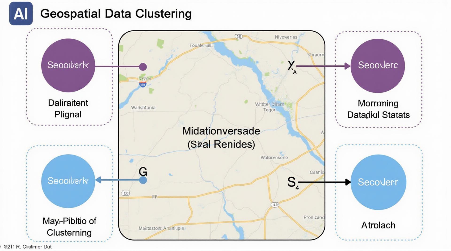
Geospatial clustering is the automated process of grouping a set of geospatial data points based on their characteristics, like proximity to each other or shared attributes. This technique helps us understand spatial relationships, identify patterns, and create meaningful insights from the often large and complex datasets.
Think of it like organizing a room full of books by subject or topic. You might cluster similar books together (e.g., historical fiction, thrillers), highlighting relevances between co-located books. Instead of novels, we cluster points like cities, regions, and even individual buildings to understand urban growth patterns, environmental impacts, or traffic flow.
How Does AI Enhance Geospatial Data Clustering?
AI, with its ability to learn and model complex data distributions, offers a powerful toolkit to enhance geospatial data clustering. Common AI approaches include:
- Machine Learning: Machine Learning algorithms train themselves on existing geospatial datasets, allowing them to predict or identify clusters according to patterns learned from data. Popular algorithms include K-means Clustering, Gaussian Mixture Models, and Hierarchical Clustering.
- Deep Learning: Deep Learning models, particularly convolutional neural networks (CNNs), excel in extracting spatial features and patterns from images and remote sensing data. This can lead to more refined and accurate clustering results.
- Natural Language Processing (NLP): NLP techniques can identify meaningful patterns within geospatial textual data, such as social media mentions or news articles, potentially leading to insights about urban development or public sentiment towards specific events happening in specific locations.
Key features of AI-powered Geospatial Clustering
- **Increased Accuracy:** AI can handle high volumes of data and identify subtle clustering patterns humans might miss, leading to more precise and accurate results.
- **Enhanced Efficiency:** AI-powered algorithms can automate the clustering process, saving time and effort, which is especially valuable when dealing with large datasets and complex geographic information.
- **Untapped Insights:** AI’s ability to identify novel and unseen relationships enables researchers and analysts to identify new patterns, potentially leading to previously unknown trends or insights.
Applications of Geospatial Data Clustering
The potential applications of geospatial clustering with AI are far-reaching, impacting various sectors:
- Urban Planning and Development: Identify areas with high demand for infrastructure projects, growth hot spots, or environmental hotspots.
- Disaster Response: Segment disaster areas more efficiently, enabling targeted resource allocation and response.
- Agriculture and Food Security: Optimize irrigation systems, identify areas for sustainable farming practices to understand water resource patterns.
- Detect and monitor deforestation or pollution hotspots with more accuracy.
- Healthcare: Identify areas with a high concentration of hospitals and health facilities for better service delivery.
Environmental Monitoring :
Resources to Learn More
Interested in learning more about Geospatial Data Clustering and AI? You can explore these internet resources:
Check similar topics:
“`html
GeoAI Data Clustering FAQs
What is geoAI data clustering?
GeoAI data clustering takes the raw location data from various sources, like street data, census data, or traffic maps, and uses powerful AI tools to group similar locations together. Think of it like building geographic “clusters” – environments with similar characteristics, like areas with similar businesses or lifestyles.
This helps businesses, governments, and researchers make informed decisions based on valuable geographic context.
Where can I get GeoAI Data Clustering tools?
Currently, this technology is evolving rapidly! Check out our geoAI solutions. At www.techgeo.org, we offer various options for advanced data visualization and analysis, including those for clustering, making it easy to work with your location data.
What types of data can I use for GeoAI Data Clustering?
GeoAI tools can process diverse data, such as:
- GPS coordinates of points and vehicles
- Commercial listings (businesses, restaurants, etc.)
- Social media location check-ins
- Doppler Radar images
- Census geographic data
What formats are supported?
Most GeoAI platforms need data in standard formats like:
- shapefiles (.shp)
- GeoJSON (.geojson)
- KML
- GeoPackage (.gpkg)
What is the difference between GeoAI and traditional clustering?
- Traditional clustering works on customer data, but GeoAI uses location data implications to categorize those areas of interest.
- Traditional algorithms primarily identify clusters based on geographic distance and standard techniques.
- GeoAI distinguishes patterns within datasets and allows users to make strategic decisions for targeted marketing, resource allocation, spatial policy planning, and other applications.
What are the benefits of using GeoAI data clustering?
Using GeoAI data clustering, organizations can unlock valuable insights, leading to tangible benefits such as:
- **Improved business strategy:** Targeted marketing campaigns and optimized site location selections.
- **Enhanced data analysis:** Create actionable insights that combine human imagination with the incredible power of AI.
- **Visualization:** Interactive visualizations and insightful dashboards to visualize clusters, trends, and key geographic events.
- **Resource allocation:** Optimization of power grids, public services, and emergency response systems.
- **Innovation:** Assesses new opportunities in areas tied to geospatial analytics.
Conclusion
GeoAI data clustering is revolutionizing how we use geographic information. By unlocking hidden patterns and insights from location data, organizations can improve decision-making, enhance resource efficiency, and anticipate future trends with unprecedented accuracy.
Visit www.techgeo.org to explore a variety of solutions for data visualization and analysis related to GeoAI.
“`
**Important Notes:**
* This FAQ section is a starting point, encourage users to explore resources offered on www.techgeo.org for more detailed information and use cases about GeoAI and data clustering.
* You can update the links to match your specific website content.
* Remember to adapt the contents and examples of the FAQ to reflect your services.
Let me know if you have any questions, would like any part of the code modified or want to expand on certain sections!

