AI in Geospatial Data Aggregation – Summarization
AI for Geospatial Data Aggregation – Summarization
In the age of big data, geospatial information has become increasingly valuable. Satellites, drones, and ground sensors are constantly capturing vast amounts of geographically referenced data, covering topics ranging from urban planning to climate change monitoring. The sheer volume of information presents a significant challenge for processing, analyzing, and visualizing these geospatial data sets effectively.
What is Geospatial Data Aggregation – Summarization?
Imagine summarizing all the relevant information on a city based on traffic patterns, pollution levels, population density, and weather changes. This is the essence of geospatial data aggregation, and summarization often leverages Artificial Intelligence to achieve it. AI algorithms extract meaningful insights and patterns from raw data, presenting key information in a condensed, digestible form.
AI’s Magic Touch
AI brings intelligence to geospatial data aggregation, allowing us to perform complex tasks like:
- Contextualization: AI analyzes data from multiple sources and connects seemingly unrelated pieces of information, revealing underlying trends and insights.
- Data Classification: AI algorithms can categorize data points based on pre-defined features or learn complex patterns to create new codes and classifications.
- Anomaly Detection: Detecting unusual data patterns, potentially indicating historical trends in the data or environmental changes.
- Prediction: Using historical data, AI can predict future trends around things like traffic patterns or disaster predictions.
Benefits of AI in Geospatial Data Summarization
Integrating AI has led to significant benefits for how we understand and use geospatial data:
- Precision and Accuracy: AI algorithms are superior in recognizing patterns and making predictions compared to traditional methods, leading to more accurate and reliable analysis.
- Efficiency: AI automates tasks like filtering data and identifying relevant information, saving time and resources for analysts.
- New Insights: AI unlocks hidden patterns and correlations in data that may not be apparent to human analysts.
- Enhanced Visualization: AI-powered tools can generate compelling visualizations and insightful maps that effectively communicate knowledge.
Practical Applications
The applications of AI-powered geospatial data summarization are boundless. Here are a few examples:
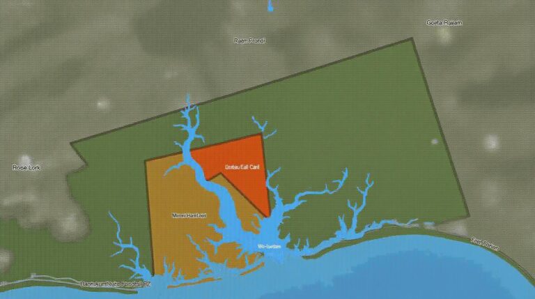
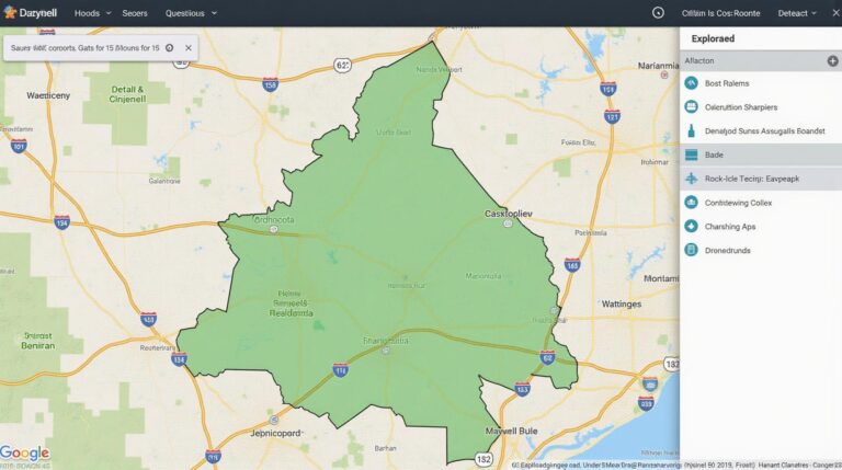
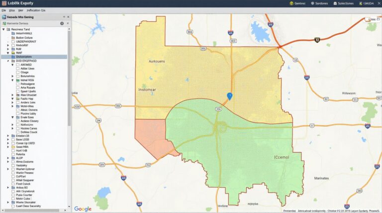
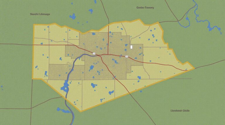
- Urban Planning and Development: Analyze demographic information, traffic flow, and resource potential for optimal urban space planning.
- Climate Change Monitoring: **Estimate drought risk, analyze urban heat island effects, and track the clearing of forests using satellite imagery analysis for climate change mitigation and adaptive management strategies.
- Disaster Response and Emergency Management: **Real-time mapping of disaster zones, evacuation routes planning, and probability modelling for faster disaster response.
- Environmental Monitoring: **Tracking deforestation, air quality changes, and analyses of water contamination for sustainable ecosystems practices.
Resources for Exploring GeoAI with AI
Keen to delve deeper into the world of geospatial AI? Check these resources out:
- Google Earth Engine: A powerful platform for geospatial analysis that integrates with many AI tools. https://earthengine.google.com
- ArcGIS Pro with Python APIs: ** A Comprehensive geospatial software allows you to engage with geospatial data and applications with python scripts for large datasets and customized workflows.
The future of geospatial data aggregation is illuminated by increasingly complex AI algorithms, reliable data analysis, and user-friendly tools. As these innovations progress, we can anticipate a future where accurate, timely, and insightful knowledge derived from geospatial data becomes accessible and possible for a wider audience.
Check similar topics:
Frequently Asked Questions
GeoAI data summarization can be a powerful tool for extracting insights from geographically referenced data. This FAQ section is designed to address common queries regarding its availability, formats, and usage.
Availability
- GeoAI data summarization tools are readily available on our platform
[www.techgeo.org](https://www.techgeo.org) to provide faster insights for your projects.
Data Formats
- We support a wide range of data formats, including:
- GeoJSON
- Shapefiles
- Custom Spatial Databases
Usage
There are specific steps involved in using GeoAI data summarization features. The steps closely follow the flow:
- Upload your geographic data using the designated tool.
- Select a summary type that best addresses your requirement.
- Adjust and fine-tune generated results.
- Export the summarized results ready for analysis and integration.
The Importance of GeoAI Data Summarization
GeoAI Data summarization is transforming geospatial data analysis. The ability to summarize large volumes of geographically-referenced data on demand, empowers users with advanced analytics and insights previously unattainable. This provides many potential benefits:
Key benefits of GeoAI data summarization
- **Speed and Efficiency:** Accelerate data analysis by automatically processing, summarizing, and filtering complex datasets.
- **Increased Insights:** Discover hidden patterns and trends in spatial data, leading to more insightful decision-making.
- **Enhanced Accessibility:** Make complex geospatial data understanding accessible across a wider audience.
By leveraging the power of geoAI, you can improve your work in sectors like environmental monitoring, urban planning, resource management, and many more critically impacted by spatial data.
Table of Contents