GeoAI for Smart Water Management – Drought Prediction
GeoAI for Smart Water Management – Drought Prediction
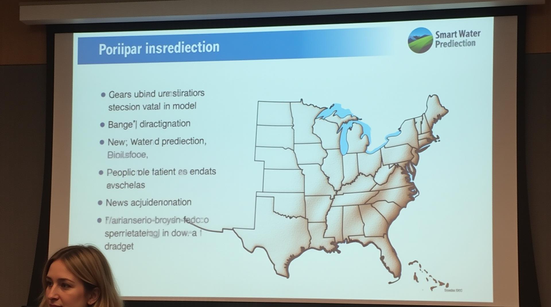
Keeping our water supply secure is essential in an increasingly unpredictable climate. As we face the specter of drought more frequently, advanced technologies like GeoAI are playing a crucial role in predicting and managing water scarcity. Let’s dive deeper into the power of geolocation artificial intelligence in shaping a more sustainable water future.
What is GeoAI?
GeoAI, or Geo-Artificial Intelligence, refers to the use of data derived from geographical sources, such as satellite images, sensor networks, and geographic information systems (GIS), combined with machine learning and deep learning techniques. This powerful combination allows for the analysis and prediction of complex geographical phenomena.
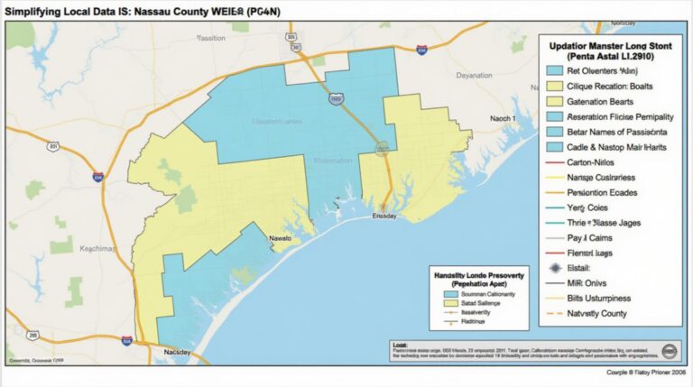
In the context of water resource management, GeoAI enables us to analyze spatial data at scales ranging from individual watersheds to entire global regions. This helps us track real-time changes in rainfall, groundwater levels, irrigation practices, and surface water distribution to effectively forecast and address water shortages.
Key Features of GeoAI for Drought Prediction
- Predictive Modeling based on Big Data:** Archiving vast datasets of rainfall, evapotranspiration, soil moisture, and remote sensing observations from satellites, drones, and other platforms.
- Advanced Machine Learning Algorithms:** Harnessing machine learning algorithms like decision trees, random forests, and artificial neural networks to analyze and interpret complex patterns within the vast datasets.
- Spatial and Temporal Analysis:** GeoAI can simultaneously analyze spatial patterns of drought across a landscape and assess their temporal evolution over time. This facilitates early-stage detection and long-term drought prediction.
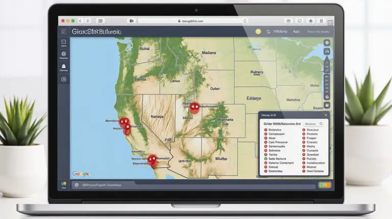
- Remote Sensing Integration:** GeoAI incorporates data from Earth observation satellites and aerial imagery to create detailed maps of vegetation health, terrain variations, and soil conditions, thus providing valuable insights into drought triggers.
- Advanced Machine Learning Algorithms:** Harnessing machine learning algorithms like decision trees, random forests, and artificial neural networks to analyze and interpret complex patterns within the vast datasets.
Benefits of GeoAI-Driven Drought Prediction
Implementing GeoAI in drought management delivers several significant benefits:
- Improved Drought Preparedness:** Effective drought forecasting enables authorities to proactively adapt water allocation, adapt harvesting strategies, and implement drought management policies.
- Optimized Irrigation Management:** By utilizing data from irrigation networks, weather forecasts, and regional climate observations, GeoAI promotes efficient irrigation scheduling.
- Sustained Water Resources:** Improved water allocation and conservation through GeoAI assists in preserving valuable water resources for diverse needs and allows for efficient use of existing water infrastructure.
- Cost Efficiency:** By streamlining water management processes and precision resource allocation, GeoAI contributes to significant cost savings in operational expenses.
Practical Applications of GeoAI
GeoAI is being implemented across diverse water management sectors for various applications:
- Real-Time Drought Monitoring:** Instantly tracking drought indicators across vast geographical areas and relaying immediate alerts to deal with emergent scenarios.
- Remote Sensing Utilization:** Analyzing satellite images to assess land cover changes, track deforestation, and identify potential areas at risk of drought.
- Water Resource Planning and Allocation:** Predicting future water requirements and optimizing water delivery to urban centers and rural communities.
- Water Conservation Policy & Programs:** Developing tailor-made water conservation programs and policies based on accurate drought risk assessments.
Getting Started with GeoAI for Water Management
Enhancing its effectiveness: integrating classical mathematical techniques with GeoAI for a more holistic water management strategy is becoming vital. Investing in platforms, systems, and resources to contribute to creating comprehensive data ecosystems that are accessible to a broader economic and social group.
GeoAI is already revolutionizing water resource management by supporting proactive drought prediction, optimizing water allocation, empowering water conservation efforts, and contributing to a more sustainable and resilient water future. Implementing this technology is becoming increasingly important for ensuring long-term water security for our planet.
Resources for Learning More:
- International Water Management Institute (IWMI): https://iwmi.org/
- USGS EarthExplorer: https://earthExplorer.usgs.gov/
- NASA Earthdata Search: https://search.earthdata.nasa.gov/
- World Resources Institute (WRI): https://www.wri.org/
Check similar topics:
Frequently Asked Questions
Availability
geoai-drought-prediction is available for download at www.techgeo.org/downloads. Select the desired format, including Python scripts and JSON data.
Formats
- Python Script: This format provides the code for analysis the data with its convenient built-in functions.
- JSON Data: This format allows for quick and easy import and analysis of the data in analysis platforms like Python libraries, R, etc.
Usage and Explanation
geoai-drought-prediction leverages geographic data (latitude, longitude, elevation) and user-defined thresholds to predict the potential likelihood of drought development. Easily explore your region’s assessed drought risk by choosing a location and applying the developed tools. Learn how to use geoai-drought-prediction through our comprehensive tutorial documentation.
Importance of GeoAI-Drought-Prediction
GeoAI-drought-prediction plays a vital role in contemporary drought mitigation strategies for the following reasons:
- Early Detection: Provides early warnings of potential drought conditions, allowing for better planning and proactive responses.
- Informed Decision-making: Enables stakeholders across government agencies, agricultural communities, and environmental organizations to make well-informed decisions regarding resource allocation and drought management.
- Data-Driven Approach: Ensures data-driven decision-making based on the rich geographic data analysis and statistical models.
Actionable Insights
This technology can help you:
- Estimate drought risks and inform preparedness for crop yields.
- Optimize crop management for drought-resilient farming.
- Develop effective water management strategies for a sustainable future.
Contact us at www.techgeo.org/contact for any queries.

