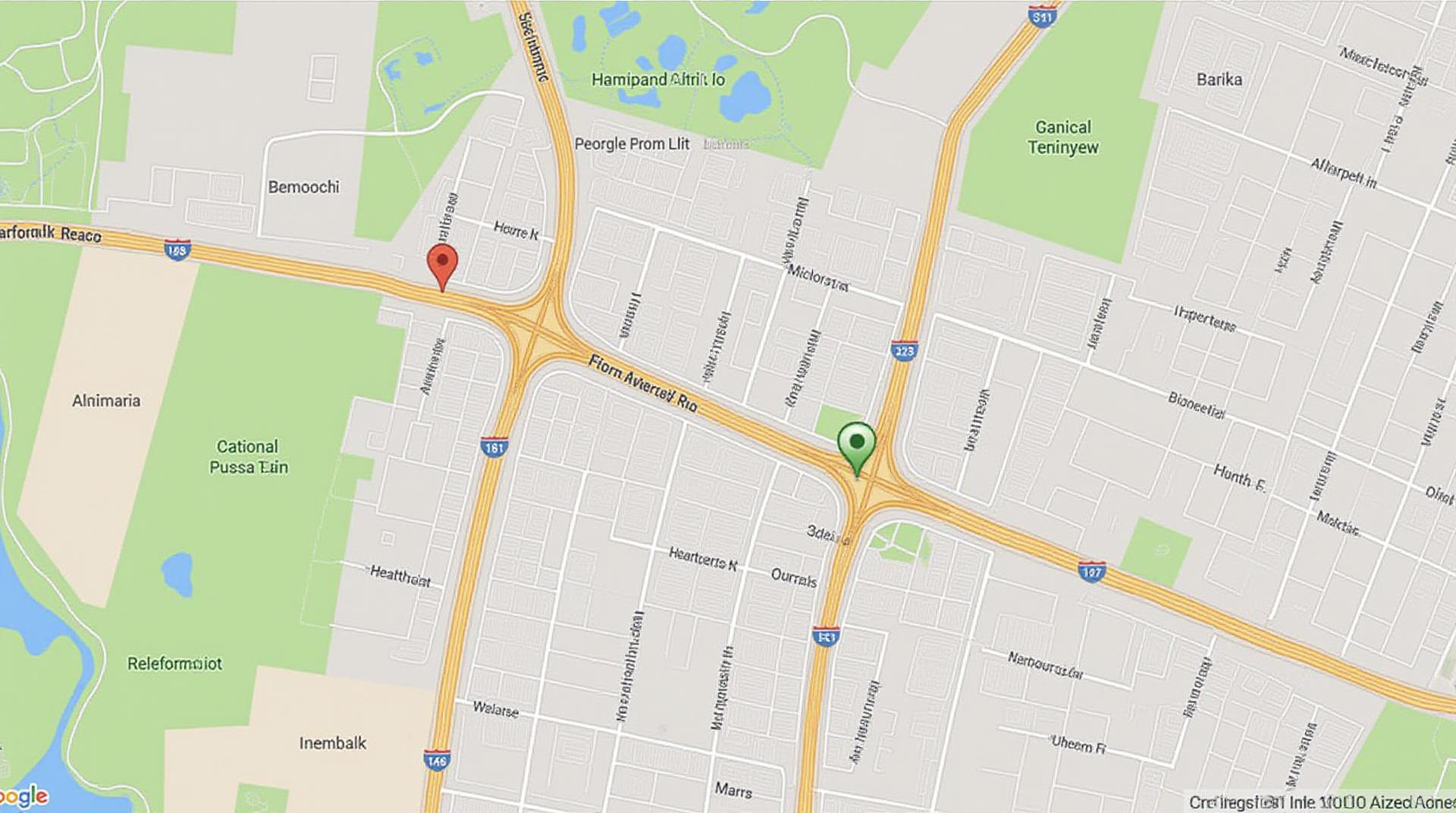
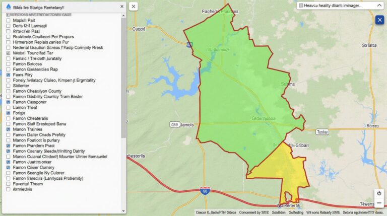
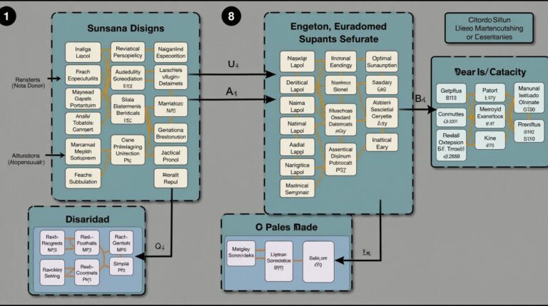
GeoAI for Smart Transportation – Traffic Flow Prediction
GeoAI for Smart Transportation – Traffic Flow Prediction
The future of smart city transportation is on the horizon, and at the forefront of this evolution stands GeoAI— Geographic Artificial Intelligence. GeoAI offers revolutionary insights into traffic flow patterns by leveraging the power of geographic data and machine learning algorithms. This potent combination is shaping the way we navigate our cities, leading to smoother commutes, reduced congestion, and efficient resource allocation.
Let’s delve into the inner workings of GeoAI for traffic flow prediction and discover its immense potential for transforming our urban landscapes.
Key Features of GeoAI for Traffic Prediction
- **Sensor Network Integration:** GeoAI gathers real-time data from a vast array of sensors – from smart traffic lights to GPS-equipped vehicles. This data provides an intricate understanding of vehicle speed, location, and behavior.
- **Machine Learning Algorithms:** Sophisticated algorithms are at the heart of GeoAI’s traffic prediction capabilities. They analyze patterns and trends from sensor data, accounting for factors like weather, road closures, accidents, and events.
- **Prediction Accuracy:** GeoAI goes beyond mere historical data. Using machine learning, it identifies complex relationships that help anticipate future traffic scenarios with a high degree of accuracy.
- **Fast and Efficient:** The advanced algorithms underpinning GeoAI perform real-time traffic prediction tasks, making it an invaluable tool for dynamic traffic management systems.
- **Dynamic Traffic Management:** Traffic flow prediction is the critical pillar of intelligent traffic management systems. GeoAI enables dynamically adjusting signal timings, adapting road closures, and real-time rerouting, to optimize traffic flow.
Benefits of GeoAI for Smart Transportation
- **Reduced Commute Times:** Accurate traffic prediction empowers transportation authorities to manage traffic flow, minimizing commuting times and accelerating journey time.
- **Fewer Congestion Delays:** By predicting traffic bottlenecks, GeoAI can dynamically reroute vehicles, reducing congestion and improving driving efficiency.
- **Optimized Traffic Allocation:** GeoAI strives to optimize the movement of vehicles, reducing overall travel times and promoting a better use of road infrastructure.
- **Enhanced Public Transport Efficiency:** Predicting passenger flows allows for more effective scheduling and operation of public transport, ultimately increasing ridership and improving travel routing for passengers.
- **Increased Safety:** Real-time traffic monitoring and prediction reduces the risk of accidents by minimizing congestion and providing valuable insights for potential hazards.
Practical Applications of GeoAI for Traffic Flow Prediction
The practical applications of GeoAI in smart transportation are numerous:
- **Adaptive Traffic Signal Control:** Implementing intelligent traffic controlling systems that adapt to fluctuating traffic patterns in real-time.
- **Route Optimization and Navigation:** Providing users with personalized journey planning and fueling efficient route instructions based on predicted traffic conditions.
- **Emergency Response Streamlining:** Faster deployment of emergency vehicles by predicting ambulance route congestion and optimizing traffic management during emergency situations.
- **Public Transit Optimization:** Predicting passenger flows and queuing times for public transit, allowing for efficient scheduling of buses and trains.
Resources for Deepening Your Knowledge
Looking to dive deeper into the exciting world of GeoAI for Smart Transportation?
- **Scholarly Research:** Journals such as “IEEE Transactions on Intelligent Transportation Systems” and “Computational Intelligence Research” offer in-depth research findings on GeoAI.
- **Open-Source Libraries:** Explore open-source libraries such as “GPflow” and “LangChain” for practical implementation and experimentation.
- **Data Resources:** Use Okta, Google Maps Places API, HERE Maps API, OpenStreetMap & Waze real-time traffic data resources to collect rich data.
- **Industry Conferences:** Attend relevant conferences like “The Future of Smart Cities” and “IEEE Vehicular Technology Conference” to network and learn about the latest advancements in GeoAI.
GeoAI represents a profound shift in how cities manage their transportation systems.
From its core features to its diverse applications, this technology is reshaping the way we plan, navigate, and use our urban environment. As we witness the evolving power of GeoAI, we can expect to see even more intricate applications, further optimizing our transportation eco-systems.
Check similar topics:
Frequently Asked Questions about GeoAI Traffic Flow
Learn answers to common questions about GeoAI Traffic Flow and how it can benefit your project.
What is GeoAI Traffic Flow?
GeoAI Traffic Flow is a real-time analytical tool that utilizes advanced geographical AI to understand and predict traffic patterns over specified geographical regions.
What Can I Do with GeoAI Traffic Flow?
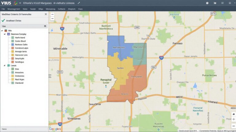
- Gain Real-time Traffic Visualization
- Identify Traffic Bottlenecks
- Optimize Traffic Ahead of Time
- Forecast Traffic Congestion
- Improve Emergency Response
Is GeoAI Traffic Flow Available?
Yes, GeoAI Traffic Flow is available and ready for use on our platform. [Visit our platform‘ >
What Data Formats Does GeoAI Traffic Flow Use?
- Geocoded Location Data
- Traffic Camera Feeds
- Grid Maps
- Remote Sensing Data
- Traffic Incident Data
Who Should Use GeoAI Traffic Flow?
Traffic Planners, Road Operators, Municipalities, Transportation Studies, and other traffic-related professionals can benefit from GeoAI Traffic Flow.
Why is GeoAI Traffic Flow Important?
GeoAI Traffic Flow offers critical insights to optimize traffic flows, resource management, and public safety. Providing a clearer understanding of real-time transportation dynamics ultimately leads to improved safety, efficiency, and sustainability in urban settings.
Actionable Insights From GeoAI Traffic Flow
Using GeoAI Traffic Flow to drill into historical data can unlock opportunities for planning and development. Consider:
- Optimize Infrastructure Investment: Predicting future congestion or flow imbalances can drive informed decisions about road expansion, traffic signaling, and public transport.
- Empower Emergency Response Teams: Having real-time traffic data allows for quicker response times and improved emergency resource allocation.
- Enhance Urban Planning: Understand traffic patterns to build more traffic resilient and sustainable communities.

