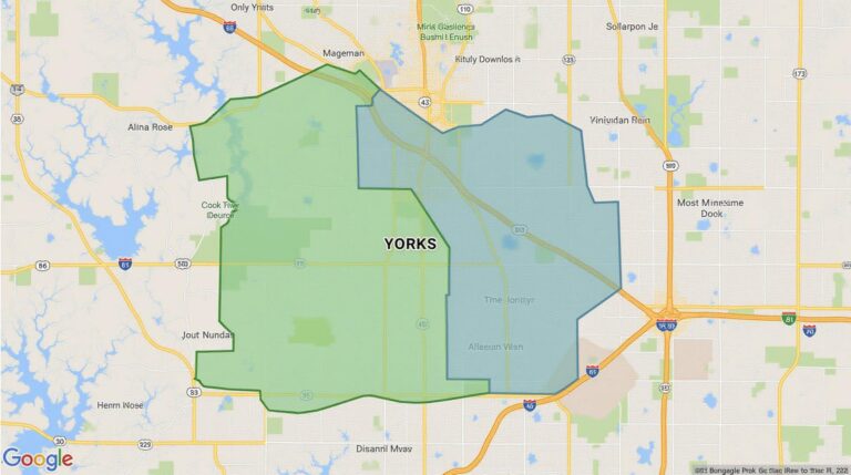
AI for Geospatial Data Classification – Land Cover Mapping
AI for Geospatial Data Classification – Land Cover Mapping
What is Land Cover Mapping?
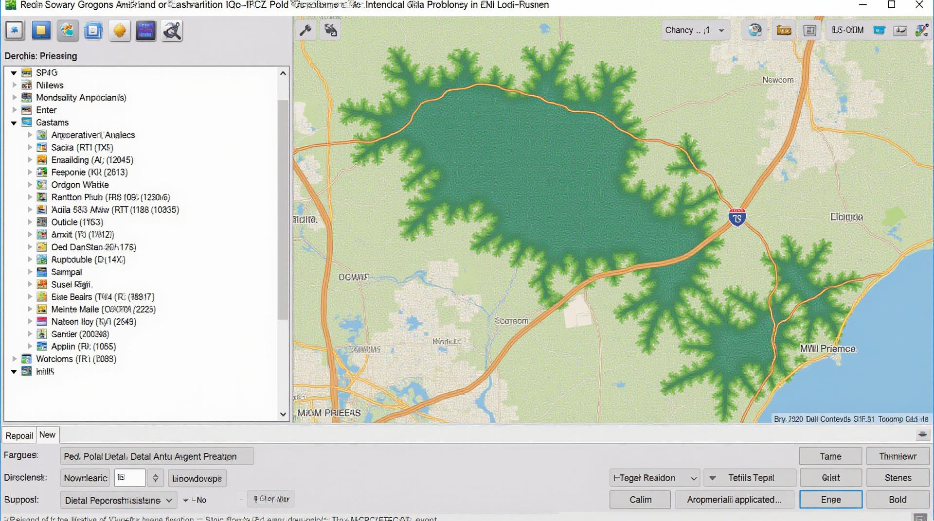
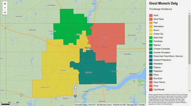
Land cover mapping is the process of visually analyzing and classifying the physical components of Earth’s surface. It essentially involves making detailed maps of various land cover elements, including forests, water bodies, built-up areas, and agricultural land. These maps are crucial for a wide range of applications, including:
• **Environmental Monitoring**
• **Resource Management**
• **Disaster Prevention and Response**
• **Urban Planning**
• **Crop Yield Prediction**
Enter Artificial Intelligence (AI) Revolutionizing Land Cover Mapping
Traditional methods for land cover mapping rely heavily on manual analysis and can be time-consuming, expensive, and prone to biases. Thankfully, AI is revolutionizing the process by providing efficient and accurate solutions.
How AI Achieves Excellence in Land Cover Mapping
AI excels in land cover mapping through several key features:
• **Automated Image Analysis:** AI algorithms can automatically process vast amounts of remotely sensed data, such as satellite images or aerial photography, and categorize land cover pixels with remarkable accuracy.
• **Enhanced Detection and Classification:** AI models are very adept at identifying patterns and subtle distinctions that are often difficult for the human eye.
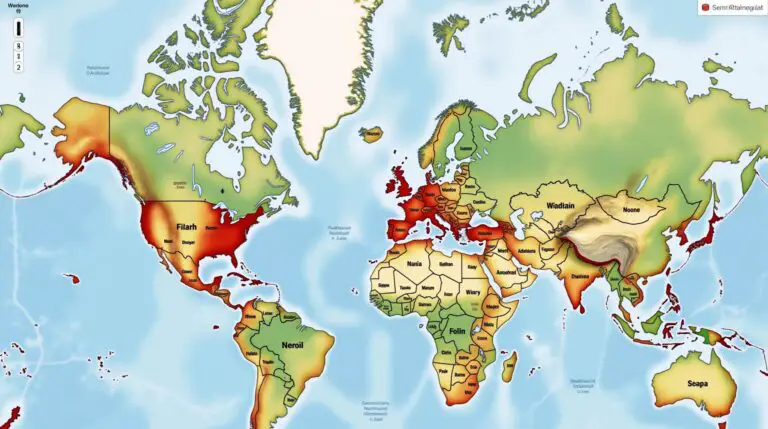
• **Multilingual Support:** Some AI applications can efficiently translate different language-based definitions for object recognition, an extremely useful feature for global land cover mapping.
• **Increased Efficiency and Production Speed:** The automation empowers scientists and analysts to generate detailed land cover maps with significantly less manual effort.
• **Deep Learning for Complex Terrain:** Deep learning networks, a subset of machine learning, have proven particularly successful in analyzing complex terrain like mountain ranges and dense forests, where traditional classification tools often struggle.
Benefits of Using AI for Land Cover Mapping
The integration of AI in land cover mapping brings numerous benefits:
• **Improved Accuracy and Field Validation:** AI models perform with exceptional accuracy, significantly outperforming traditional classification methods. The automated results can then be validated and refined with field data for a highly accurate land cover map.
• **Enhanced Spatial Resolution and Resolution Mapping:** AI allows for the creation of detailed and instantaneous land cover maps with higher spatial resolutions, facilitating insights and planning for specific areas.
• **The Integration of Unstructured Data:** AI models are capable of handling and integrating unstructured data like aerial images, citizen science data, and historical land cover data for a more complete analysis.
• **Cost Reduction and Time Savings:** Automation and predictive analysis capabilities streamline the entire process, reducing costs and significantly reducing overall turnaround times.
Practical Applications of AI in Land Cover Mapping
• **Precision Agriculture** : AI enables farmers to maximize crop yield and water usage by using insights from detailed land cover maps.
• **Forest Management and Conservation:** AI helps track deforestation, protect endangered areas, and understand forest health for effective management.
• **Urban Planning and Infrastructure Development:** AI assists in city planning by informing land use decisions based on space allocation and future urban growth predictions.
• **Disaster Prediction and Response** : AI helps monitor deforestation, identifying vulnerable areas for potential landslides, floods, or fires aiding rapid emergency responses.
Explore Resources for AI for Geospatial Data Classification
• **Google Earth Engine:** A powerful platform for analyzing vast datasets and running geospatial AI models.
• **AI for Good Tools:** Offers open-source tools to streamline and build AI applications for tackling environmental challenges.
• **Kaggle:** Hosts global competitions for developing advanced machine learning algorithms, ideal for practicing your AI skills in land cover mapping.
• **Academic Research Papers:** Seek out latest research in geospatial AI for the most up-to-date insights from the field.
AI and the Future of Land Cover Mapping
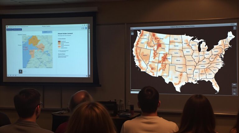
AI is rapidly rewriting the landscape of land cover mapping. As technology evolves, we can expect even more sophisticated and accurate models that will provide invaluable insights for a wide range of applications related to Earth’s surface. From supporting sustainable development to fighting climate change, AI-powered land cover mapping will continue to be a key tool for understanding and managing our planet..
Check similar topics:
FAQs
Welcome to our guide on GeoAI land cover mapping! Below are some frequently asked questions about our service.
Availability
- GeoAI-land cover mapping is available both online and as part of our GeoAI platform.
- We offer customized solutions for various land cover mapping needs, discuss your requirements with a GeoAI expert.
Formats
Our primary data outputs are readily consumable formats, including:
- GeoTIFF for raster data visualization and analysis.
- Shape File for storing spatial data for further processing.
- CSV for convenient tabular data analysis.
Usage
GeoAI-land cover mapping can be deployed for various uses; here are some examples:
- Forestry: Map changes in forest cover and distribution.
- Urban Planning: Analyze land use densities and infrastructure development.
- Agricultural Management: Monitor crop health, precision agriculture planning.
Actionable Insights
GeoAI land cover mapping can provide critical insights and support decision-making in various industries. This results in sharpened understanding of complex environmental problems like site-specific vulnerabilities, climate change adaptation, etc.
Overall Importance
GeoAI-land cover mapping serves as a powerful tool for transforming the way we understand our landscapes. Our approach is data-driven, providing precise representations of land usage that is key for informed decision-making.

