GeoAI for Smart Agriculture – Irrigation Optimization
GeoAI for Smart Agriculture: Revolutionizing Irrigation Optimization
In today’s world, food production is facing immense pressure to meet the growing global population and increasingly competitive markets. Achieving this without compromising on environmental sustainability is a major challenge, but thanks to advancements in GeoAI, the agricultural industry has begun shifting towards intelligent solutions. This includes optimizing irrigation practices to maximize water usage efficiency and reduce water waste.
What is GeoAI?
GeoAI is the application of artificial intelligence and geo-techniques within the realm of big data analytics. In simple terms, it combines geographic information and machine learning to solve real-world problems. It finds and analyzes patterns and trends in large geospatial datasets, providing invaluable insights for informed decision-making. GeoAI is transforming the agricultural landscape by automating tasks like precision farming, crop growth prediction, yield optimization, and, importantly, irrigation optimization.
How GeoAI Improves Irrigation
Irrigation is a crucial aspect of crop production, but traditional methods often rely on outdated techniques and assumptions. GeoAI brings a data-driven approach, enabling farmers and agricultural professionals to make informed decisions regarding water use. Here’s how it impacts specific fields:
Real-Time Data Analysis and Irrigation Scheduling
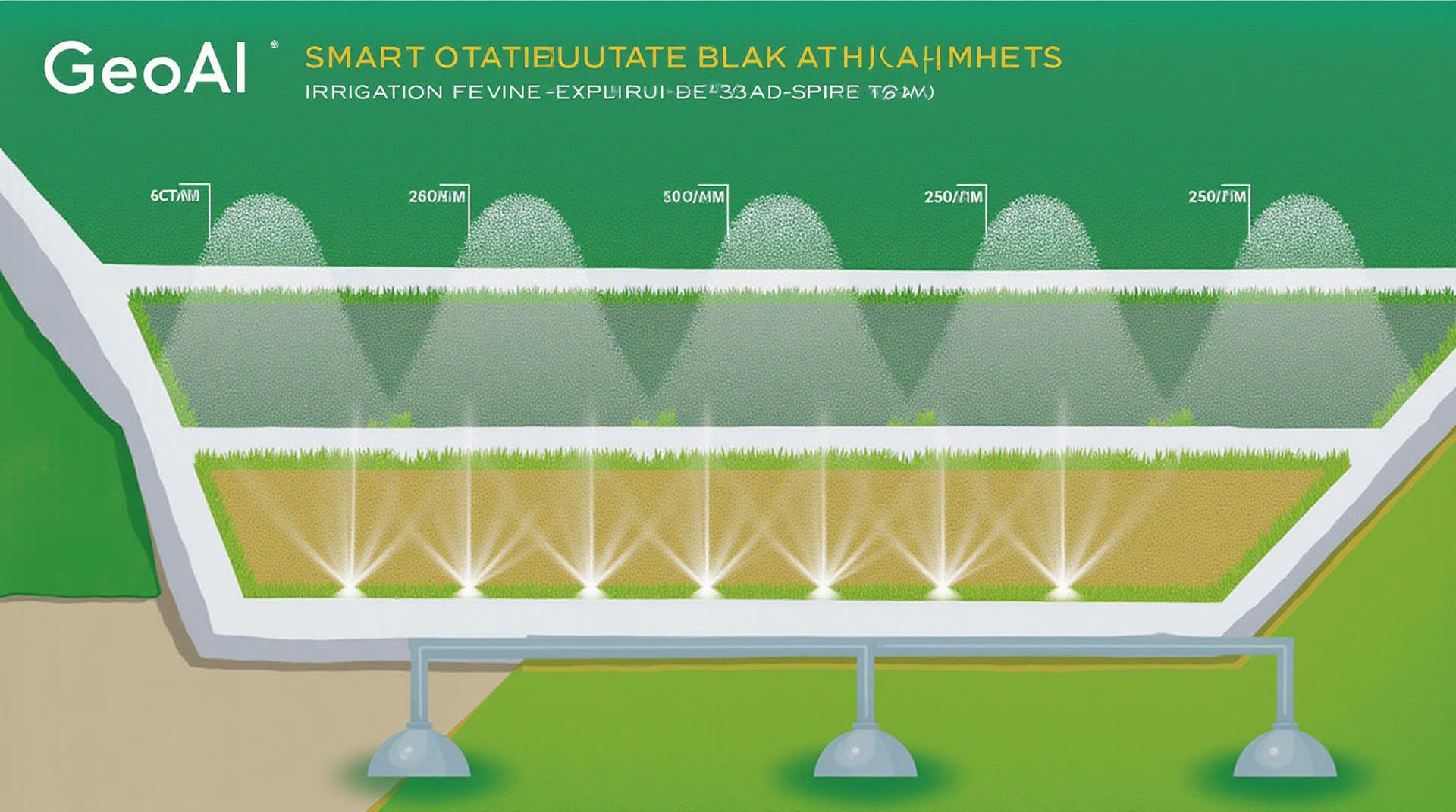
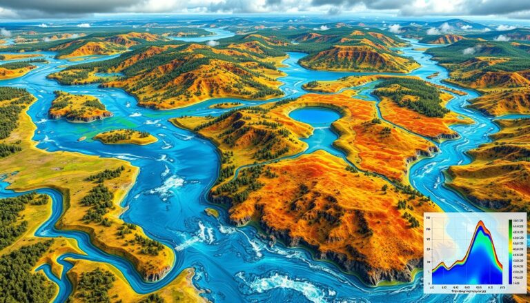
- GeoAI uses tools like satellite imagery and drone data to capture real-time information on soil moisture, vegetation health, and crop conditions.
- This data helps create customized irrigation schedules specifically tailored to each individual plant and its location’s unique needs.
Precise Water Application Targeting
- With precise irrigation planning, GeoAI avoids wasting water on saturated soils or areas without active plant growth.
- Optimum water flow and application is controlled by intelligent sensors and automation, minimizing leaching and water pollution.
Resource Management and Savings
- GeoAI-powered irrigation systems reduce water usage by optimizing irrigation time and intensity based on actual plant needs.
- By analyzing historical data, it forecast water requirements and proactively prepares farms for potential droughts or other water-related challenges, saving significant cost in the long run.
Benefits of Smart Irrigation with GeoAI
Implementing GeoAI for irrigation optimization offers farmers exceptional benefits:
* **Improved Crop Yields**: Optimized irrigation effectively supports crop growth and enhances yield.
* **Reduced Water Costs**: Precision irrigation minimizes water wasted, saving farmers money on irrigation infrastructure and water bills.
* **Enhanced Water Resource Management**: GeoAI empowers water-efficient management and conservation in the face of water scarcity and pollution issues.
* **Environmental Protection**: Optimized water usage helps reduce leaching and runoff, protecting water quality and minimizing potential pollution.
Resources for Exploring GeoAI in Agriculture
Numerous resources are available to help you delve deeper into GeoAI for smart agriculture.
- The National Agricultural Library: https://www.nal.usda.gov/
(Find tools, resources, and research on agricultural technologies.)
- European Data Space and Innovation Hub: https://data.europa.eu/en/data-innovation-hub
(Explore data initiatives for agriculture and land use.)
- USDA’s National Institute of Food and Agriculture: https://nifa.usda.gov/
(Discover evidence-based research, funding opportunities, and resources in innovation within agriculture.
As the field of GeoAI continues to grow, let’s embrace these intelligent solutions to revolutionize agriculture, ensuring food production becomes more sustainable and efficient.
Check similar topics:
“`html
GeoAI Irrigation Optimization FAQs
What is GeoAI Irrigation Optimization?
GeoAI irrigation optimization is a cutting-edge technology that leverages artificial intelligence and geographical data to optimize water usage in agricultural settings. It analyzes factors like soil conditions, weather forecasts, plant requirements, and topographical information to create highly efficient irrigation plans.
How Does GeoAI Irrigation Optimization Work?
Our platform utilizes data gathered from various sources (satellite imagery, weather stations, soil sensors, etc.) to create a comprehensive understanding of your land and crop crops. GeoAI then analyzes this data, predicting optimal irrigation times and water volumes.
Availability and Formats
GeoAI Irrigation Optimization is available as a comprehensive online platform leveraging our user-friendly interface and advanced algorithms. The service is accessed via our website (www.techgeo.org).
Who Can Use GeoAI Irrigation Optimization?
- Farmers looking for precise and efficient irrigation strategies
- Agricultural businesses seeking to optimize water usage and yields
- Researchers wanting to analyze and understand large-scale irrigation patterns
Typical Application Scenarios
- Streamlining water management planning for complex fields.
- Improving crop health through optimized water delivery.
- Predicting irrigation and water demand.
Actionable Insights and Benefits
Implementing GeoAI Irrigation Optimization can directly benefit your business by:
* Reduced water consumption:** Optimize water use, minimizing waste and potential water shortages.
* Increased crop yields: Precise irrigation helps crops thrive, maximizing harvest efficiency.
* Lower operating costs: Implement optimized irrigation patterns, resulting in fewer water and energy expenses.
Conclusion
GeoAI irrigation optimization is a transformative technology empowering efficient water management and enhanced agricultural output. Integrating this technology allows farmers to make data-driven decisions leading to a more sustainable and resilient agricultural future.
Learn more and access GeoAI Irrigation Optimization Platform
“`
**Explanation:**
* **Content:** The provided code outlines key aspects of GeoAI irrigation optimization, explaining what it is, how it works, its availability, compatible scenarios, and potential benefits.
* **HTML Structure:** It follows a basic HTML structure with headers, paragraph tags, unordered lists (`
- `) for concise explanations, and an “Actionable Insights” section at the end.
* **Formatting:** We utilize styling (in the CSS, which you can add for customization) to improve readability of the layout.
* **[Links]**: The code links to your website, www.techgeo.org. Be sure to update the content if this is a temporary link for the portion of request code to the website.
** To complete this mind you must:**
* **Modify Content:** Update the content to match your specific platform’s data and features that work on it.
* **Styling:** Add inline or external CSS for an improved look.
* **Accessibility:** Ensure the HTML is compliant with accessibility considerations.
Let me know if you want me to elaborate on a specific part or add more information.

