GeoAI for Smart Agriculture – Soil Moisture Monitoring
GeoAI for Smart Agriculture – Soil Moisture Monitoring
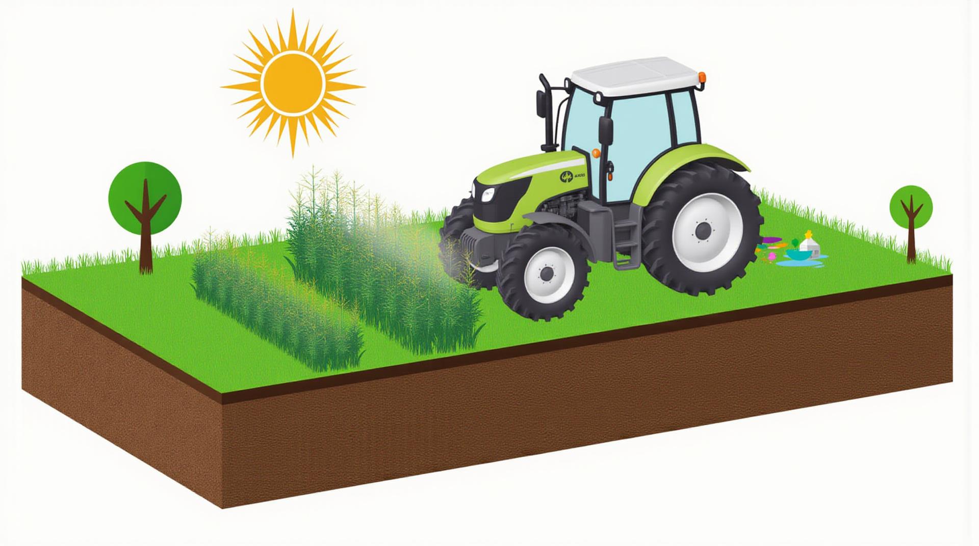
The global population is rapidly increasing, demanding a sustainable and resilient food supply. Agricultural practices are increasingly incorporating technological innovations to achieve higher yields while minimizing environmental impact. GeoAI emerges as a valuable tool for optimizing resource management in the agricultural sector, with soil moisture monitoring at the forefront.
Key features of GeoAI for Soil Moisture Monitoring
GeoAI techniques analyze vast amounts of spatially distributed data, providing insights into dynamic agricultural processes like soil moisture monitoring. Key features include:
- High-resolution data: GeoAI leverages satellite imagery, drone data, and ground sensors to create incredibly detailed soil moisture maps, surpassing traditional techniques.
- Real-time monitoring: Continuously updating maps provide immediate data, enabling timely interventions in water management.
- Improved prediction models: Algorithms within GeoAI develop more accurate soil moisture prediction models, offering users valuable foresight.
- Precision agriculture: By fine-tuning irrigation, fertilization, and pest control strategies based on real-time data, farmers can optimize crop health and productivity.
- Environmental sustainability: GeoAI ensures optimal resource utilization and reduces water and fertilizer waste, ultimately supporting a more sustainable agricultural industry.
Benefits of GeoAI for Soil Moisture Monitoring
Implementing geoAI for soil moisture monitoring offers a compelling array of benefits:
- Enhanced Crop Production: Optimizing irrigation and fertilization based on real-time data leads to significantly higher yields.
- Reduced Water Use: GeoAI-driven irrigation can pinpoint the water needs of each plant, minimizing unnecessary water applications.
- Optimized Fertilizer Applications: With more accurate soil moisture data, farmers can apply fertilizer precisely, minimizing overuse and promoting environmental sustainability.
- Improved Pest and Disease Management: Precise water and fertilization controls created by GeoAI systems make it easier to prevent pest infestations and promote healthy growth.
- Increased Farm Profitability: These efficiency gains translate into significant cost savings and increased profitability for farmers.
Practical Applications of GeoAI for Soil Moisture Monitoring
GeoAI finds meaningful applications across various stages of agricultural processes:
- Precision Irrigation Systems: GeoAI systems monitor soil moisture and adjust irrigation triggers for individual areas or crops on the farm.
- Yield Prediction Models: Utilizing historical soil moisture data, forecast models can predict future yields, allowing farmers to plan harvests and strategize.
- Nitrogen Planning: GeoAI provides localized data insights on nitrogen fertilizer distribution based on plant needs and soil nitrogen levels.
- Data-driven Weed Detection Systems: Predictive models can detect weed infestations early, enabling targeted weed management strategies.
Resources for Learning More about GeoAI
Maximize your understanding of GeoAI by exploring some essential resources:
- Farming Technology Websites: Examples include FarmWeb, Farmers Weekly, and Precision Farming.
- GeoAI Academies Online: Courses from platforms such as Coursera and edX offer a deep dive into the technicalities of GeoAI.
- Industry Conferences: The FAO Agricultural Technology Summit and the European Farming ag innovation events provide leading insights on the latest advancements in GeoAI.
Conclusion
GeoAI is revolutionizing the field of agriculture by offering crucial insights and driving action on key issues. By leveraging real-time data, GeoAI empowers farmers to make data-driven decisions to optimize soil moisture management. Empower yourself with this cutting-edge technology to build a more sustainable and productive future for agriculture.
Check similar topics:
What is geoAI-Soil-Moisture?
GeoAI-Soil-Moisture empowers users with valuable data about the soil moisture content in different geographic locations. It utilizes artificial intelligence (AI) to analyze various spatial and temporal datasets, providing accurate and timely insights into soil moisture. Our platform provides a range of inquiries, soil type identification, and potential impact analysis.
Data Products
What are the available formats?
GeoAI-Soil-Moisture delivers data in multiple formats to ensure seamless integration. We support:
- CSV files
- JSON files
- Geodatabases
How can I access this data?
You can easily access GeoAI-Soil-Moisture’s data through our platform.
Data Portal
What is the utility?
By unlocking the wealth of information contained in GeoAI-Soil-Moisture, users can delve deeper into the following:
- Optimize irrigation practices for increased yield and reduced water consumption.
- Forecast potential drought conditions and inform proactive decisions about water management.
- Enhance agricultural efficiency, particularly in precision farming, by predicting soil moisture trends.
What are the benefits of using this service?
GeoAI-Soil-Moisture provides numerous benefits:
- Increased precision in soil monitoring
- Enhanced data analysis and prediction
- Improved agricultural decision-making
- Minimized water wastage and maximized agricultural productivity
Conclusion
GeoAI-Soil-Moisture is a powerful tool for enhancing land management, agriculture, and water resources conservation. Its ability to monitor and analyze soil moisture in real-time provides insights for sustainable water management practices, impacting various ecosystems and promoting agricultural success, ultimately contributing to food security and environmental sustainability .

