AI in Geospatial Data Clustering – Spatial Grouping
Understanding and Leveraging AI in Geospatial Data Clustering
In the age of Big Data, understanding and analyzing spatial patterns are fundamental for decision-making across various industries. Geospatial data, encompassing everything from satellite imagery to GPS coordinates and demographic demographics, holds immense potential for unlocking insights. But, sifting through this data to identify meaningful clusters and patterns, often manually or with basic techniques, can be time-consuming and prone to inaccuracies. This is where Artificial Intelligence (AI) comes in, revolutionizing geospatial data clustering to generate accurate and insightful spatial groupings.
What is Spatial Grouping?
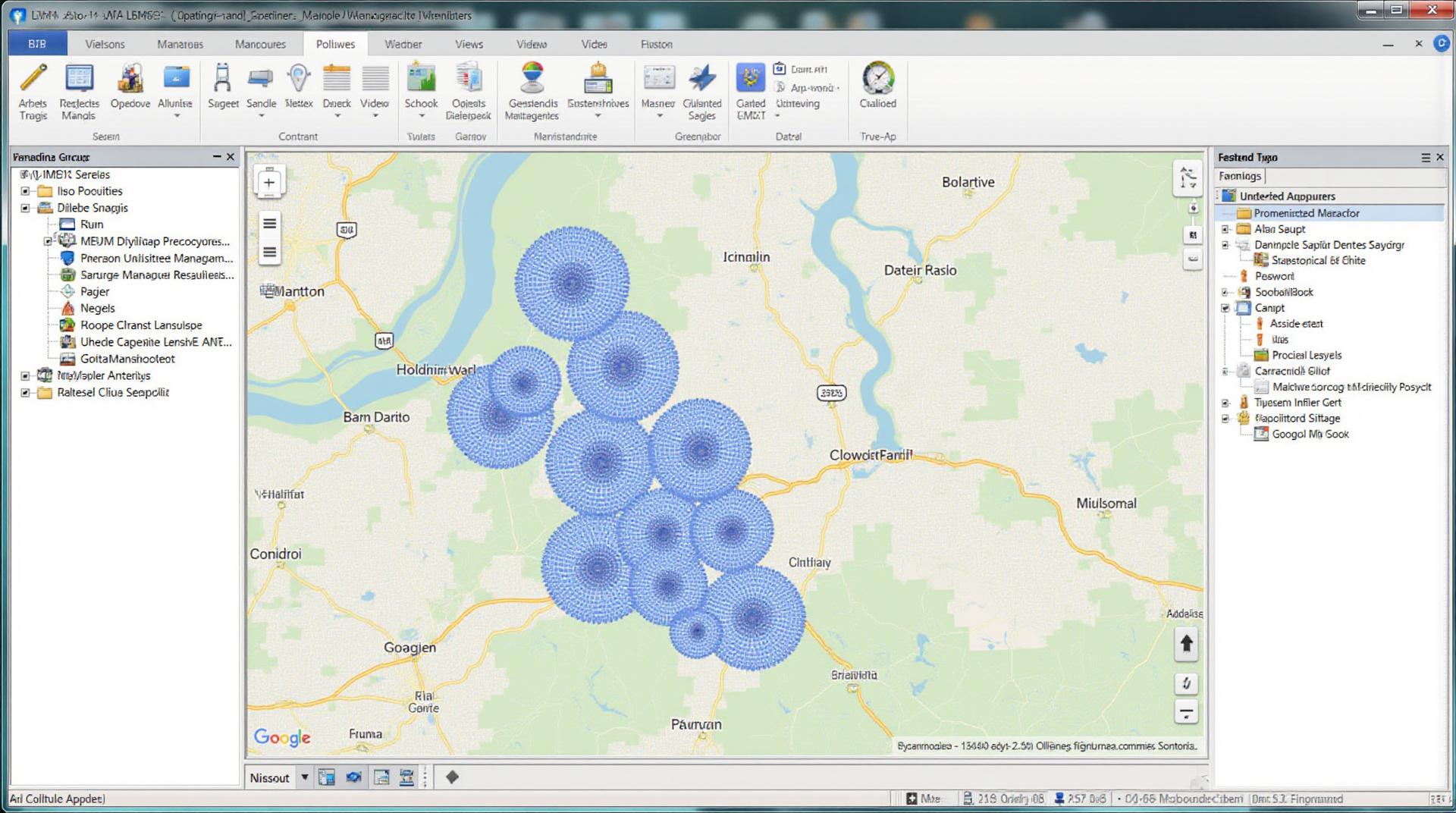
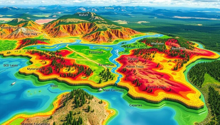
Spatial grouping in geospatial data clustering involves automatically identifying and classifying similar or related geographical features based on the information they carry. Imagine grouping clusters of cities, areas with similar climates or land use patterns, or identifying regions where certain events or trends might be correlated.
AI’s Role in Geospatial Data Clustering
AI excels at extracting valuable information from data. Specialized algorithms like Deep Learning, Data Mining, and Machine Learning can be taught to automatically recognize spatial relationships, patterns, and interactions in geospatial data. This ability provides several key advantages:
* **Improved Accuracy and Precision:** AI can outperform traditional techniques by avoiding human biases and recognizing nuanced spatial relations often missed by basic analysis tools.
* **Efficient Processing:** AI algorithms can manage massive datasets with speed and efficiency, even with complex spatial relationships, making them suitable for real-time insights.
* **Automation:** AI-powered tools can automatically cluster data without manual intervention, freeing up time and resources for analysis and decision-making.
* **Predictive Abilities:** Combining location and relevant context with AI allows for predictive power: Identify potential hotspots for disease outbreaks, optimize logistical routes, or estimate future land use changes, among other important tasks.
Key Features and Tools
- Clustering Algorithms: k-means, DBSCAN, hierarchical clustering, spectral clustering, and Gaussian Mixture Modelling are commonly used.
- Deep learning architectures: Convolutional Neural Networks (CNNs), specifically designed for spatial information, are highly effective in image analysis, capturing complex patterns from satellite imagery and other image data.
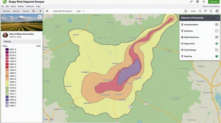
- Geo-spatial databases: Platforms like ArcGIS, QGIS, Google Maps Platform, etc., provide a framework for storing, managing, and accessing geospatial data.
Practical Applications
Here are some real-world examples where AI in geospatial data clustering is making a difference:
* **Urban Planning and Development:** Identifying areas suitable for new housing, sustainable urban design, and zoning changes for efficient land use.
* **Disaster Response and Risk Management:** Predicting disasters like floods and fires by analysing patterns and trends, optimizing resource allocation for emergency response.
* **Agriculture and Environmental Monitoring:** Identifying pest outbreaks, predicting crop yields, and monitoring environmental degradation for sustainable land management practices.
* **Marketing and Consumer Behavior:** Understanding consumer clusters based on location and interests for targeted advertising campaigns.
* **Public Health and Disease Prediction:** Identifying hotspots for contagious diseases, understanding disease dissemination and improving planning for vaccination programs.
Resources for Further Learning
If you are interested in exploring the world of AI in geospatial data clustering further:
* **Government agencies and research organisations:
– Agencies like NASA, USGS, and NOAA often publish research papers and applications of AI in spatial data analysis.
– National labs in various countries are also actively researching this area.
* **Online Courses and Tutorials:
– Kaggle, Coursera, and edX offer online courses on AI and geospatial analysis, including tutorials on working with spatial data clustering.
By embracing the power of AI, geospatial analysts can unlock new insights, enhance decision-making, and gain a competitive edge in an increasingly data-driven world.
Check similar topics:
What is GeoAI Spatial Grouping?
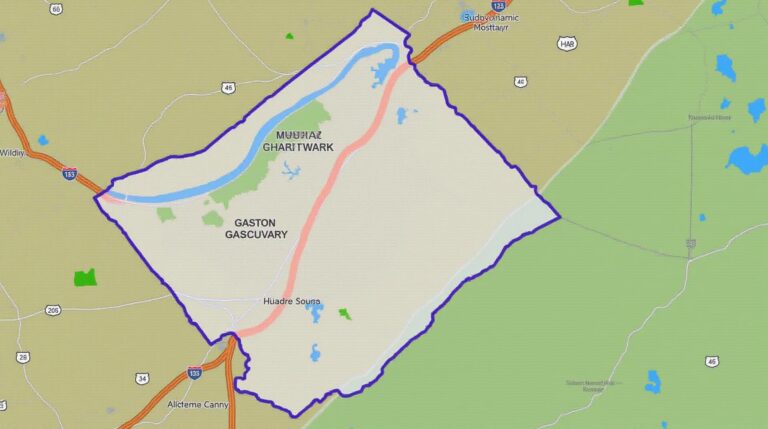
GeoAI spatial grouping is a powerful AI-powered technique that analyzes geographical data to group locations into meaningful clusters based on shared characteristics or proximity. This helps us understand spatial patterns, relationships, and trends that would be difficult to discern manually.
Availability
GeoAI Spatial Grouping is readily available through various tech providers, including EarthExplorer, ArcGIS, and Tableau. Our site contains more information on our platform and API access.
Formats and Data Requirements
GeoAI spatial grouping is compatible with various common formats, including GeoJSON, KML, and Shapefile. Ensure your dataset is optimized for spatial analysis, whether using closed or open polygons, points, and lines. Our resources and online help can guide you through choosing the best format and optimizing your data.
GeoAI Spatial Grouping Usage
- Identifying Urban Patterns and Growth: Analyze changes over time in population density, land use, and transportation networks for effective urban planning.
- Optimizing Resource Allocation and Distribution: Improve logistics, traffic management, and resource deployment by understanding patterns of demand and supply.
- Geo-Mapping Disaster Response and Risk Analysis: Gather insights for humanitarian aid, evacuations, and damage assessment during emergencies.
- Identifying Potential Clusters for Investment and Development: Analyze economic activity, trade data, and demographic patterns to pin-point profitable business opportunities.
Importance of GeoAI Spatial Grouping
GeoAI spatial grouping significantly improves our ability to understand and interpret complex spatial relationships, furthering our scientific discoveries, commercial strategies, and public safety. Its applications range from urban development planning to complex disaster analysis, promoting optimized resource allocation and facilitating informed decision making.
Actionable Insights
Adopt GeoAI spatial grouping to:
* Optimise your business operations by making data-driven decisions based on real-time geographic patterns.
* Enhance public health interventions and resource management proactive mitigation strategies.

