GeoAI for Smart Urban Development – Zoning Optimization
GeoAI for Smart Urban Development – Optimizing Zoning
As our global urban areas swell, so too does the need for effective and efficient resource management. Traditional planning methods often struggle to keep pace with the complexities of modern cities. Enter GeoAI:
What is GeoAI?
GeoAI, or Geographical Artificial Intelligence, employs machine learning algorithms and data analytics techniques to analyze spatial data. It combines data from various sources – including satellite imagery, sensor networks, demographic data, and geographic information systems – to provide insights for urban development.
Benefits of GeoAI for Zoning Optimization
- **Improved Accuracy:** GeoAI can help identify areas suitable for specific uses, validating past data via current trends and building patterns, leading to a more accurate and less biased zoning plan.
- **Predictive Analytics:** This technology enables forecasting future land market values and urban development patterns, facilitating strategic financial decisions and land allocation.
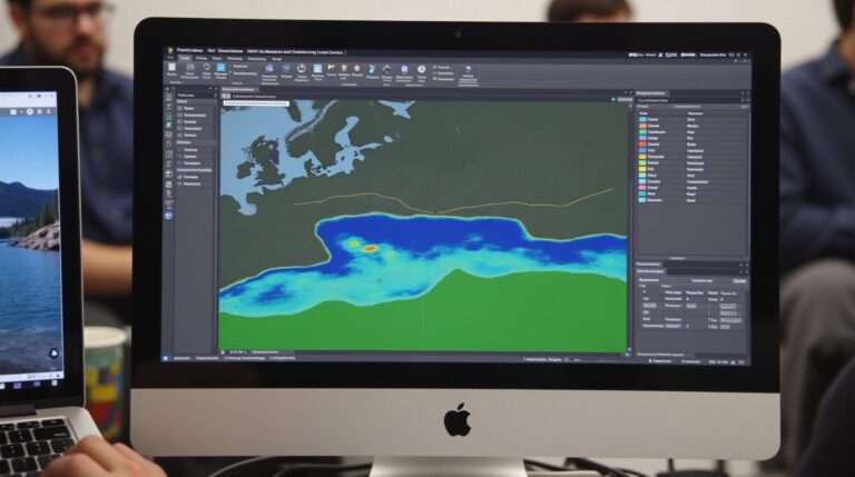
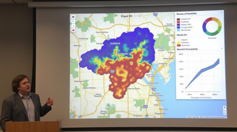
- **Resource Efficiency:** Heatmaps, density analysis, and real-time data can identify areas that require denser infrastructure (e.g., transportation outlay, communication networks), allowing efficient planning of resources.
- **Maximized Public Spaces:** GeoAI analyzes available data to allocate public green areas and safe pedestrian zones, contributing to a more sustainable and livable urban environment.
Key Features of GeoAI in Zoning Optimization
Here are some key features of GeoAI for zoning optimization:
- **Geospatial Data Analysis:** Analyzing spatial patterns, densities, and relationships in land ownership, building characteristics, and community demographics.
- **Machine Learning Algorithms:** predictive modeling that optimizes zoning based on historical data, current industry demands, and future projections.
- **Dynamic Decision-Making:** Real-time feedback and adjustments based on traffic patterns, resource consumption, and evolving community needs.
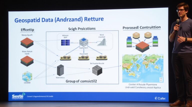
- **Integrated Data Platforms:** Seamless integration of data from multiple sources, creating a comprehensive understanding of the urban landscape.
Practical Applications of GeoAI in Zoning
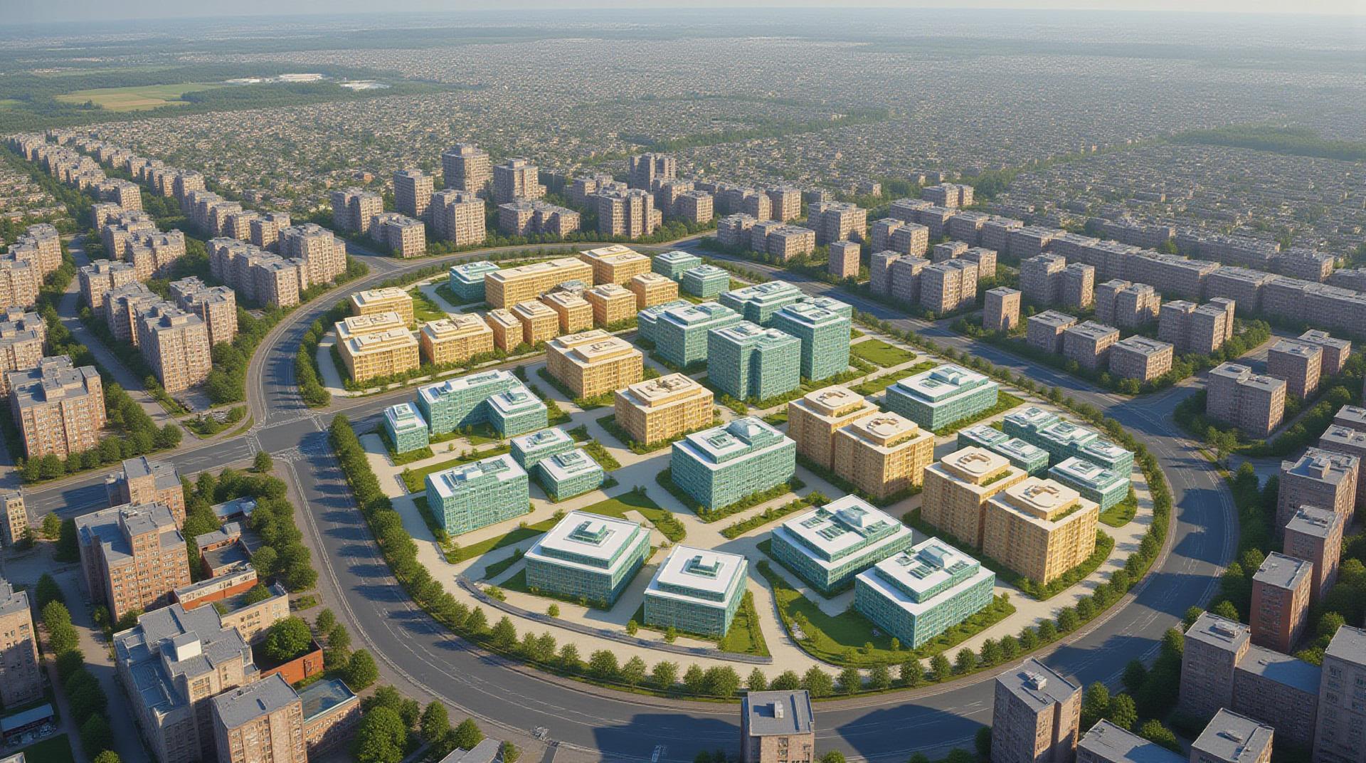
From optimizing school zone boundaries to planning sustainable development areas, GeoAI is transforming urban planning:
- **Predicting City Growth:** GeoAI helps study community demographics, land availability, and potential construction to plan future infrastructure development and economic incentives.
- **Targeted Water Resources Management:** Assessing drought risk & preparedness for arid regions by analyzing precipitation patterns, water usage, and land suitability.
- **Traffic Flow Optimization:** Predicting congestion and problematic areas by analyzing real-time traffic data and integrating it with public transit routes.
- **Efficient Public Space Allocation:** Web-based platforms analyze public needs and community feedback to formulate a comprehensive plan for parks, libraries, and recreational areas.
Resources and Tools for GeoAI
Exploring GeoAI further and testing practical applications can be done via various resources:
- **Google Earth Engine**: Powerful tool for Earth Observation, data base of satellite imagery of various time scales.
- **OpenStreetMap**: Free and editable map to spatially address current land data.
- **Climate Data Online**: Access a wide range of climate data to inform urban planning.
- **QGIS**: A popular open-source geographic information system with powerful and versatile tools.
Conclusion
GeoAI is a remarkable tool for cities striving to optimize zoning decisions and resources. By embracing this innovative technology, we can create a future that is more sustainable, efficient, and equitable for all.
Check similar topics:
GeoAI Zoning Optimization FAQs
This FAQ section answers common questions about geoAI zoning optimization. Please feel free to check these answers or reach out to our team for any further inquiries regarding techgeo.org solutions.
What is GeoAI Zoning Optimization?
GeoAI zoning optimization involves using artificial intelligence to analyze location-based data and optimize zoning plans. This innovative tool allows for precise analysis and understanding of population distribution, demand patterns, and environmental factors to develop truly efficient zoning schemes.
What formats does GeoAI Zoning Optimization offer?
- Vector data: Combining high-resolution imagery with demographic and economic data, vector data provides detailed insights into planning for efficient city layouts.
- Point formats: Ideal for identifying specific locations, point format data allows for precise zoning across diverse locations throughout a city.
- Customizable maps: Tailor-made maps enable users to visualize data and analyze specific zones in personalized ways.
Is GeoAI Zoning Optimization available for everyone?
Our geoAI network adapts to different geographic scales and zoning objectives. We offer various options based on your needs, from free trial packages to customized solutions for individual clients and government agencies.
How can I use GeoAI Zoning Optimization?
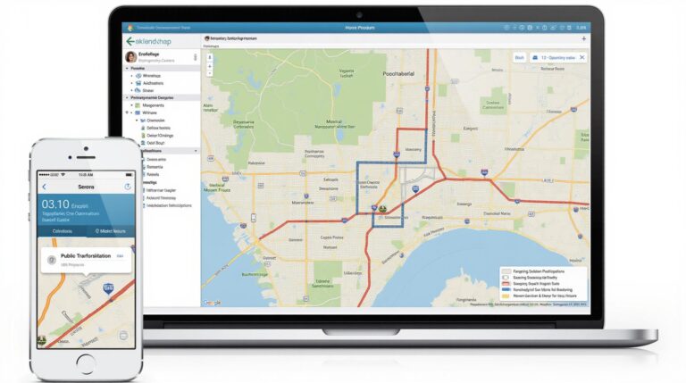
GeoAI Zoning Optimization provides a user-friendly platform for data analysis, visualization, and planning. It encompasses several features such as:
- Intuitive interfaces: Easily navigate and visualize data.
- Advanced filtering options: Limit data analysis based on specific needs.
- Dynamic mapping capabilities: Visually explore data distribution with realistic visualizations.
What are the benefits of adopting GeoAI Zoning Optimization?
Using GeoAI Zoning Optimization can lead to:
- Increased efficiency: Optimize land use and resources for quicker planning.
- Increased revenue potential: Identify high-demand areas for investments.
- Environmentally sustainable development: Optimize zoning to minimize environmental impact.
Conclusion
GeoAI zoning optimization plays a crucial role in optimizing urban and suburban planning, while enhancing sustainability and bolstering economic development. Utilizing this potent tool can revolutionize zoning decisions, helping your community flourish in a sustainable and prosperous way.
”

