GeoAI in Disaster Recovery – Post-Disaster Mapping
GeoAI in Disaster Recovery – Post- Disaster Mapping
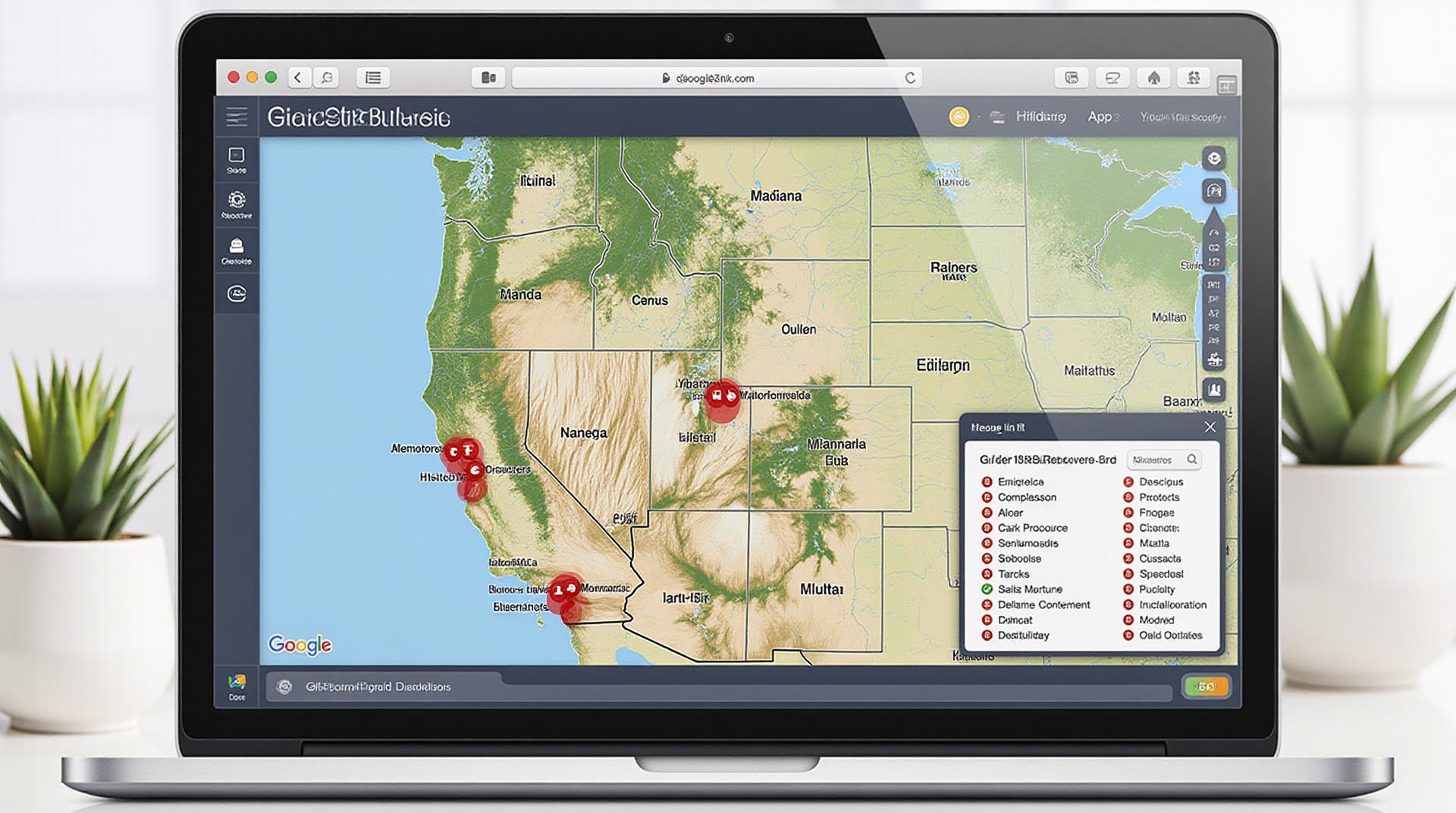
In the aftermath of a disaster striking, the need for accurate and timely information is paramount to ensure rescue, recovery, and resilience. GeoAI emerges as a crucial tool, empowering organizations and officials with powerful tools for post-disaster mapping. This article delves into how GeoAI is changing the landscape of disaster recovery, focusing on its abilities to transform disaster response.
What is GeoAI?
GeoAI, short for Geographic Artificial intelligence, combines geographic information systems (GIS) with artificial intelligence (AI) techniques. This fusion bridges the gap between traditional geo-spatial data analysis and advanced AI algorithms. GeoAI empowers planners, first responders, and relief organization with sophisticated tools for data processing, prediction, and decision-making.
Key Features of GeoAI in Disaster Recovery
- Detailed Damage Assessment: GeoAI can analyze satellite images, aerial photography, and LIDAR scans to pinpoint damage inflicted on infrastructure, buildings, and infrastructure.
- Predictive Analytics: GeoAI uses historical data, weather patterns, and real-time sensor information to predict potential disaster hotspots.
- Efficient Resource Allocation: GeoAI streamlines the allocation of resources, directing them to areas most in need and minimizing duplication.
- Evacuation Planning: GeoAI pinpoints safest evacuation routes, identifying potential risks and overcrowding concerns.
- Damage Mitigation: GeoAI analyzes geological data, enabling the creation of protective structures and early warnings for natural disasters.
Benefits of GeoAI in Disaster Recovery
Beyond Critical Applications, GeoAI offers significant benefits:
* **Reduced Loss of Life:** Through proactive, data-driven mapping, GeoAI minimizing casualties by identifying at-risk areas and directing deployed resources effectively.
* **Improved Logistics:** GeoAI optimizes logistics by ensuring efficient movement of goods, personnel, and vital supplies.
* **Rapid Decision-Making:** GeoAI delivers near real-time data, enabling faster and more informed decision-making for officials.
* **Cost-savings:** GeoAI can expedite various processes, including damage assessment and resource allocation, ultimately resulting in cost savings.
Practical Applications of GeoAI
Here are a few practical examples of how GeoAI is being employed in disaster recovery:
* **Hurricane Damage Assessment:** Mapping hurricane-affected areas for damage assessment, prioritizing areas requiring immediate aid.
* **Tsunami Evacuation:** Identifying high-risk evacuation routes, optimizing people flow, and communication.
* **Wildfire Management:** Analyzing real-time fire spread data, allowing for efficient firefighting resources allocation.
* **Earthquake Vulnerability Assessment:** Determining potential areas of damage and risk, directing critical infrastructure restoration efforts.
* **Landslide and Flood Risk Mapping:** Exploring leading indicators of flooding and landslides before the actual events, enabling proactive measures to minimize damage
Harnessing GeoAI for a Better Future
GeoAI is a game-changer in disaster recovery, transforming how we respond to earthquakes, hurricanes, and other emergencies. By combining cutting-edge AI and GIS, we enhance vital infrastructure for disaster preparedness and response, paving the way for a future of resilience and disaster mitigation.
Further Exploration and Resources
- ESRI: A leading provider of geospatial information technology.
- Google Maps: A powerful tool for access geospatial data and embedding it in applications.
- OpenStreetMap: An open-sourced collaborative platform for finding specific geographic detail.
Check similar topics:
- ai-climate-change-geospatial
- geoai-smart-city-development
- geoai-wildlife-habitat-mapping-species-conservation
FAQs
Here are some frequently asked questions about geoAI-disaster recovery mapping:
Availability
GeoAI-disaster recovery mapping is available through our platform,
techgeo.org. You can sign up for a free trial or choose a subscription plan that suits your needs.
Formats
Our platform supports various data formats, such as:
- GeoJSON
- Shp
- KML
- CSV
Usage
You can use our platform to:
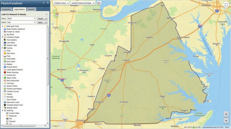
- Visualize and analyze damage data in relation to disaster prediction metrics
- Create maps for efficient resource allocation by disaster relief organizations
- Track the fast-changing situation of damage analysis with updated maps.
- Communicate disaster events and support impacted areas via interactive maps.
Why is geoAI-Disaster Recovery Mapping Important?
GeoAI Disaster Recovery Mapping plays a critical role in aiding disaster response efforts and planning forward. By
leveraging the power of AI on geographical information, we can:
* **Improve perception and analysis:** By stitching together data from various sources into maps, we can better understand the spatial distribution of damage and critical areas after a disaster.
* **Accelerate relief efforts:** GeoAI helps organizations respond more quickly and efficiently to disasters by providing up-to-date maps and analysis that guide resource allocation, rescue operations, and community support.
* **Enhance preparedness:** GeoAI enables pre-emptive planning by analyzing the risk factors associated with specific locations and helping communities prepare for future natural disasters.
* **Minimize vulnerability:** Strong data-driven insights enable communities to identify areas most vulnerable to impacts of specific disasters, leading to more prudent planning and infrastructure improvements.
Next Steps
We believe that geoAI-Disaster Recovery Mapping can be a game-changer in our efforts to address disaster challenges. To learn more about how we can help, visit our website or contact us directly at techgeo@techgeo.com.
We aim to contribute to building a future where these crucial insights can be leveraged quickly and effectively to minimize the impacts of future disasters.

