AI in Geospatial Data Mining – Trend Analysis
AI in Geospatial Data Mining – Trend Analysis
The intersection of geography and artificial intelligence is exploding with innovative possibilities. Geographic data, encompassing everything from satellite imagery to vast terrain maps and historical environmental data, is becoming increasingly accessible and powerful. Thanks to advancements in AI, geospatial data can be analyzed in unprecedented ways, offering insights that would be impossible to uncover with traditional methods.
What are Geospatial Data and AI?
Geospatial data refers to data that is geographically relevant, typically collected through sensors, satellites, maps, surveys, and other data-gathering methods. The modern world awash with geo-data presents a treasure trove for AI to mine.
Artificial Intelligence (AI) allows computers to act independently, recognizing patterns, making predictions, and learning from data. Here’s how AI and geospatial data work together:
- **Automating Analysis:** AI can expedite the complicated process of analyzing vast amounts of geospatial data, revealing hidden trends and patterns.
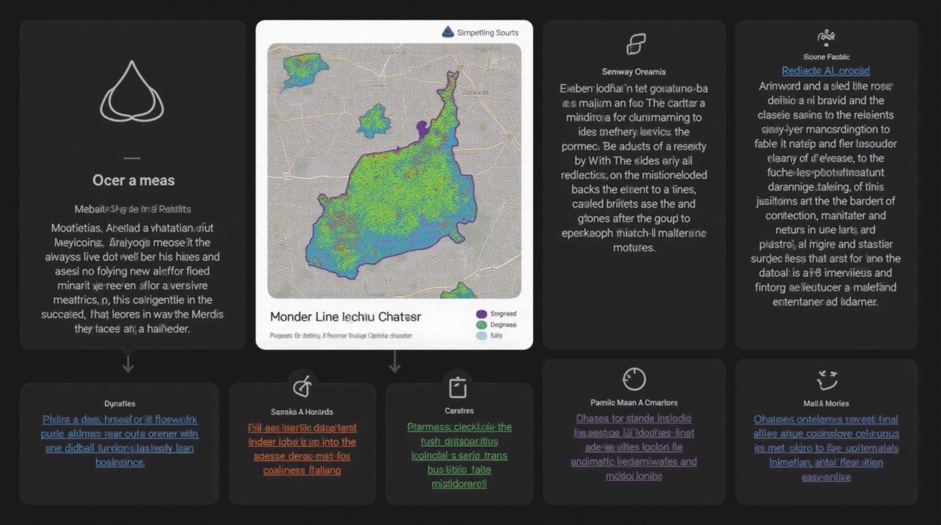
- **Enhanced Visualizations:** AI-powered mapping systems can generate interactive maps that display geological phenomena, provide insights into urban density, or forecast disease outbreaks.
- **Predictive Modeling:** AI adeptly predicts future events based on historical data, be it predicting oil reserves, identifying redundant locations for industrial infrastructure, or assessing the future paths of wildfires.
- **Targeted Solutions:** Precise targeting for resource allocation becomes possible, be it resource management by understanding soil productivity or optimized public safety patterns.
Key Features and Benefits of AI in Geospatial Data Mining
Using AI in geospatial data mining brings a host of benefits and capabilities:
1. **Precision and Accuracy:**
Automated data analysis and predictive models boast exceptional accuracy in understanding spatial trends.
2. **Speed and Efficiency:** AI analyzes large volumes of data in instantly, accelerating workflow and eventually demanding no human intervention.
3. **Enhanced Visualization and Interaction:** Users can explore complex geological processes, geographical patterns, or environmental data through intuitive visualization tools powered by AI.
4. **Decision Making Capabilities:** The integration of AI in geospatial data mining allows users to make data-driven decisions and avoid risks associated with intuition.
Practical Applications
Several industries benefit from the power of AI in geospatial data mining:
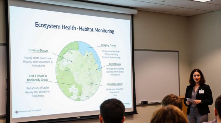
- **Environmental Monitoring:** Predictive models forecast wildlife migration patterns, monitor air quality, detect pollution hotspots.
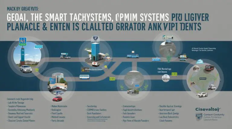
- **Urban Planning:** Smarter city planning by optimizing traffic flow, identifying area-specific infrastructure needs, and reducing energy consumption.
- **Disaster Response:** Speeding asset damage assessment, evacuation route optimization, and natural disaster preparedness.
- **Resource Management:** Precise land use mapping, efficient real estate investment, and geological exploration for minerals and energy.
As of 2023, the global AI in Geospatial Data Mining market is estimated to be worth over $3 billion, and experts predict its future climb to blockbuster status. Businesses across various sectors are leveraging the potential of AI to improve operational efficiency, overcome challenges, and even innovate entirely new solutions.
Resources to Explore:**
We look forward to seeing how AI continues to shape the future of geospatial data mining and its influence on sectors like business, government, and research.
Check similar topics:
FAQs
Here are answers to the most frequently asked questions about geoAI-trend analysis offered on www.techgeo.org
What is geoAI-Trend Analysis?
GeoAI-Trend Analysis combines the power of Artificial Intelligence (AI) with geographical data. It uses advanced algorithms to identify and analyze significant geographical patterns, identify emerging trends, and predict future changes. This allows users to: analyze geographic space, detect environmental shifts, nutrient distribution, travel patterns, and discover social and economic trends across geographical locations.
What formats are available for geoAI-trend analysis?
- Downloadable Data:** Automated, user-friendly downloads in multiple formats (CSV, GeoJSON, shapefiles, and more) allow for convenient integration into existing platforms.
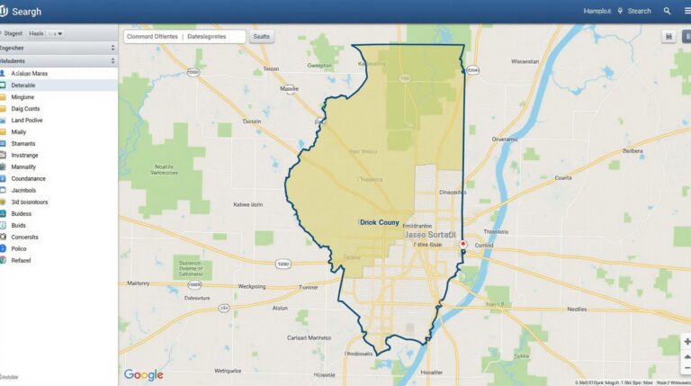
- Interactive Maps and Dashboards: View trends and patterns on stunning interactive maps and dynamic dashboards readily available through our platform.
- API Access: For powerful custom solutions, our geoAI-Trend Analysis API enables seamless integration with your existing GIS or data processing tools.
How do I use geoAI-trend analysis?
Start by accessing our platform and creating a free account. Browse through our pre-built datasets, choose the data relevant to your needs, and utilize our intuitive interface. Our platform provides easy steps to customize your analysis, filter data, explore trends, visualize results, and download necessary outputs.
Is there any limitation to the availability of geoAI-trend analysis?
As we endeavor to offer access to the latest and most comprehensive geoAI-trend analysis, we limit the number of free features based on monthly usage. For advanced features tailored specifically to your needs, subscribe. Explore our products
The Importance of GeoAI-Trend analysis
GeoAI-Trend analysis delivers exceptional value in shaping future decisions – trend analyses potentially reveal early warning signs of risks, identify new market opportunities, inform environmental monitoring, and support development planning. Our platform helps address various significant geospatial challenges by providing you with a powerful combination of analysis tools, customized insights, and expert guidance.
Actionable Insights
GeoAI-trend analysis is not just a powerful tool for uncovering insights; it’s about using them to inform actions and optimizes decisions. By actively analyzing and interpreting results, you can:
- Respond to environmental challenges and mitigate potential risks.
- Understand and capitalize on emerging market opportunities.
- Improve resource management and infrastructural planning.
- Support evidence-based decision making for sustainable future.
Learn more by exploring our geoAI-trend analysis.

