GeoAI for Smart Water Conservation – Usage Monitoring
GeoAI for Smart Water Conservation: How Usage Monitoring Powers Effective Water Management
Water scarcity is a pressing global issue, and conserving this precious resource is paramount. Emerging technologies like GeoAI are revolutionizing our approach to water conservation. GeoAI, or Geospatial Artificial Intelligence, leverages the power of data and machine learning to analyze spatial information and predict patterns. This allows us to optimize our water usage and ensure a sustainable future.
What is Usage Monitoring with GeoAI?
Usage monitoring with GeoAI refers to the process of collecting, analyzing, and interpreting water consumption data from various sources like water meters, sensors installed on infrastructure, and even satellite imagery.
- Data Collection: GeoAI systems can integrate data from various sources, including smart meters, sub-metering devices, and pressure sensors. Devices collect data on freshwater supply, water discharge, flow, and other relevant variables.
- Geospatial Analysis: Powerful algorithms process the acquired data, mapping spatial patterns and identifying variations in water flow and usage on both a localized and generation level.
- Predictive Modeling: Using historical data and weather patterns, GeoAI models go beyond knowing past water usage to predict future needs based on current trends.
Features and Benefits of GeoAI for Smart Water Conservation
GeoAI for smart water conservation offers a multitude of features and benefits that pave the way for more sustainable practices.
- Real-time Monitoring: Enables constant surveillance of water flow, groundwater levels, and leakage points, allowing for early detection and immediate remedial action.
- Leak detection: GeoAI can pinpoint leaks with remarkable accuracy. This information provides valuable insights for repairing infrastructure and reducing water loss.
- Predictive Water Management: The data analysis enables predicting demands, facilitating proactive water allocation and resource management.
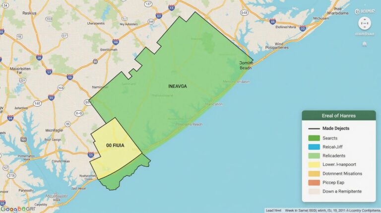
- Hydrological Monitoring: GeoAI aids in studying water flow patterns, identifying sources of pollution, and delineating areas sensitive to drought or water scarcity.
- Cost Reduction: Implementing water conservation measures based on GeoAI insights can reduce water bills, energy usage, and the environmental impact of overuse.
- Targeted Conservation: Enables targeted efforts to alleviate water stress in specific regions, especially in areas facing severe drought conditions.
Real-World Applications of GeoAI In Water Management
The full potential of GeoAI is being increasingly realized in diverse water management settings.
- Smart Irrigation Systems: GeoAI enables optimized irrigation practices, preventing overwatering and utilizing watering resources efficiently.
- Demand Forecasting: Predictive modeling helps water distribution agencies optimize water allocation for industrial demands, prioritizing human populations’ needs.
- Leak Detection & Repair: GeoAI algorithms analyze water-flow patterns and predict leakages in pipelines, raising early warnings for repairs.
Resources for Further Exploration
To delve deeper into the world of GeoAI and its applications in water management, we recommend you explore the following resources:
- **International Water Association (IWA):** [https://www.iwa-network.org/](https://www.iwa-network.org/)
- **GEospatial Research and Development:** [https://www.google.com/search?sbuid=mmcAOzh4lMYEpEgQI2yGlc5oFiAib7QDwC5NptNcA96hJaSVIw3D7mOx2oJyoTYq1yPhclZagf9Ch1VIw3D7mOx2oJyoTF1B7iuuRcGVM-LwY9SdUTVeHhWGal7P4QoBfm7cZZAK-mzsYxhwYAk1_u34pQ_Q1zUdwYeMmLkZGeOdygC7mAaRcZ-DwT2AfV3N5QA&sourceid=chrome&ie=UTF-8](https://www.google.com/search?sbuid=mmcAOzh4lMYEpEgQI2yGlc5oFiAib7QDwC5NptNcA96hJaSVIw3D7mOx2oJyoTF1B7iuuRcGVM-LwY9SdUTVeHhWGal7P4QoBfm7cZZAK-mzsYxhwYAk1_u34pQ_Q1zUdwYeMmLkZGeOdygC7mAaRcZ-DwT2AfV3N5QA&sourceid=chrome&ie=UTF-8)
- **Association for Geographic Information:** [https://www.agi.org/](https://www.agi.org/)
GeoAI represents a critical next step in addressing the increasing urgency of water conservation. By leveraging technology and data-driven insights, we can optimize water usage and build more resilient, sustainable water systems for the future.
Check similar topics:
Frequently Asked Questions
Here are some answers to frequently asked questions about geoai-water-usage-monitoring:
Availability
- Geoai-water-usage-monitoring is available through our platform at www.techgeo.org.
Formats
We support various data formats, including:
- CSV – Commonly used for data sharing and analysis.
- JSON – Provides a more structured representation for data exchange.
Usage
Geoai-water-usage-monitoring empowers you by:
- Assessing and predicting water needs and usage
- Optimizing water infrastructure and distribution
- Identifying water quality issues
- Improving water resource management strategies
Summary and Actionable Insights
Geoai-water-usage-monitoring is crucial in the fight against dwindling freshwater resources. It enables a more sustainable approach to water management by providing actionable insights for optimizing water networks, conservation efforts, and access to clean water for all. Here are some key actionable insights:
- Implement geoai-water-usage-monitoring solutions to increase efficiency and reduce water wastage.
- Leverage data analytics to identify and address underdeveloped water treatment systems.