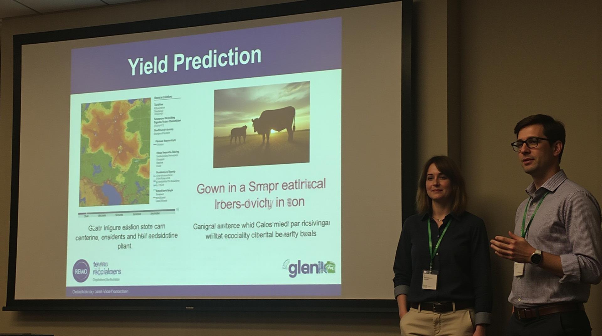
GeoAI for Smart Agriculture – Yield Prediction
GeoAI for Smart Agriculture: Yield Prediction
In a world grappling with the challenges of a booming population and increasing environmental stresses on natural resources, agriculture needs innovative tools to sustain its future. GeoAI, a marrying of Geographic Information Science and Artificial Intelligence, is reshaping the field by offering powerful predictive capabilities for key agricultural benchmarks like yield.
What is GeoAI for Smart Agriculture?
GeoAI leverages the power of AI algorithms, satellite imagery, and ground sensors to analyze vast datasets. This complex tapestry of information, collected from different sources like weather data, soil composition, and historical yield records, allows it to make highly accurate predictions about future crop yields.
Why is Yield Prediction Important?
Yield prediction is pivotal for a more resilient and sustainable agricultural future. Here’s why:
- Efficient Resource Management: By predicting yield, farmers can optimize water, fertilizer, and pesticide usage, minimizing waste and maximizing profits.
- Risk Mitigation: GeoAI detects early signs of pests and diseases for timely intervention, preventing large-scale crop losses and economic damage.
- Strategic Planning: Farmers can plan long-term investments, including land clearing, infrastructure development, and market diversification based on predicted yield.
- Food Security: Predicting yield ensures sufficient food production for a growing population.
How GeoAI Works for Yield Prediction
GeoAI’s flow to predict yield involves several key steps:
- Data Collection: Geospatial data is collected from various sources, including satellite images, sensors, and historical records. This includes information about weather patterns, soil conditions, crop types, and irrigation systems.
- Data Analysis: Machine learning algorithms are used to analyze the collected data and identify patterns relevant to crop growth and yield. Machine learning algorithms are specifically designed to recognize patterns within large datasets which would be impossible for humans to process.
- Prediction Generation: The model uses the learned patterns to make highly accurate predictions about future yields.
- Visualization: The prediction is presented in a user-friendly way through interactive maps and reports.
Key Benefits of GeoAI for Yield Prediction
GeoAI’s success in the field of Agricultural yield prediction comes with a variety of benefits:
- Enhanced Accuracy: Geospatial data and AI algorithms produce more precise and nuanced predictions.
- Data-Driven Decisions: Predictions underpin data-driven farming decisions, maximizing efficiency and profitability.
- Reduced Costs and Risks: Optimized resource management cuts down on waste and minimizes post-harvest losses.
- Improved Sustainability: GeoAI helps farmers make informed decisions about land usage and resource management, promoting more sustainable agriculture.
- Competitive Advantage: GeoAI empowers farmers to operate strategically, staying ahead of market trends and opportunities.
Practical Applications of GeoAI for Agriculture
GeoAI is already being deployed across a spectrum of applications in Agriculture, ranging from field-specific mapping to national-scale analysis:
- Precision Farming: Providing an unprecedented level of detail about individual fields. This allows for targeted application of fertilizers, pesticides, and water.
- Crop Insurance: GeoAI algorithms permit the assessment of agricultural risks relative to climate features like rainfall, temperature, and soil moisture, leading to more effective loss mitigation initiatives.
- Market Intelligence: GeoAI supports businesses to better understand market trends, crop demands, and price fluctuations to make more informed pricing and supply decisions.
- Sustainable Land-Use Management: Predicting crop yields can help in monitoring soil improvement and implementing environmentally friendly farming practices.
Resources for Exploring GeoAI in Agriculture
Investing in data is key to success so that you can effectively leverage GeoAI for Yield Prediction.
- Online Communities: Join forums, discussion groups, and online communities to connect with experts and share best practices.
- Research papers: Explore cutting-edge research advancements in GeoAI. Identify prominent publications and links to related research via Google Scholar.
- Startups and Technology Provider’s websites: Check out websites of leading solutions providers like GoogleAI, Microsoft Azure, IBM Watson for agriculture solutions as well as emerging agricultural innovation startups.
Check similar topics:
Here’s an example of an FAQ section for geoAI-yield prediction, following your guidelines:
“`html
GeoAI Yield Prediction FAQs
We understand that you have questions about our geoAI-yield prediction platform. This FAQ section aims to clarify key aspects of its availability, formats, usage, and more.
What is GeoAI Yield Prediction?
GeoAI Yield prediction is a powerful tool that leverages artificial intelligence to forecast crop yields by integrating satellite imagery, climate data, and socioeconomic factors. It’s designed for agricultural decision-making, contributing to optimal resource allocation and maximizing farm profitability.
What Is the Availability of GeoAI Yield Prediction?
The GeoAI Yield Prediction service can be accessed via the www.techgeo.org website. The platform provides an expansive user experience for farmers, researchers, and industry professionals.
Where Can I Find More Information?
Visit our helpful resources and documentation:
- Learn More – Get insights into the benefits, and explore common use cases
- Visit the documentation for detailed guides on utilizing the platform
How do I Purchase GeoAI Yield Prediction?
Our pricing is designed to be accessible for all. Visit our pricing page to find the details tailored to your needs and budget.
What Data Formats Does GeoAI Yield Prediction Utilize?
We process various data formats including:
- Sentinel-2 Satellite imagery – Highly popular for agricultural applications
- Climate data from historical sources – Standard weather conditions information
- Socioeconomic forecasts – Farm production trends and forecasts
Can I Integrate GeoAI Yield Prediction with My Current Systems?
We encourage the seamless integration of our platform. Contact us to elaborate on specific system compatibility
What Can I Expect From Using GeoAI Yield Prediction?
Here are some general benefits:
- Improved crop yield prediction accuracy
- Informed and timely resource management decisions
- Reduced financial risks associated with agricultural activities
Conclusion
Utilizing geoAI Yield Prediction empowers agricultural decision-making by offering dynamic predictive insights and real-time analysis. Discover new levels of profitability and sustainable farming practices!

