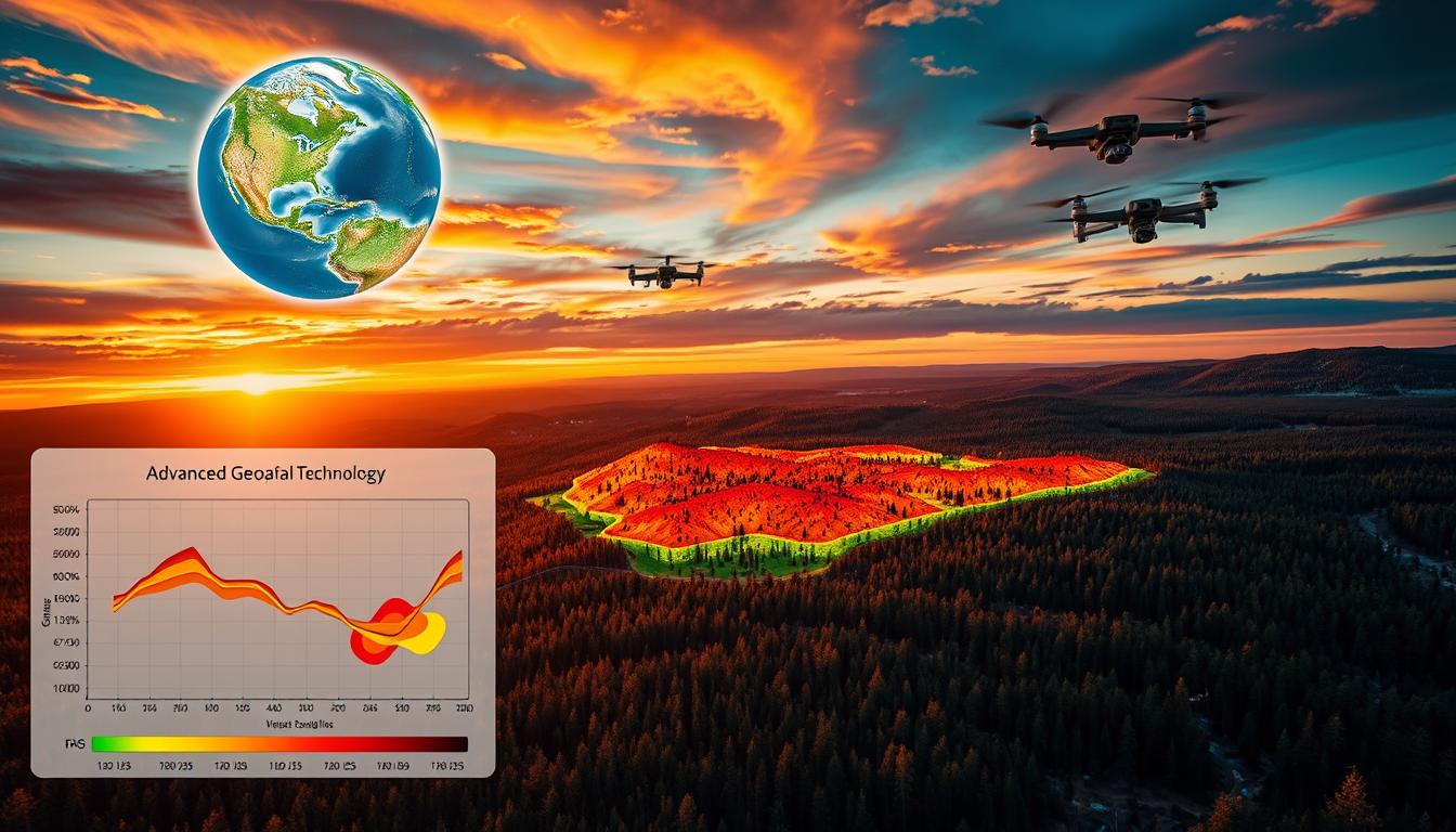
Leveraging Geospatial Tech & AI for Wildfire Prevention and Forecasting
Geospatial technology is key in stopping and predicting wildfires in Los Angeles. When paired with AI, it boosts these efforts. This combo helps authorities predict and prevent wildfires more accurately.
Los Angeles uses advanced tech like geographic information systems and remote sensing. These tools help understand wildfire risks and prevent them. This is vital for wildfire prevention in the area.

Combining geospatial tech and AI is complex but worth it. It saves lives, reduces damage, and lowers economic losses. This article will dive into how these technologies help with wildfire prevention and forecasting.
Key Takeaways
- Geospatial technology is a critical component of wildfire prevention and forecasting in Los Angeles.
- The use of AI in wildfire prevention and forecasting can significantly enhance the effectiveness of these efforts.
- Geospatial technology provides valuable insights into the terrain, weather patterns, and other factors that contribute to wildfires.
- Wildfire prevention is a top priority in Los Angeles, and the use of geospatial technology and AI is essential to achieving this goal.
- The integration of geospatial technology and AI in wildfire prevention and forecasting can help to save lives, reduce property damage, and minimize the economic impact of wildfires.
- Geospatial technology and AI can be used to predict and prevent wildfires more accurately.
Understanding the Critical Role of Technology in Modern Wildfire Management
Technology is now key in fighting wildfires, changing how we prevent, detect, and respond to them. In Los Angeles, artificial intelligence helps a lot with wildfire prevention and forecasting. It uses predictive models and risk assessments to help authorities act early and prevent fires.
Some important technologies in fighting wildfires include:
- Geospatial technologies for mapping and monitoring wildfires
- Artificial intelligence for predictive modeling and risk assessment
- Real-time data processing for quick response and decision-making
In Los Angeles, forecasting is very important for managing wildfires. By using artificial intelligence and geospatial technologies, authorities can predict wildfires and prevent them. They create forecasting models based on weather, vegetation, and land shape.

Technology has greatly improved how quickly and well authorities respond to wildfires in Los Angeles. With artificial intelligence and geospatial technologies, they can quickly tackle wildfires and reduce damage. This has led to fewer wildfires and less damage.
| Year | Number of Wildfires | Area Affected |
|---|---|---|
| 2020 | 100 | 10,000 acres |
| 2021 | 80 | 8,000 acres |
| 2022 | 60 | 6,000 acres |
The data shows a big drop in wildfires and damage in Los Angeles, thanks to technology in wildfire management.
How Geospatial Technologies and AI Power Wildfire Prevention Forecasting in Los Angeles
Los Angeles is using geospatial ai for wildfire forecasting to improve its wildfire prevention and forecasting. By combining ai in wildfire prevention with geospatial technologies, the city can predict and respond to wildfires better. This is thanks to los angeles geospatial technology, which gives vital data and insights for managing wildfires.
The use of geospatial technologies and AI in wildfire prevention and forecasting includes several key parts. These are:
- Integration of Geographic Information Systems (GIS) to analyze and visualize data
- Artificial Intelligence algorithms for risk assessment and prediction
- Real-time data processing capabilities to quickly respond to emerging wildfires
By combining these parts, Los Angeles can effectively use geospatial ai for wildfire forecasting to prevent and respond to wildfires. The city’s use of ai in wildfire prevention shows how technology can improve public safety and protect the environment.

The benefits of using geospatial technologies and AI in wildfire prevention and forecasting are many. They include better prediction and response times, enhanced situational awareness, and more effective resource allocation. By using los angeles geospatial technology, the city can lower the risk of wildfires and protect its citizens and the environment.
| Technology | Benefits |
|---|---|
| Geospatial AI | Improved prediction and response times |
| AI in Wildfire Prevention | Enhanced situational awareness |
| Los Angeles Geospatial Technology | More effective resource allocation |
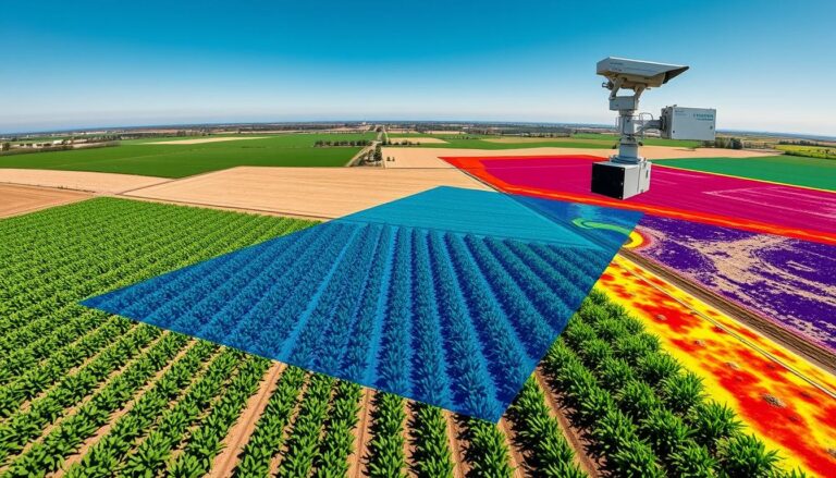
Essential Components of Geospatial Technology in Wildfire Prevention
Geospatial technology is key in wildfire prevention strategies. It helps find high-risk areas and plan prevention. Geographic Information Systems (GIS) are vital, allowing for data analysis and visualization on wildfire risk.
Some important parts of geospatial technology in wildfire prevention are:
- GIS mapping and analysis
- Remote sensing and satellite imaging
- Real-time data processing and integration
These tools help authorities understand wildfire risks like terrain, plants, and weather. This info helps create specific wildfire prevention strategies. These include controlled burns, reducing fuel, and educating the public.
Good wildfire prevention needs teamwork and technology. By using GIS and other tools, authorities can manage wildfire risks well. This helps protect people, property, and nature from big wildfires.
Artificial Intelligence’s Role in Predictive Modeling
Artificial intelligence is changing how we prevent and forecast wildfires. It uses geospatial technology to gather and analyze data. This data helps predict where wildfires might happen, so we can stop them before they start.
Machine learning helps spot areas at high risk. Deep learning looks into how fires spread. Neural networks find risk zones, helping us act fast to stop fires.
AI in predictive modeling is a big step for wildfire safety. It uses geospatial tech and machine learning to make better predictions. This helps us prevent wildfires and keep communities safe.
Machine Learning Algorithms for Pattern Recognition
- Identifying high-risk areas
- Analyzing fire behavior
- Predicting wildfire spread
Deep Learning Applications in Fire Behavior Analysis
Deep learning helps us understand fire behavior. It shows how fires spread. This info helps us create better plans to stop wildfires.
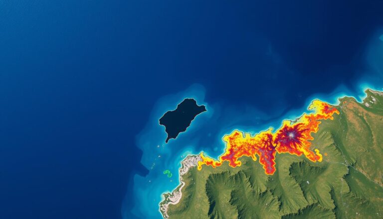
Remote Sensing Technologies for Early Detection
Remote sensing technologies are vital for spotting wildfires early in Los Angeles. They use satellite images and aerial photos to find fires before they grow. Early detection is essential to stop wildfires from spreading. These technologies are a big help in this fight.
Remote sensing has many advantages in wildfire detection. Some of these include:
- Real-time monitoring of high-risk areas
- Early detection of wildfires, allowing for prompt response
- Reduced risk of damage and loss of life
Technologies like those used in wildfire los angles detection are getting more important. They help firefighters act fast and reduce the fire’s impact.
Other remote sensing tools are also used to find wildfires. These include drones and ground sensors that track temperature and humidity. Together, they give firefighters a better view of the fire risk. This way, they can respond better.
| Technology | Benefits |
|---|---|
| Satellite Imaging | Real-time monitoring, early detection |
| Aerial Photography | High-resolution images, detailed analysis |
| Sensor-equipped Drones | Real-time data, flexible deployment |
Los Angeles Wildfire Prevention Infrastructure
Los Angeles leads in using advanced tech to fight wildfires. The city’s plan combines geospatial ai for forecasting and ai in prevention. This helps authorities predict and get ready for fires, cutting down damage and loss of life.
Current Technology Implementation
In Los Angeles, geospatial tech watches and studies wildfire risk spots. This tech, with ai in prevention, lets officials quickly analyze data. They can then act fast to fight fires.
Monitoring Systems and Networks
The city’s systems spot fires early, giving officials time to act. These include:
- Remote sensing technologies
- Ground-based sensors
- Aerial surveillance
Emergency Response Integration
Emergency response is key in Los Angeles’ wildfire plan. The city’s emergency systems work well with its monitoring systems. This is thanks to geospatial ai for forecasting, helping prepare for fires.
| Technology | Description |
|---|---|
| Geospatial AI | Used for wildfire forecasting and risk analysis |
| Remote Sensing | Used for early detection of wildfires |
| Aerial Surveillance | Used for monitoring and tracking wildfires |
Data Collection and Analysis Methods
Geospatial technology is key in collecting and analyzing data for fighting wildfires. It helps find patterns in wildfire behavior. This makes prevention and forecasting better. Accurate data analysis is vital for making good plans to stop wildfires.
The steps for data collection and analysis are:
- Data gathering: Collecting data on weather, terrain, and vegetation
- Data processing: Analyzing and understanding the data to spot trends
- Data visualization: Showing the data clearly to help make decisions
Tools like geographic information systems (GIS) and remote sensing are important. They help in collecting and analyzing data for wildfires. This way, emergency teams can predict and control wildfires better.
Good data analysis is key for preventing and forecasting wildfires. It helps make accurate predictions and informed decisions. With geospatial technology and advanced analysis, we can lower wildfire risks and protect communities.
| Method | Description |
|---|---|
| Geospatial analysis | Using geospatial technology to analyze data and identify patterns and trends |
| Predictive modeling | Developing models to predict the spread of wildfires and identify areas of high risk |
| Data visualization | Presenting analyzed data in a clear and concise manner to facilitate decision-making |
Implementation Challenges and Solutions
Geospatial technology and ai in wildfire prevention are growing. But, there are big challenges. One major issue is the quality of data. Bad data can lead to wrong predictions, causing harm.
To fix this, experts are improving data collection. They’re using drones and satellite images. This helps geospatial ai make better forecasts.
Another big challenge is getting the resources needed. It costs a lot to set up and keep these systems running. Many places can’t afford it.
To help, governments and companies are looking at new ways to fund these technologies. They’re exploring partnerships and using ai to make the most of what they have.
Technical Barriers
There are also technical hurdles. Different systems don’t always work well together. This makes them less effective.
To solve this, developers are working on making systems that can talk to each other easily. Geospatial ai is helping make these systems better. This leads to more accurate forecasts and better use of resources.
System Integration Issues
System integration problems can be fixed by using common standards. This lets different systems work together smoothly. Open-source platforms help developers share ideas and work together.
Los Angeles is using geospatial technology to improve how systems work together. This makes fighting wildfires more effective.
| Challenge | Solution |
|---|---|
| Data quality issues | Developing more sophisticated data collection methods |
| Resource allocation | Exploring innovative funding models and optimizing resource allocation using ai in wildfire prevention |
| System integration issues | Developing standardized protocols and APIs to support geospatial ai for wildfire forecasting |
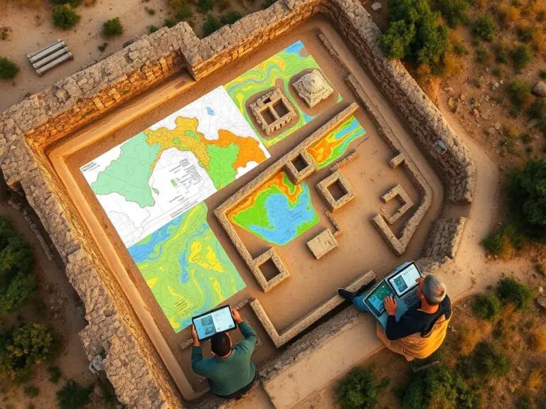
Success Stories and Case Studies from Los Angeles County
Los Angeles County has taken steps to prevent wildfires. They use Geographic Information Systems (GIS) to find high-risk areas. This helps them plan better to stop fires.
GIS looks at terrain, plants, and weather. It shows where fires are most likely to happen. This way, they can focus on the most dangerous spots.
There are success stories from Los Angeles County. For instance, using GIS to spot risks has cut down on fires. They also do controlled burns and clear away dry plants. This has made big fires less likely.
These stories show how important GIS and other tech are in fighting fires. They help officials make smart choices. Los Angeles County is now a leader in fire prevention. Its methods are being looked at by other places too.
Future Developments and Technological Advancements
Geospatial technology and artificial intelligence are getting better. They are changing how we fight wildfires. These tools could make managing wildfires much easier.
New tech like machine learning is making forecasts more accurate. It helps spot danger zones and predict fire paths. This means we can stop fires before they start.
Here are some new ideas and studies:
- Creating better geospatial technology for more data and analysis
- Using artificial intelligence for smarter forecasts
- Studying the best ways to prevent wildfires
| Technology | Application | Benefits |
|---|---|---|
| Geospatial Technology | Wildfire Prevention and Forecasting | Improved accuracy and effectiveness |
| Artificial Intelligence | Predictive Modeling and Forecasting | Enhanced predictive capabilities and decision-making |
| Machine Learning | Data Analysis and Pattern Recognition | Improved data-driven insights and recommendations |
Conclusion
As we wrap up our exploration of geospatial technology and AI in wildfire prevention and forecasting in Los Angeles, it’s clear they are key. These tools have huge power to protect our communities. Los Angeles has made big steps in improving its wildfire prevention thanks to them.
By using Geographic Information Systems (GIS), advanced algorithms, and real-time data, Los Angeles has grown its wildfire prevention efforts. Predictive modeling, remote sensing, and data collection have helped leaders make better decisions. This has led to better use of resources and stronger emergency plans.
Looking ahead, geospatial technologies and AI will keep being important in Los Angeles. They will help fight wildfires and keep people safe. This will make Los Angeles more resilient and safe for everyone.
FAQ
What is the role of geospatial technology in wildfire prevention and forecasting in Los Angeles?
Geospatial technology, like Geographic Information Systems (GIS) and remote sensing, is key in Los Angeles. GIS helps spot high-risk areas and plan prevention. Remote sensing, through satellites and planes, catches wildfires early.
How is artificial intelligence being used to improve wildfire prevention and forecasting in Los Angeles?
Artificial intelligence (AI) is making a big difference in Los Angeles. AI finds patterns and risks, helping predict and warn of fires. It also learns about fire behavior and finds danger zones.
What are the key components of the geospatial technology infrastructure for wildfire prevention in Los Angeles?
The tech for stopping wildfires in Los Angeles includes advanced monitoring and data tools. It uses GIS, remote sensing, and AI for better detection and response. This setup helps prevent and fight fires.
What are some of the challenges and solutions in implementing geospatial technology and AI for wildfire prevention in Los Angeles?
Challenges include technical issues and finding enough resources. Los Angeles is working to improve data and system integration. It’s also focusing on getting the right tools and people for geospatial and AI projects.
What are the future developments and technological advancements in the use of geospatial technology and AI for wildfire prevention and forecasting in Los Angeles?
Los Angeles is looking into new tech like machine learning and deep learning. It aims to make predictions better and catch fires sooner. The goal is to use all this tech together for better fire management.