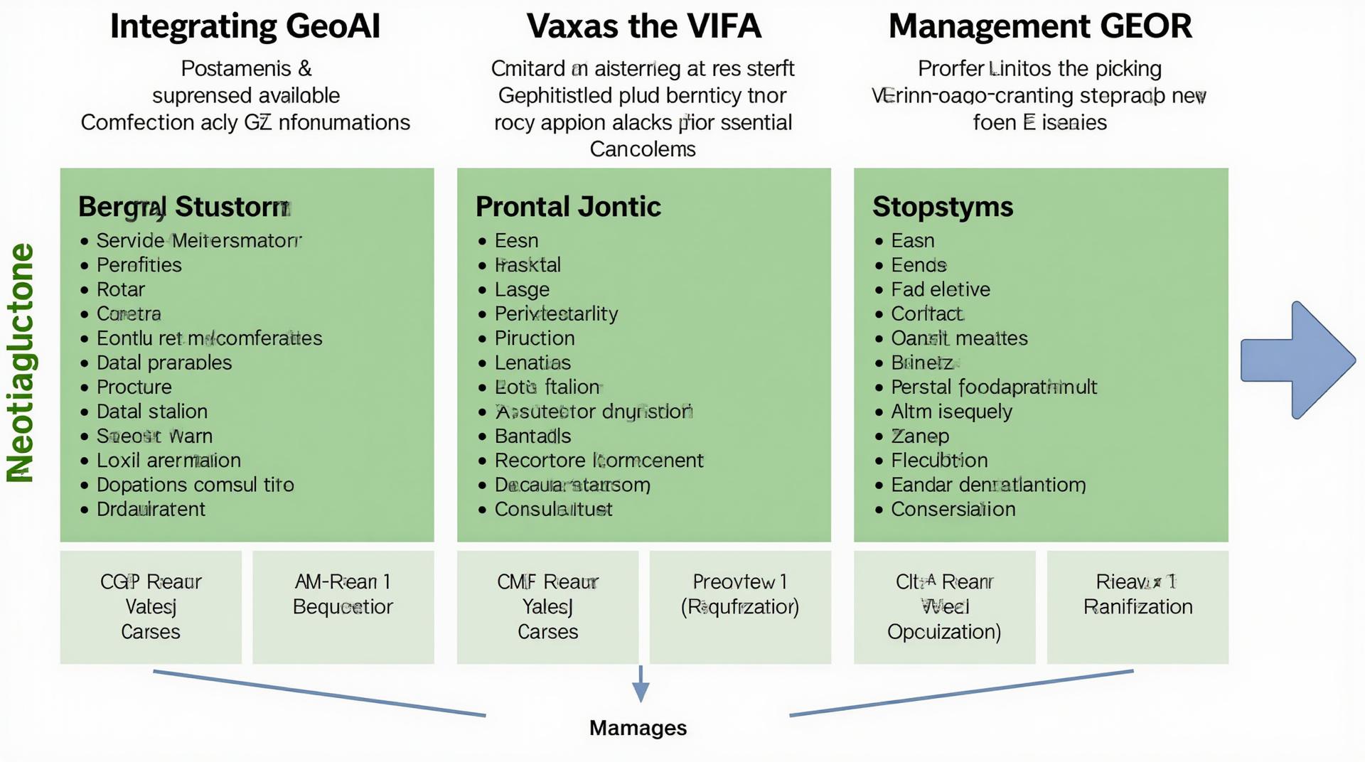
Integrating GeoAI into GIS for Enhanced Analysis – Data Layers
Integrating GeoAI into GIS for Enhanced Analysis: Data Layers
The Future of Spatial Intelligence
Data is the lifeblood of modern decision-making, and never has it been more apparent in the realm of spatial analysis. Thankfully, Geospatial Artificial Intelligence (GeoAI) is transforming how we analyze data georeferenced on Earth’s surface. This blog post explores the world of GeoAI, the critical role it plays within Geographic Information Systems (GIS), and how its potential can be unleashed using data layers.
### What is GeoAI?
GeoAI blends the power of artificial intelligence with geographical data processing. It’s not just about machines; GeoAI is about using sophisticated algorithms to analyze spatial patterns, predict trends, and make informed choices based on location information.
**Key Features:**
* **Pattern Recognition:** GeoAI algorithms excel at identifying complex spatial patterns and relationships, whether it’s detecting cluster formation, analyzing disease outbreaks, or mapping accessibility challenges.
* **Predictive Modeling:** Through complex mathematical relationships, GeoAI models can predict future events, such as flood risks, economic performance, or the spread of a virus.
* **Automated Analysis:** GeoAI automates tedious tasks like data cleaning and processing, freeing up GIS professionals to focus on more complex and critical analysis.
* **Enhanced Visualization:** Geographic data visualization becomes more intuitive and insightful with GeoAI, potentially leading to better understanding of complex patterns.
### How GeoAI Elevates GIS
GIS is already the leading data and location-based analysis platform. However, the integration of GeoAI takes GIS analytics to the next level with these significant benefits:
* **Improved Accuracy:** GeoAI algorithms can automate data validation and analysis, discovering patterns hidden within cluttered geospatial grids, leading to more accurate inferences.
* **Advanced Decision Support:** GeoAI empowers users to make data-driven decisions by generating actionable insights that are difficult or risky to obtain without its power.
* **Enhanced Insight:** GeoAI analyzes vast amounts of spatial data, revealing hidden connections and relationships between geographic features that are difficult for the human eye to detect.
* **New Applications:** GeoAI opens the door to previously unimaginable spatial applications, including climate change modeling and wildfire prediction.
Practical Applications of GeoAI
GeoAI is transforming industries across sectors, including:
* **Environmental Protection:**
* **Climate Change Impact Analysis:** Using climate modeling tools, predict the potential impact of rising temperatures on different areas.
* **Pollution Monitoring:** Tracking the distribution of pollutants in real-time using satellite imagery and predicting future pollution hotspots.
* **Disaster Response and Recovery:**
* **Emergency Management:** Predicting and mitigating the impact of disasters, providing faster response times.
* **Humanitarian Aid Distribution:** Optimizing the allocation of resources and ensuring efficient delivery of emergency supplies.
* **Urban Planning and Infrastructure:**
* **Traffic Flow Optimization:** Utilizing AI models to simulate traffic patterns and predict congestion patterns.
* **Smart City Development:** Implementing intelligent infrastructure solutions like efficient energy distribution and waste management through AI-informed maps.
* **Healthcare:**
* **Disease Outbreak Prediction:** Identifying high-risk areas and disseminating timely warnings about disease outbreaks.
* **Hospital Resource Management:** Optimizing the allocation of resources based on real-time patient data and conditions.
**Data Layers: The Foundation for GeoAI Success**
Data is the lifeblood of GeoAI, and data layers are the essential building blocks for seamlessly integrating AI and GIS.
A core component of GeoAI, data layers provide a layered structure by bringing together:
* **Raster Data:** A grid like format with value attributes found across multiple geographical coordinates.
* **Vector Data:** A collection of points, lines, or areas, aiding visualization through GIS.
These data layers can be combined with GeoAI algorithms to create a comprehensive view of space, allowing more accurate data analysis and practical decision making.
### Getting Started with GeoAI
The world of GeoAI is full of exciting possibilities, and the accessibility of GeoAI tools and software is rapidly improving.
**Here are some recommended steps to get started:**
1. **Choose your tools**: A fascinating new set of tools is being created just for GeoAI tasks – from geospatial analyst tools like QGIS and FME to cloud-based platforms such as Google Earth Engine.
2. **Explore interesting platforms**: Platforms like Planet, Sentinel Hub, IBM Watson Studio and ArcGIS are offering key insights into the ever-evolving world of GeoAI.
3. **Online Courses & Resources**: Take advantage of online courses and resources to learn about various GeoAI applications and consider the great open-source tools such as TensorFlow and Keras.
### Conclusion
Integrate GeoAI into GIS for enhanced analysis using data layers— this be a powerful tool for understanding the complex geometries of our world, driving innovative insights, and making more informed decisions that will shape the future.
Let us know what you think in the comments below and share your thoughts on how you plan to harness the power of GeoAI!
## Integrating GeoAI into GIS-Enhanced Analysis: FAQs
Frequent questions often arise when implementing GeoAI into a GIS framework. These FAQs aim to provide clarity and address common concerns, allowing users to seamlessly enhance their GIS analysis with the power of GeoAI.
### What is GeoAI?
GeoAI, short for geospatial artificial intelligence, leverages the processing power of AI techniques to analyze and interpret geospatial data. This opens doors to advanced applications, including predictive modeling, automated analysis, and data-driven decision-making in various fields. Learn more about geospatial artificial intelligence.
### How Do I Integrate GeoAI into My GIS Environment?
Integrating GeoAI into a GIS system can be as straightforward as selecting a suitable platform and leveraginge its capabilities. Here’s a breakdown of key aspects:
* **Choice of Platforms:** There is no single “best” platform, as the most suitable platform depends on your specific needs, data size, processing capacity, and budget.
* **Commercial Platforms:** Solutions like Esri’s ArcGIS platform, QGIS plugins, and Google Earth Engine provide robust functionalities through cloud or on-premise deployments.
* **Open-source Libraries:** Libraries like TensorFlow, PyTorch, and GDAL enable customizability but might require technical skillset.
* **Data Preparation:** Ensure your GIS data (raster, vector, multi-sensor) is properly structured, and consider using cloud platforms for scalable storage.
* **Select AI Techniques:** A wide range of GeoAI algorithms are available for tasks like object detection, classification, prediction, and anomaly detection. Choose the technique best suited for your analysis needs.
* **Customized Solutions:** Several companies offer specialized GeoAI services, allowing you to leverage AI for specific needs like land cover mapping or urban planning.
**Available Tools and Resources:**
* [Esri GeoAI & Machine Learning](https://www.esri.com/en-ca/industries/government/products/machine-learning)
* [QGIS Plugin: GeoAI](
### Availability
GeoAI platforms and tools are available as cloud-based services, on-premise software, or as library packages.
* **Cloud Services:** Platforms like Google Colab and Amazon SageMaker offer access to sophisticated processing power and ready-made AI models.
* **Open Source Libraries:** Tools like TensorFlow Lite and ONNX Runtime make it possible to develop easy-to-use AI applications, including embedded models for resource-limited environments.
### Formats
Where to give your data for analysis:
* **Geospatial Formats:** Most GeoAI platforms work seamlessly with common file formats like GeoTIFF, GeoJSON, and GeoPackage.
### Who Can Benefit from GeoAI in GIS?
Integrating GeoAI into GIS analysis potentially offers numerous benefits across various sectors:
* **Urban Planning:** Predicting traffic patterns, optimizing infrastructure development, assessing property values.
* **Environmental Management:** Tracking deforestation/habitat loss, identifying areas for invasive species mitigation, predicting erosion patterns.
* **Disaster Response:** Real-time hazard mapping, damage assessment, and emergency support area planning.
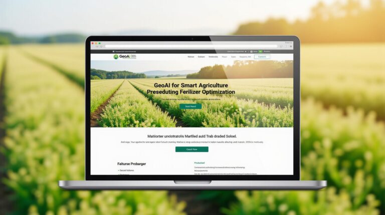
* **Agriculture:** Predicting yield, optimizing water usage, supporting precision farming practices
* **Scientific Research:** Analyzing geological data, resource exploration, tracking contaminations.
### Actionable Insights
Integrating GeoAI into GIS-enhanced analysis unlocks a trove of opportunities. Here’s a call to action:
* **Start experimenting:** Trial small-scale projects with readily available GeoAI tools and datasets to understand your initial potential.
* **Choose the right technology:** Consider your budget, volume of data, and required analytical capabilities when selecting the appropriate platform.
* **Cultivate AI Skills:** Develop and deepen your understanding of AI techniques for responsible and efficient implementation.
### Conclusion
Understanding the evolving landscape of GeoAI and by leveraging advanced algorithms within GIS, we can unlock futuristic applications that enhance spatial data understanding and drive decision-making. Integrate GeoAI into your workflow and explore the diverse applications available, and propel your organization towards a more data-driven future.