AI in Geospatial Data Interpolation – Spatial Prediction
AI in Geospatial Data Interpolation – Spatial Prediction
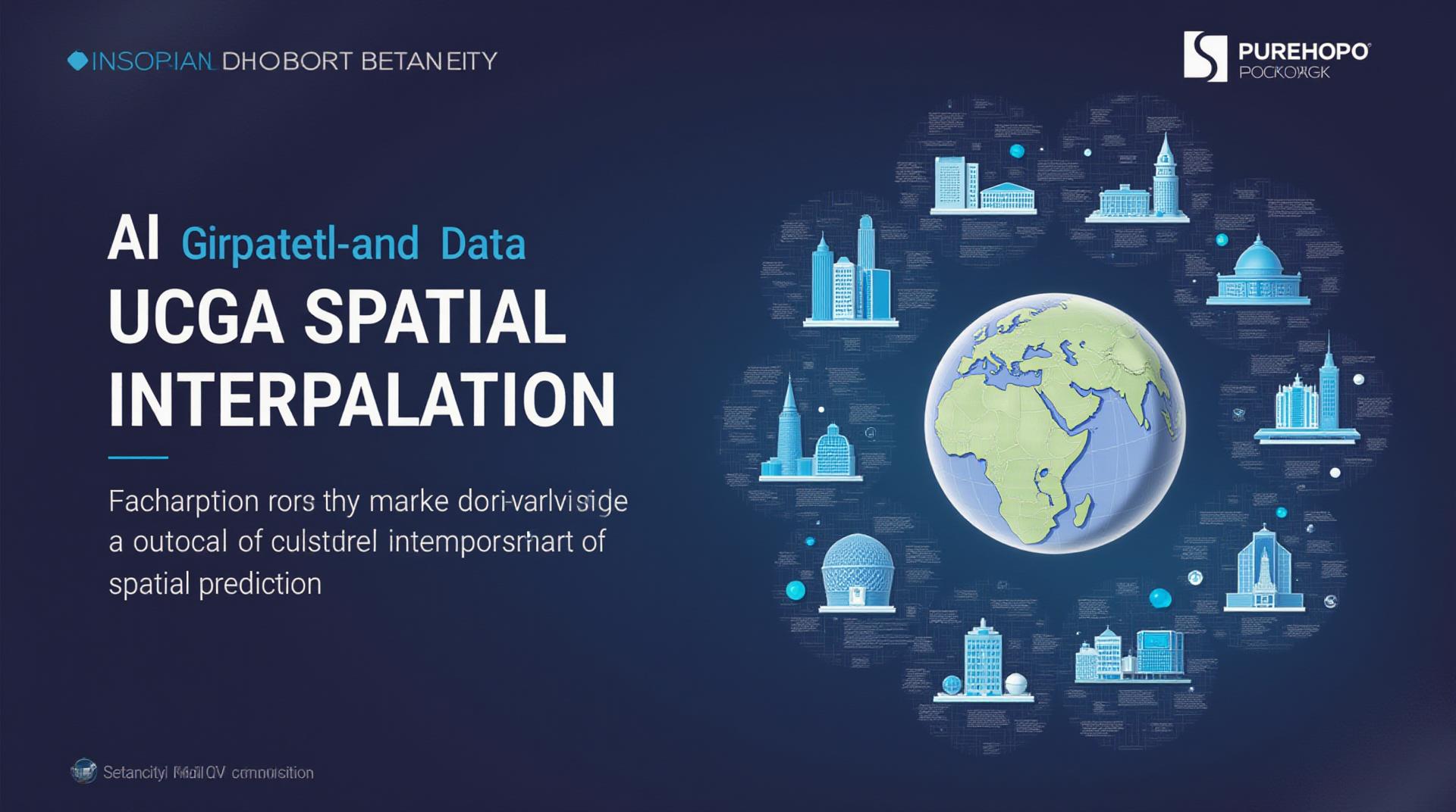
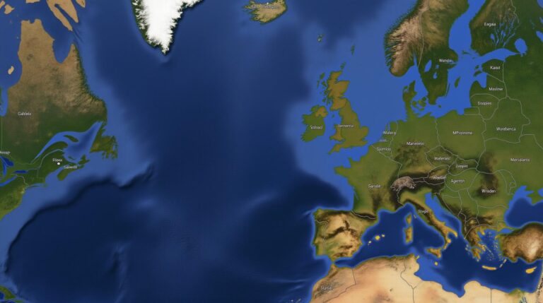
In the age of vast geospatial data, understanding and predicting patterns in remote sensing, satellite imagery, and geographic maps is crucial. Geospatial data interpolation provides this crucial gap by filling in missing data using advanced algorithms. Artificial Intelligence (AI)** is revolutionizing this field, leading to faster, more accurate, and computationally efficient prediction models.
What is Geospatial Data Interpolation?
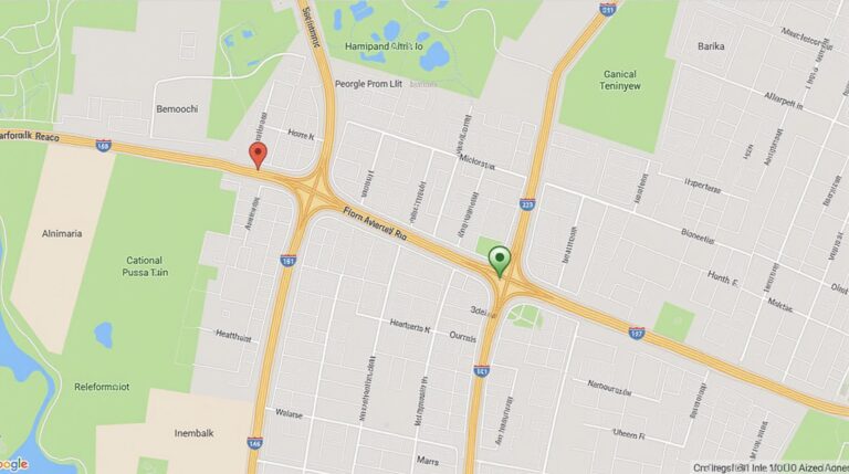
Geospatial data interpolation is a technique used to estimate missing data points within a set of spatially referenced data points. This involves analyzing space-temporal relationships and, with sophisticated algorithms like kriging, suggesting educated guesses for values in the unknown space. Crowdsourced geolocation data can be corrected for the distance between each data point and provide a more reliable map or figure.
Why is AI Emerging as a Game-Changer?
Traditional interpolation methods often face limitations, such as:
- Susceptibility to noisy data and limitations
- Slow inference times, especially for large datasets
- Difficulty in handling complex spatial relationships
AI, specifically machine learning algorithms, offer a significant improvement.
- The ability to identify patterns and features that traditional methods miss.
- Faster processing speeds and efficiency.
- Increased robustness against noisy and incomplete data sets.
AI for Geospatial Data Interpolation: Key Features and Techniques
Several techniques are utilized in conjunction with AI for geospatial data interpolation:
- Artificial Neural Networks (ANNs): Powerful algorithms capable of learning complex spatial relationships from vast datasets, ultimately enhancing prediction accuracy.
- Support Vector Machines (SVMs): Often used for classification tasks, SVMs can be adapted for interpolation through kernel functions to efficiently classify and predict associated parameters in an unknown shape.
- Convolutional Neural Networks (CNNs): Extremely well-suited for learning spatial patterns in geospatial data, acting as image processing tools for images such as satellite imagery to predict missing areas.
Benefits of Using AI in Geospatial Interpolation
The applications of AI in geospatial data interpolation present numerous advantages:
- **Improved Accuracy:** AI models can provide highly accurate predictions even with complex environmental data, benefiting decision-making and resource management.
- **Increased Speed:** AI algorithms can efficiently process large datasets, leading to significantly faster prediction times.
- **Advanced Predictions:** AI excels in handling complex datasets with spatial, temporal and non-linear relationships, enabling accurate predictions for unpredictable events.
- **Real-time Applications:** AI – enabled interpolation allows for real-time updates when using large collections of data in a changing environment.
Practical Applications of AI in Geospatial Data Interpolation
The applications of AI in geospatial interpolation are ever-expanding, opening doors to numerous practical uses
- Climate Change Modeling:** Exploring climate change patterns and their impact on various natural systems.
- Disaster Management:** Predicting and mitigating the impacts of natural disturbances like floods, earthquakes, or snowfalls for efficient resource allocation.
- Forest Management:** Monitoring forest health, assessing risk of wildfires, and optimizing land use practices.
- Urban Planning:** Optimizing transportation, infrastructure development, and resource allocation for city environments.
- Agriculture:**Improving yield prediction and resource allocation for target crops.
Resources and Further Learning
To delve deeper into the world of AI in GeoAI:
- Google AI Hub: https://aihub.dev/geospatial?category=Machine%20Learning/
- **Oasis Engineering: ** https://www.oasisgeo.com/solutions/geospatial-forecasting/
- **Coursera Machine Learning course by Google – ** https://www.coursera.org/specializations/machine-learning
AI is revolutionising how we understand and predict patterns in our world, particularly in geospatial novelty. By integrating state-of-the-art AI models, we can more accurately predict missing data points, analyzing vast geospatial databases with improved efficiency and accuracy for broader and more varied scenarios.
Check similar topics:
GeoAI-Spatial Prediction: Frequently Asked Questions
This FAQ section covers common concerns about GeoAI-spatial predictions. For more information, please visit www.techgeo.org or browse the documentation at docs
What is GeoAI-Spatial Prediction?
GeoAI-Spatial Prediction is a powerful technology that leverages artificial intelligence to analyze spatial data and predict future events or trends. This empowers anyone, from business analysts to policymakers, to leverage data to make smarter and more informed decisions.
Availability
GeoAI-Spatial Prediction is currently available on our platform. Different subscription plans offer varying access levels and functionalities.
Formats
- Available Formats: GeoAI-spatial prediction supports the usual data formats like CSV, JSON, Shapefiles, and more. The specifics are detailed in our documentation.
- Data Preparation: You can easily prepare your dataset for GeoAI-spatial prediction with our in-built data cleaning, pre-processing, and transformation tools
Usage
GeoAI-Spatial prediction has various applications. Here are a few examples:
- Predicting Urban Sprawl: Identify areas of rapid development.
- Optimizing Supply Chain Logistics: Predict regional trends and optimize distribution networks to ensure efficient delivery.
- Financial Forecasting: Predict property values, asset risks, and economic patterns.
- Disaster Preparedness: Forecast potential natural disaster zones to enhance response mechanisms.
What are the Benefits of GeoAI-Spatial Prediction?
GeoAI-spatial prediction offers numerous benefits:
- Improved Accuracy: AI-powered insights bolster predictive accuracy to fuel informed decisions.
- Data-Driven Insights: Uncover hidden patterns and trends in complex spatial datasets.
- Personalized Actions: Tailor solutions to specific needs with precise, location-based predictions.
- Enhanced Efficiency: Accelerate planning, resource allocation, and preventive measures.
Ultimately, GeoAI-spatial prediction plays a vital role in various industries, empowering businesses and policymakers to make smarter decisions and shape a better future. Considering our growing reliance on data, leveraging AI for spatial intelligence is indispensable for a richer, more dynamic, and more adaptable world.

