Henderson County GIS: Unlocking Local Insights
Henderson County GIS: Unlocking Local Insights
Henderson County, with its diverse landscapes, robust community, and rich history, is home to a wealth of valuable insights hidden within its geographic boundaries. This blog post explores the power of Geographic Information Systems (GIS) to unlock these insights, providing tools and resources to empower you, whether you’re a resident, a business owner, or a researcher.
What is GIS and How Does it Benefit Henderson County?
GIS is like a powerful map tool that turns raw geographical data into meaningful information. This technology allows us to understand and analyze our world by visualizing and analyzing location-based data. In Henderson County, GIS fuels various applications, including:
* **Planning & Development:** From traffic flow analysis to site zoning optimization, GIS helps identify optimal places for new infrastructure projects.
* **Emergency Response & Disaster Recovery:** Accurate mapping helps emergency responders to plan routes, allocate resources, and assess damage more effectively during natural disasters or emergencies.
* **Public Health & Environmental Monitoring:** GIS tracks cases of diseases, pollution levels, and environmental changes to improve health and safety outcomes.
* **Economic Development:** Understanding local business locations, demographic trends, and community assets facilitates economic planning and investment.
* **Citizen Engagement:** GIS data becomes a source of empowerment for residents to understand community resources, review proposed projects, and participate actively in discussions.
Accessing Henderson County GIS Data
The Henderson County GIS Office provides a comprehensive open data portal, making critical information readily available to all.
Resources for accessing Henderson County GIS data:
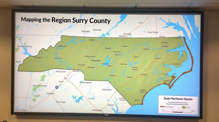
* **Henderson County GIS Website:** https://www.hendersoncountync.gov/121/GIS-Mapping — The main portal for accessing online maps, data downloads, and GIS services.
* **Henderson County Planning & Zoning Department:** https://www.hendersoncountync.gov/246/Planning-and-Zoning-Department — Access detailed maps, zoning information and forms for local development projects.
* **Henderson County Emergency Management:** https://www.hendersoncountync.gov/emergency-management — Discover valuable information pertaining to flood risks, emergency shelters, evacuation routes, and disaster preparedness resources.
Exploring the Power of GIS Tools and Platforms
The online platforms specified above offer various functionalities and layers that go beyond simple mapping:
* **Henderson County GIS Data for Download:**
* Download shapefiles, datasets, and imagery in different formats.
* Utilize the data query tools to explore specific data points.
* **Interactive Map Features:**
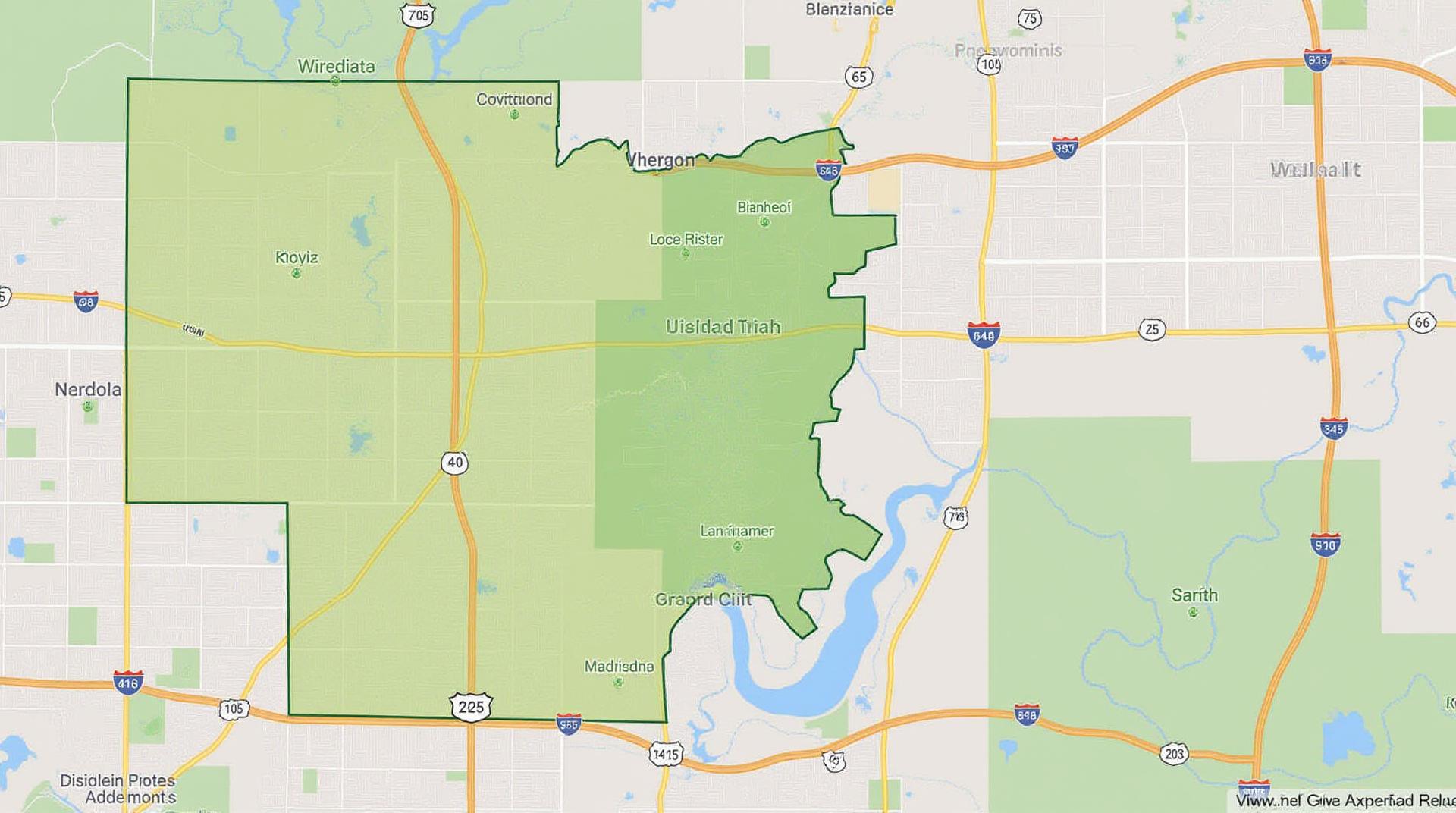
* Zoom, pan, and explore the county’s geographic features in detail.
* View different thematic layers to see how data intertwines spatially—points of interest, water resources, historical sites, population density, etc.
* **GIS Development Kits:**
* Learn how to programmatically interact with GIS data to build custom visualizations and applications.
* **Community GIS Workshops:**
* Henderson County sponsors workshops to learn about GIS tools and how to leverage your local GIS data in the most impactful ways.
The Practical Applications of GIS in Henderson County
The real value of GIS lies in usable insights. These applications prove its success in Henderson County:
* **Residents:** Learn about neighborhood demographics, track local school performance, assess your property value through base statistics, and connect with emergency resources.
* **Businesses:** Identify desirable locations for new developments, analyze market trends, track foot traffic for retail business, and plan for efficient logistics.
* **Researchers:** Contribute to public policy by analyzing social and environmental data, create insightful visual reports of demographics and infrastructure, and document the impacts of development.
Conclusion
Harnessing Henderson County’s GIS data unlocks invaluable local insights, contributing to a rich understanding of the community. With the resources and tools readily available, citizens, businesses, and researchers can leverage GIS technology to engage in informed decision making, stimulate positive change, and fuel growth.
FAQs – Henderson-County-GIS
We’re here to help you understand how to best utilize our GIS data. Here are some common questions and answers.
What types of GIS data does Henderson-County-GIS offer?
We provide a range of GIS data relevant to Henderson County, including:
* **Topographic Maps:** Detailed representations of landforms and elevations. View Topographic Maps
* **Parcel Maps:** Precisely shows locations of buildings, addresses, and zoning information. Explore Parcel Maps
* **Infrastructure Data:** Includes information on roads, bridges, utilities, and telecommunication networks. Find Detailed Infrastructure Data
We offer data in various formats, including shapefiles, geodatabases, and image formats.
How can I access the data?
You can access our GIS data through:
* **Website Platform:** Our interactive website offers a simple interface for accessing and downloading data. Explore Interactive Data
* **Data Downloads:** Direct downloads are available for various data formats, find instructions here: Data Download Guidelines
What are the usage restrictions for Henderson-County-GIS data?
Our GIS data is intended for public use, maintaining the principles of open collaboration and transparency. Feel free to use the data for your own projects, research, and private use!
How is GIS data important to Henderson-County-GIS?
GIS data is foundational to Henderson-County-GIS for several reasons:
* **Planning & Development:** By mapping land use, infrastructure, and demographics we ensure improved planning decisions, development regulations and community engagement.
* **Public Services:** GIS enables us to manage our resources effectively and identify key areas for services like emergency response, public safety, and social planning.
* **Conservation & Stewardship:** GIS aids the planning, implementation, and monitoring of conservation efforts and natural resource management.
**Actionable Insights**
By utilizing GIS data, Henderson County can become a leader in:
* **Efficient service delivery**
* **Proactive problem-solving**
* **Data-driven collaboration**
* **Stronger community development initiatives**
We hope these FAQs are helpful! Please feel free to contact us with any other questions.
Check similar topics: