
Sacramento County GIS: Mapping the Region
Sacramento County GIS: Mapping the Region
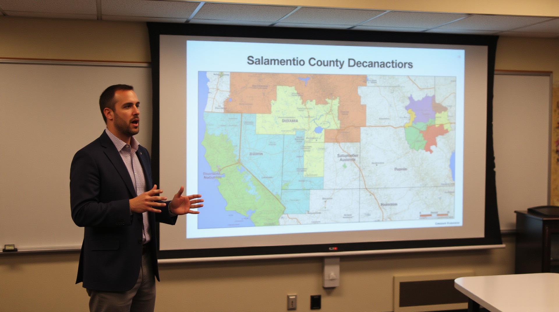
Nestled in California’s central valley, Sacramento County is a vibrant hub of agriculture, industry, and urban living. From serene landscapes to bustling cities, understanding the complexity of its geography is key to successful decision-making, planning, and resource management. That’s where Sacramento County’s Geographic Information System (GIS) comes in. This powerful tool provides a window into the region, revealing valuable insights that can empower anyone, from everyday residents to research institutions and businesses.
What is County GIS and Its Key Features?
GIS uses tools and technologies to capture, analyze, and visualize geographic data. In Sacramento County, GIS helps us understand the region by displaying features such as:
1. Land and Topography:
- Elevation maps: Visually assess terrain and understand mountainous areas for land development or disaster planning.
- Land Use:** Easily find which areas are designated parks, farms, or urban spaces for informed park management or zoning decisions.
- Drainage and floodplains: Gain insight into flood risk study areas for better flood control strategies and safety planning.
2. Infrastructure and Development:
- Transportation systems: Track road networks and public transit routes for efficient traffic routing and alternative route planning.
- Utility networks: See where water, sewage, and power lines are located for convenient service connection or liability planning.
- Buildings and structures: Identify areas for construction or evaluate land use suitability for commercial or residential development.
3. Environmental Monitoring:
- Environmental hazards: Map potential wildfire zones based on vegetation map to better prepare for fire risks and implement hazard mitigation strategies.
- Water quality issues: Visualize waterbodies and data about river flows and water pollution levels for conservation efforts and resource monitoring.
- Air quality data: Track air pollutant concentrations, identify pollution hotspots, and make informed decisions about environmental policies.
The Benefits of Sacramento County GIS Data
By unlocking the power of GIS data, individuals and organizations can benefit significantly from:
* **Informed Decision-Making:** Use high-resolution maps and data layers to make more strategic decisions regarding land use, infrastructure development, and environmental planning.
* **Improved Planning:** Customize area analysis to plan for disaster response, manage resources like water and power networks, optimize traffic flow, and assess real-estate potential.
* **Enhanced Public Services:** Provide citizens with readily accessible information regarding resources, services, and community facilities, enhancing their awareness and access to vital services.
* **Data-Driven Policymaking:** Identify trends, analyze patterns, and support evidence-based decision making to effectively solve community or economic issues.
Resources and Tools for Accessing GIS Data
Sacramento County actively provides resources for accessing its GIS data. You can explore these platforms:
* **Sacramento County GIS website:
This is the hub for a comprehensive overview of GIS resources, including data downloads, maps, and learning modules.
* **SACOG (Sacramento Area Council of Governments):**
Regional collaboration with comprehensive GIS for regional planning and transportation.
* **LAUSD :**
LAUSD provides resources for educational applications of GIS within the school system.
* **Mapping Sites like Google Maps and Bing Maps:** Offer basic visualization, navigation, and location data for general understanding.
## Practical Applications for Users in Sacramento County
GIS data in Sacramento County has practical applications for a wide range of users:
* **Residents:** Locate schools, parks, library locations, find emergency services, or identify potential homes in different neighborhoods.
* **Businesses:** Map potential retail target audiences, determine convenient locations for facilities, assess nearby competition, or evaluate site options for expansion or relocation.
* **Researchers:** Analyze historical patterns, conduct comparative studies of environmental trends over time, or construct statistical analysis models for land use, population, or urban development.
* **Government agencies:** Manage public service projects, mitigate risks during emergencies, facilitate code enforcement tasks, and improve infrastructure planning and development.
Getting Started with GIS in Sacramento County
For those eager to delve deeper, consider exploring the Sacramento County GIS public training resources or library resources. Whether you’re a seasoned professional or a curious individual, the ability to effectively utilize GIS in the region unlocks a wealth of valuable knowledge and empowers you to effectively contribute to the understanding of your community.