GeoAI for Smart Water Quality – Contaminant Detection
GeoAI for Smart Water Quality – Contaminant Detection
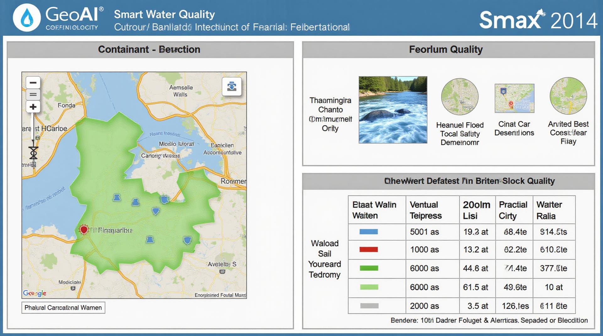
In the quest for clean and safe water, GeoAI emerges as a crucial tool. This innovative technology leverages the power of artificial intelligence (AI) and geospatial data to enhance water quality monitoring and contaminant detection. Let’s delve into the specifics of GeoAI for smart water quality management.
What is GeoAI for Water Quality?
GeoAI utilizes advanced algorithms and geospatial data, such as satellite imagery, aerial photography, and historical weather data, to analyze and understand the spatial relationship of contaminants with environmental factors affecting water quality.
Specifically, for water quality monitoring, GeoAI helps identify areas with potential pollution sources or predict water contamination trends.
Key Features of GeoAI in Water Quality
* **Image Analysis:** GeoAI algorithms can process images like satellite and aerial photos to identify and measure:
* **Water bodies:** Determining water bodies and ensuring their visibility to check for contamination.
* **Vegetation changes:** Analyzing changes in vegetation density and types to detect alterations caused by pollutant infiltration.
* **Pollution markers:** Recognizing visual signs of harmful material such as oil slicks, dye spills, or waste discharges.
* **Remote Sensing:** GeoAI leverages data from ground-based systems or sensors to:
* **Detect anomalies:** Identify irregularities in water quality parameters based on remotely measured physical characteristics.
* **Predictive modeling:** Utilize historical data to build predictive models for future water quality scenarios.
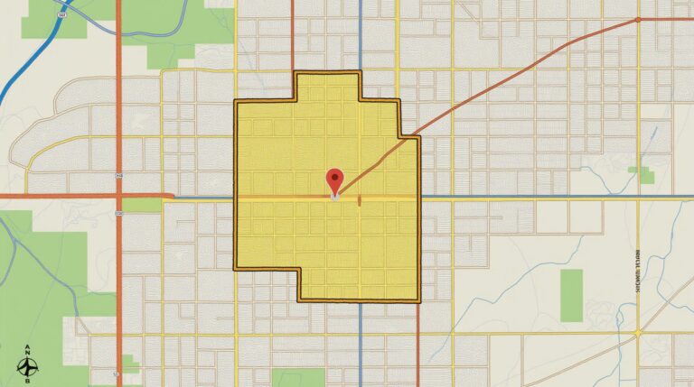
* **Geospatial Mapping:** GeoAI combines various environmental layers and spatial data to create multi-dimensional maps that offer:
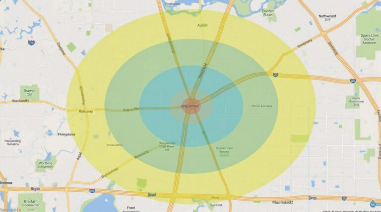
* **Pollution Hotspots:** Mapping areas of potential concern to focus remediation efforts.
* **Trend Analysis:** Visualize the geographical spread of contaminants over time, revealing trends and patterns.
* **Visualization and Communication:** Enhance communication of data trends and findings for stakeholders.
Benefits of GeoAI for Water Quality
* **Improved Accuracy:** Reduce the uncertainty involved in reservoir management and water treatment processes.
* **Real-Time Monitoring:** Detect potential hazards faster, enabling quicker intervention to mitigate damages.
* **Cost-Effectiveness:** optimize resource allocation by focusing testing efforts where it matters most.
* **Data-Driven Decisions:** Provide a robust and reliable basis for informed decision-making.
* **Enhanced Transparency:** Open nesting agency with transparency by prioritizing data accessibility and open-access tools.
Practical Applications of GeoAI in Water Quality
* **Pollutant Source Identification:** GeoAI helps pinpoint the exact location where pollutants are entering water bodies, whether from industrial discharge or agricultural runoff.
* **Water Resource Management:** Optimize water management practices in urban and rural settings by predicting water availability and identifying potential issues.
* **Flood Prevention:** Preempt possible flooding impacts by helping predict flash floods and other natural hazards.
* **Eco-Restoration:** Develop targeted restoration strategies for contaminated areas based on the unique environmental characteristics.
* **Water Testing Efficiency:** Improve water quality analysis efficiency by choosing sampling locations on the basis of predictive data about the contamination process.
Resources for Further Learning
The environment for GeoAI is continuously expanding, with resources available for various interests, including:
* **NASA Earth Observation Program:**
* **Google Earth Engine:**
>* This powerful tool enables large-scale data processing, analysis, and monitoring of parameters like chlorophyll and rainfall.
* **Open Source Datasets:** Resources like the USGS Gap Analysis Program and various data repositories contain numerous water quality data laden datasets for transparent and collaborative applications.
Choosing to implement GeoAI in your water quality program can dramatically improve your ability to monitor and manage the planet’s precious resource.
Check similar topics:
FAQs
Here are answers to some frequently asked questions about geoai-contaminant-detection:
Availability
geoai-contaminant-detection is available for download from our platform at https://www.techgeo.org/download.
Formats
- The geoai-contaminant-detection model is available in a variety of formats, including: Common file formats.
- We offer support for common file formats like: Supported formats.
Usage
Our comprehensive documentation is available at https://www.techgeo.org/docs. You’ll find detailed information on:
- Using the geoai-contaminant-detection model effectively
- Understanding its various parameters
- Troubleshooting common scenarios
Contact
If you have additional questions, please don’t hesitate to contact us at support@techgeo.org.
Importance and Actionable Insights
Geoai-contaminant-detection presents a groundbreaking advancement in environmental monitoring and remediation. Through the use of this cutting-edge technology, we can achieve:
- Accurate detection of airborne contaminants with enhanced spatial awareness
- Real-time monitoring of pollution parameters
- Improved predictions of contaminant spread
- Development of effective mitigation strategies
Geoai-contaminant-detection empowers us to combat environmental challenges proactively and responsibly, ensuring a cleaner and healthier planet for future generations.

