AI for Geospatial Data Annotation – Automated Labeling
AI for Geospatial Data Annotation – Automated Labeling
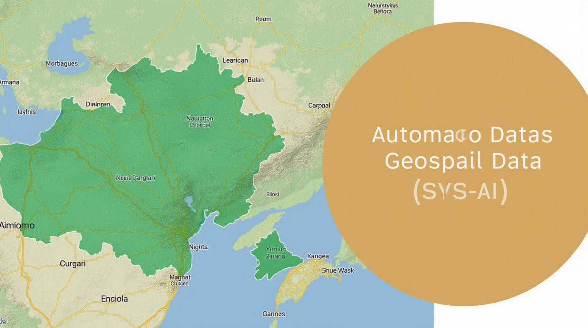
The world is awash in geospatial data, from satellite images to aerial photos, lidar scans, and even GPS records. This wealth of information holds immense potential for understanding our planet and its various aspects – but extracting true value from it requires significant human effort. Enter AI-driven automation for geospatial data annotation – the game-changer in the geospatial data analysis landscape.
What is Geospatial Data Annotation?
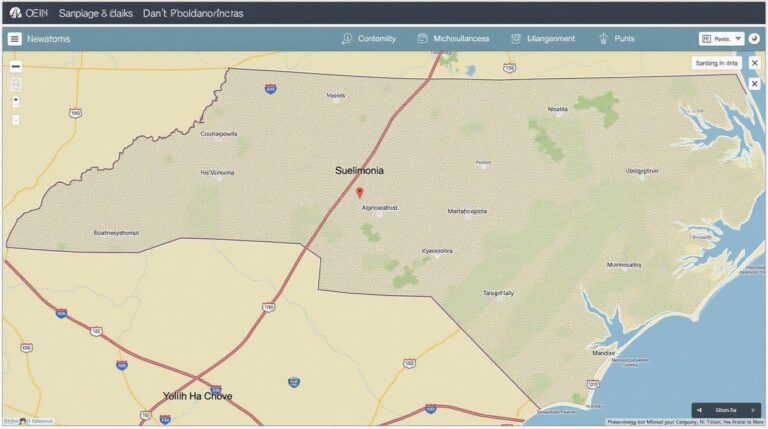
GeoAI, or geospatial artificial intelligence, focuses on the application of AI techniques to geospatial data. Geospatial data annotation using AI is the process of automatically labeling data to better inform AI algorithms. Think of it like this: you provide your AI assistant with pointers, not just text, to accurately build its understanding of the real world.
Here are the key types of annotation used in geospatial data:
- Instance Segmentation: Identifying and isolating unique object instances in an image (eg. ships, traffic signs, or power lines).
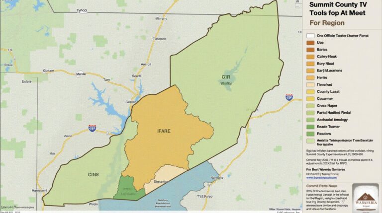
- Semantic Segmentation: Attribute each pixels of an image to represent a variety of concepts (e.g. vegetation, roads, water bodies).
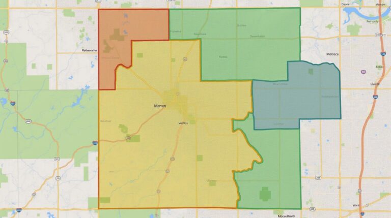
- Polygons and Point Clouds: Bounding polygons to define outlines and identify spatial patterns (e.g. roads, buildings, forest landscapes).
- Semantic Reprocessing: Creating labeled visual content from current data and using the acquired knowledge to update prior data sets.
Why Choose Automated Labeling with AI?
Manually labeling geospatial data is expensive, time-consuming, and often prone to human error. Automated labeling using AI present several compelling advantages:
- **Speed and Efficiency:** Automate annotation processes, significantly reducing labor costs and accelerated analysis timelines.
- **Improved Accuracy:** AI algorithms can handle highly complex and repetitive tasks with precision, reducing errors associated with manual labeling.
- **Scalability:** Streamline large-scale data processing, making geospatial data analysis possible even for vast and diverse datasets.
- **Cost-effectiveness:** Reduce workforce dependence and optimize resource utilization for optimal project completion.
Practical Applications
The applications of AI-powered Automated Labeling for geospatial data are wide-ranging and ever-evolving.
- Smart Urban Planning:** Analyzing traffic patterns, optimizing traffic light systems, and planning infrastructure projects.
- Environmental Monitoring & Conservation:** Detecting deforestation, tracking species movement, and managing natural resources.
- Disaster Management:** Analyzing maps for post-earthquake damage assessment, detecting floods, and providing real-time information.
- Agriculture:** Locating areas suitable for crop planting, analyzing soil composition and water needs.
- Mining and Resource Exploration:** Predicting mineral deposits and facilitating environmental impact assessments.
- Precision Farming:** Creating maps of field boundaries and soil conditions for efficient fertilizer and pesticide management.
Essential Resources for Geospatial AI
To dive deeper into this exciting field, explore these resources:
- ESRI: A leader in geospatial technology
- Cartos: Simplifying geospatial data
- MapBox GeoJSON: A Standard for Geospatial Data
- Google AI for Geospatial Datasets: Share and discover high-quality research on geospatial data.
Conclusion
AI for geospatial data annotation offers a transformative toolset for exploring and unlocking the potential of our increasingly digital world. As these AI technologies continue to mature, the possibilities for innovation across diverse geospatial applications will only grow.
Let me know if you like any of these points expanded upon!
Check similar topics:
## GeoAI Data Annotation Expertise at www.techgeo.org
What is GeoAI Data Annotation?
GeoAI Data Annotation involves tagging digital geographic data with relevant information. It’s the foundation of a robust GeoAI ecosystem and involves labeling points, polygons, and other data structures using intricate attributes and classifications. This information aids in training complex GeoAI models like image classification, object detection, and remote sensing analysis.
Where Does GeoAI Data Annotation Come In?
GeoAI plays a pivotal role in various critical sectors:
* **Urban Planning:** Assess the efficiency of public transportation, identify potential spaces for expansion, and optimize urban planning strategies.
* **Agricultural Monitoring:** Analyze soil health, detect crop diseases, and streamline irrigation management for increased agricultural efficiency.
* **Environmental Protection:** Monitor deforestation rates, locate endangered species, and track the spread of wildfires for better disaster management and environmental protection.
FAQs
Availability & Features : Learn More
* **Format Support:** We offer annotation services across various popular formats, such as GeoJSON, Shapefile, and KML.
* **Annotation Support:** Our platform supports diverse labeling features, including points, polygons, lines, and classifications.
* **Scalability:** We empower efficient data annotation scaling, catering to needs of both individual projects and large-scale datasets.
Data Annotators: Data Annotation Jobs
* **Expertise:** We work closely with a robust community of expert annotators specialized in different subjects.
* **Accuracy:** We prioritize high annotation accuracy, utilizing rigorous quality control measures, ensuring high-quality output.
Pricing and Support : Contact Us
* **Competitive Pricing:** We provide customized pricing options to suit your project needs.
* **Technical Support:** Our team provides ongoing technical support throughout the whole project lifecycle, ensuring a seamless experience.
Understanding GeoAI Data Annotation
Data annotation is critical for unlocking the diverse potentials of geographical data for diverse applications. However, it’s only one aspect of a larger picture. By combining GeoAI Data Annotation with other technologies like machine learning, we access a universe of knowledge to solve real-world challenges facing our communities.
We at techgeo.org are dedicated to making GeoAI technology more accessible and valuable for our partners.
Let us help you accelerate your GeoAI journey by connecting your data to powerful insights.

