AI in Geospatial Data Interpretation – Image Analysis
Harnessing the Power of AI for Geospatial Data Interpretation: Image Analysis
Machine learning and deep learning, encompassing Artificial Intelligence (AI), are profoundly transforming various industries, including geospatial data interpretation, with groundbreaking applications in image analysis.
What is Image Analysis in the Context of Geospatial Data?
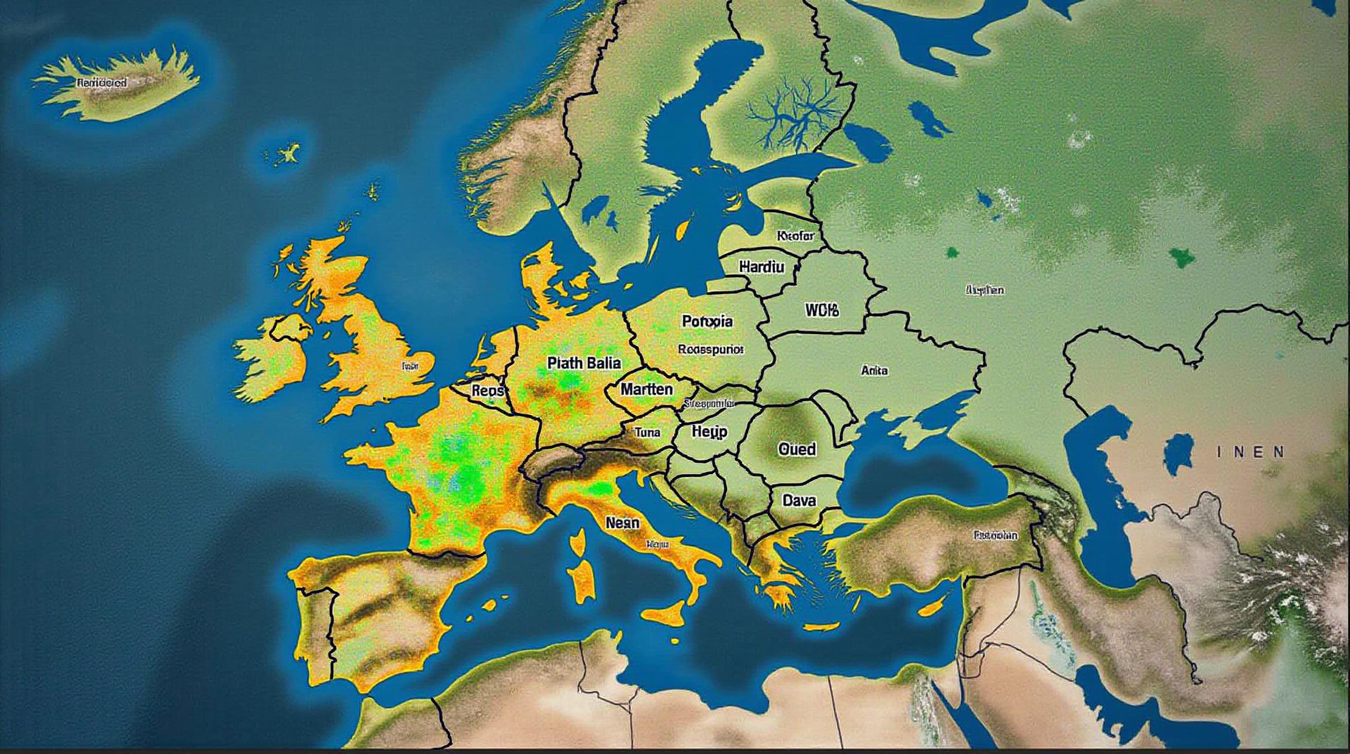
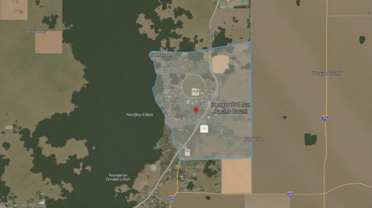
In geospatial data, image analysis involves using image data to extract meaningful information about geographic features and analyze spatial patterns. This data can come from various sources, including aerial photographs, satellite imagery, LiDAR scans, and other remote sensing platforms.
Why Is AI-Powered Image Analysis Revolutionizing Geospatial Data?
AI’s real potential lies in:
- Automated Feature Extraction: AI models can identify and classify geographic features such as land cover types, urban areas, objects (like roads or buildings), and even track changes in terrain, water bodies, or vegetation patterns over time.
- Advanced Pattern Recognition: AI can analyze complex spatial patterns and anomalies, often surpassing human capabilities, identifying signs of deforestation, pollution hotspots, or even natural disasters.
- Data Driven Insights: By assisting the analysis of vast amounts of imagery with less error, AI helps us draw insightful conclusions regarding land use management, environmental monitoring, and resource allocation.
- Reduced Human Effort: AI automates tedious and complex tasks, freeing up time for geospatial professionals to focus on higher-level analysis and problem solving.
Key Features of AI for Geospatial Image Analysis
Let’s dive deeper into some of the crucial AI elements employed in geospatial image analysis:
- Convolutional Neural Networks (CNNs): CNNs excel in image processing tasks due to their ability to identify patterns and features in images, making them ideal for tasks like image classification and object detection.
- Reinforcement Learning (RL): RL algorithms are valuable for tasks requiring continuous improvement and adaptation, such as automated feature extraction, especially for challenging cases.
- Generative AI Models: These models are used to predict future scenarios, seamlessly generating new images to understand patterns, like predicting future land cover transformations or virtual “what-if” scenarios
Practical Applications of AI in Geospatial Image Analysis
Here are a few real-world examples of where AI is making waves in geospatial applications:
- Land Use Management and Planning: AI can analyze satellite imagery to classify land use types, monitor deforestation, analyze urbanization and predict future growth patterns, making informed land management decisions.
- Disaster Response and Monitoring: Quickly detecting and assessing damage after natural disasters such as floods or hurricanes through image analysis after an event has occurred is facilitated by AI.
- Environmental Monitoring: Detecting pollution hotspots, detecting and understanding climate change impacts on specific areas.
- Infrastructure Development and Maintenance: Analyzing urban areas for better transportation and infrastructure planning, including road network improvement and oversight to optimize resource allocation
Finding Resources and Tools for Your Geospatial Image Analysis Journey
Let’s get you started on your AI journey with tools and resources:
- Open-Source Libraries: TensorFlow, PyTorch, and scikit-learn are popular libraries for building and training your AI models for geospatial analysis.
- Cloud Platforms with Geospatial AI: Google Cloud AI Platform, Amazon Web Services SageMaker, Microsoft Azure AI Services, and others offer pre-trained models for various geospatial tasks.
- University Programs and Training Courses: Several universities are actively training students and practitioners on AI and its applications, such as the University of Edinburgh’s Global Change Institute.
Powerful AI technologies, especially in image analysis & interpretation in geospatial data, offer a new era of discovery and tailored solutions.
Let us know if you have any further questions.
Check similar topics:
Frequently Asked Questions
Here are some frequently asked questions about geoai-image-analysis:
Availability
Geoai-image-analysis is currently available on www.techgeo.org.
Common Usage Scenarios
- Identifying locations from remotely sensed imagery: Geoai-image-analysis easily identifies features such as buildings, roads, and water bodies in satellite or aerial images. This allows users to track land use changes and identify potential hazards or opportunities.
- Annotating images for specific purposes: Use Geoai-image-analysis to add details to images, effectively labeling objects, areas, and other features like buildings, roads, or vegetation.
- Enhancing other AI applications with location context: Integrate Geoai-image-analysis into machine learning models to improve their accuracy when dealing with spatial data.
Supported Formats
Geoai-image-analysis is designed to handle a variety of image formats, including:
* JPEG
* PNG
* GeoTIFF
* CSV
Get Started
To access features of Geoai-image-analysis, visit our platform on www.techgeo.org. You can start your free trial today
Importance of Geoai-Image Analysis
Geoai-image analysis transforms the way we interact with our world:
Geoai-image analysis provides a method to efficiently gather information about our physical and cultural environment. This powerful form of data analysis has significant applications in various fields like urban planning, environmental management, resource management, disaster relief, and even infrastructure development.
Actionable Insights
Learn how Geoai-image analysis is revolutionizing fields by visiting www.techgeo.org. Check out our tutorials and documentation and discover how this cutting-edge technology can enhance your work.
Let me know if you need specific details on any aspect of Geoai-image analysis, like its customizability, data access, pricing models, etc! I can offer more tailoring.

