GeoAI for Flood Risk Assessment – Predictive Modeling
GeoAI for Flood Risk Assessment – Predictive Modeling
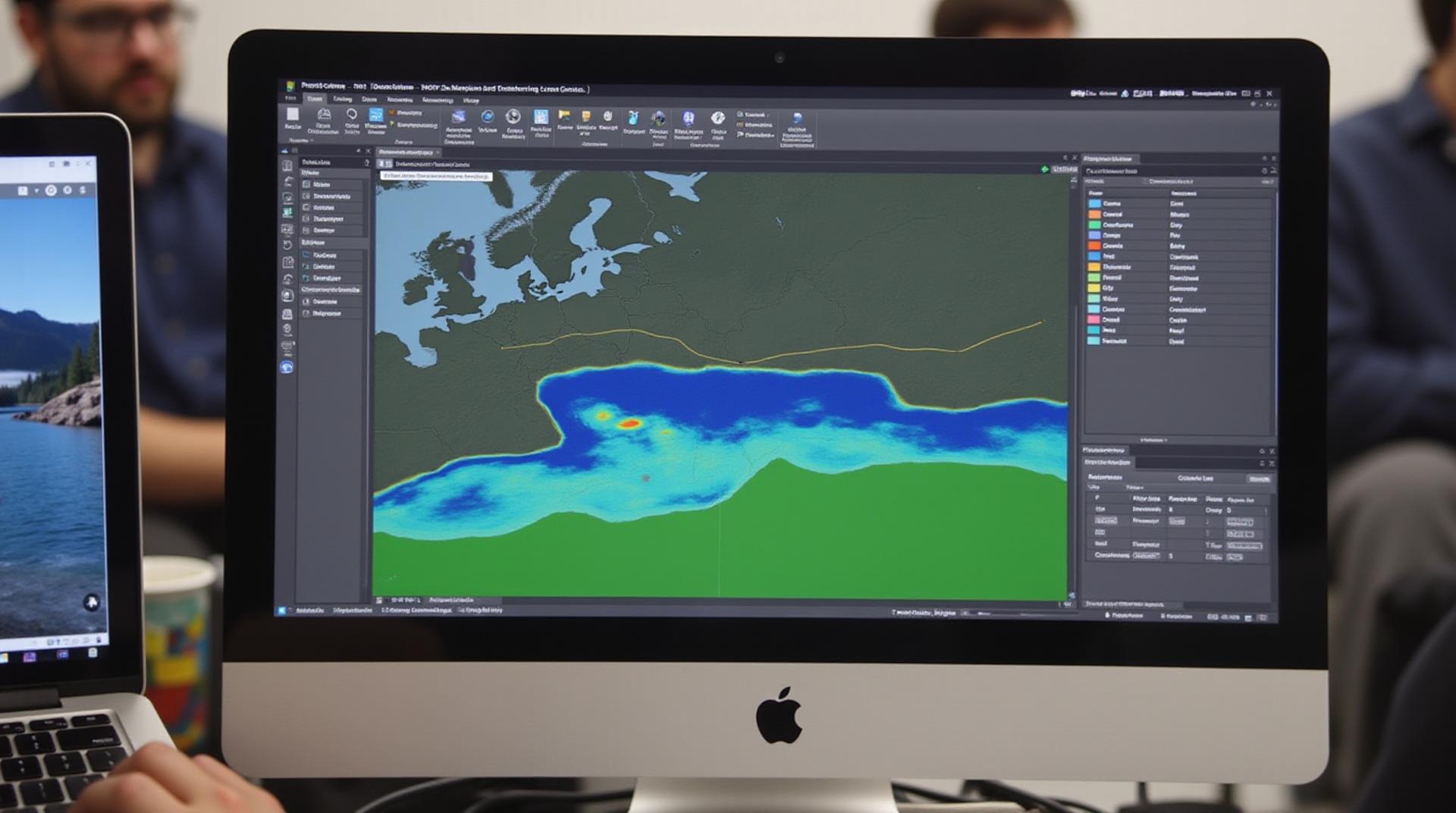
With rising sea levels and increasingly erratic weather patterns, flood risks are becoming a significant global threat. GeoAI, the integration of geographic information systems (GIS) with artificial intelligence (AI), is bringing transformative solutions to flood risk assessment and mitigation. This blog post dives into the world of GeoAI for flood risk assessment – presenting it as a powerful tool to predict floods and vulnerable regions.
Understanding Flood Risk Assessment
Flood risk assessment is a multi-faceted process that helps us understand the likelihood and severity of flood events in specific locations. It involves analyzing various factors, including:
- Historical Flood Data: Past floods help understand historical patterns and identify locations prone to flooding.
- Geographical Characteristics: Slope gradients, elevation, river system maps, and proximity to water bodies are significant.
- Meteorological Data: Rainfall patterns, wind speed, and ocean currents play crucial roles.
- Socio-economic Factors: Population density, infrastructure, and economic activities can amplify the impact of floods.
How GeoAI Revolutionizes Flood Risk Prediction
While traditional methods involve manual analysis and static data sets, GeoAI combines multiple data layers and advanced algorithms to create predictive models:
Key Features of GeoAI for Flood Risk Modeling:
- Advanced Machine Learning Algorithms: Neural networks and decision trees work to analyze complex datasets and identify significant patterns.
- Geo-spatial Data Integration: Combining satellite imagery, terrain elevation data, GIS, and meteorological data to create contextual landscapes.
- Prediction with High Resolution: GeoAI insights allow for fine-grained predictions of flood extent and intensity, providing high levels of detail.
- Real-time Monitoring: GeoAI models can be constantly updated with real-time weather data, allowing for escalating predictions as environmental conditions change.
Benefits of GeoAI for Flood Risk Enhancement:
- ***Enhanced Prediction Accuracy***: GeoAI models have proven to be highly accurate in predicting flood severity, providing significant insights for timely interventions.
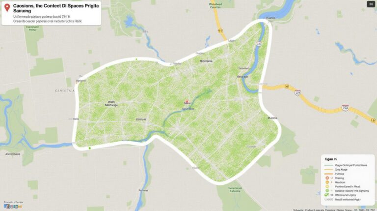
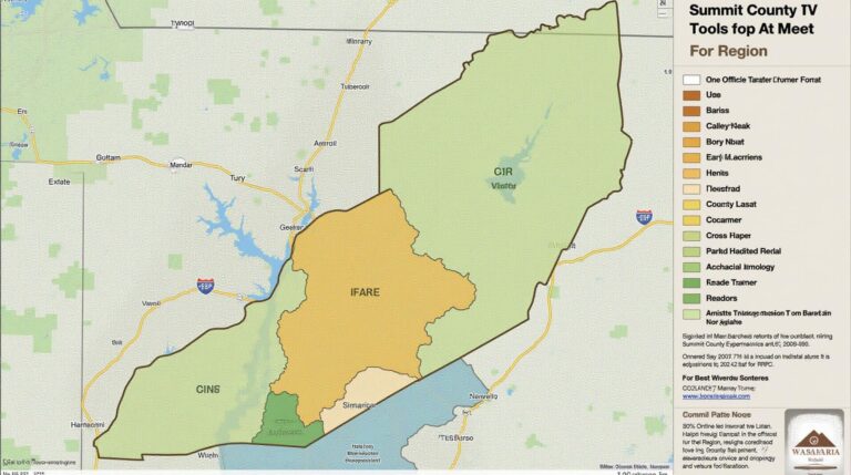
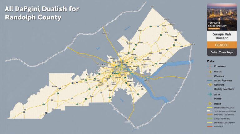
- .***Personalized Risk Maps:** GeoAI generates personalized risk maps for specific neighborhoods and communities, enabling resource control and targeted mitigation planning.
- ***Early Warning Systems**: AI-powered early warning systems can alert stakeholders of impending floods and allow for evacuations and pre-emptive measures before the situation deteriorates.
- ***Cost-Effective Disaster Management**: By identifying flood hotspots and predicting flood paths, GeoAI optimizes resources for efficient disaster management and minimizes financial losses.
Practical Applications and Geospatial Tools
GeoAI is already being utilized in various key applications:
- Flood Forecasting Systems: Integrate with existing meteorological data to predict flood cascades and inform emergency responders.
- Infrastructure Design & Management**: Utilize GeoAI to identify vulnerable areas for infrastructure improvements and better planning.
- Urban Planning** : Create mitigation strategies by utilizing GeoAI analytics to map flood-prone areas and redesign urban environments.
- Insurance and Financial Risk Assessment: Assess financial losses based on flood risks enabling strategical pricing & investment decisions.
Numerous technologies and tools aid in GeoAI implementation, including:
- ArcGIS, a platform from Esri, provides robust GIS and data analytics tools.
- Google Earth Engine, a cloud-based platform for Earth observation data analysis.
- IBM Watson Studio offers powerful AI capabilities and machine learning platforms for data analysis.
- OpenRefine enables data cleaning and processing, creating cleaner datasets for impactful outputs.
Moving Forward: Embrace GeoAI and Shape a Resilient Future
GeoAI has the potential to revolutionize flood risk management, enabling proactive preparedness and minimizing the devastation caused by flooding. Continual innovation within AI and dictated data analytics is bringing greater accuracy, empowering communities, and shaping a more resilient future.
Check similar topics:
## GeoAI-Flood-Risk FAQs
This FAQs section provides answers to common questions about our GeoAI-Flood-Risk solution.
### Availability
* **Who can access GeoAI-Flood-Risk?** The service is currently accessible to registered users of www.techgeo.org.
* **What platforms are supported?** GeoAI-Flood-Risk is web-based and supports all modern web browsers.
* **Do I need specific software or knowledge to use it?** No, GeoAI-Flood-Risk is intuitive to use, even without technical expertise.
### Formats
* **What outputs can I get?** GeoAI-Flood-Risk delivers interactive maps featuring detailed layers of flood risk predictions. You can also export results in various formats like PDF, GeoJson and CSV for further analysis.
* **What data is used to generate predictions?** The data used is a combination of open-source, real-time, and proprietary datasets, including elevation data, historical flood events, meteorological data, and socio-economic information.
### Usage
* **How is GeoAI-Flood-Risk used?** This interactive tool can help visualize flood risk on a specific geographical location, understand its historical context, assess risks associated with different scenarios, and predict potential areas most susceptible to flooding.
* **Are there user documentation or guidelines available?** Yes, detailed user manuals and tutorials are available on our website: www.techgeo.org/docs/.
### Why is GeoAI-Flood-Risk important?
GeoAI-Flood-Risk empowers users to anticipate flood risks, develop effective disaster mitigation strategies, and make informed decisions regarding land use planning and property investments. Understanding and proactively addressing flood risk can significantly reduce environmental impact and socio-economic consequences, fostering resilient communities.
### Actionable Insights
* **Understand your area’s flood risk:** Navigate the interactive maps to gain valuable insights into your specific location.
* **Plan for future events:** Incorporate GeoAI-Flood-Risk predictions into your business planning and future development projects.
* **Contribute to research and better understanding:** Contact us if you have specific areas in which you’d like us to enhance coverage!
By using GeoAI-Flood-Risk, you contribute to safer, more sustainable and resilient communities.

