GeoAI for Smart Transportation Systems – Traffic Optimization
GeoAI for Smart Transportation Systems – Traffic Optimization
Overwhelmed by traffic? Constantly stuck in gridlock? As the world’s population explodes, urban congestion becomes a global challenge. This is where GeoAI, the powerful intersection of geography and artificial intelligence, steps in to revolutionize the way we look at and manage our transportation systems.
Opening the Doors to Unprecedented Traffic Optimization
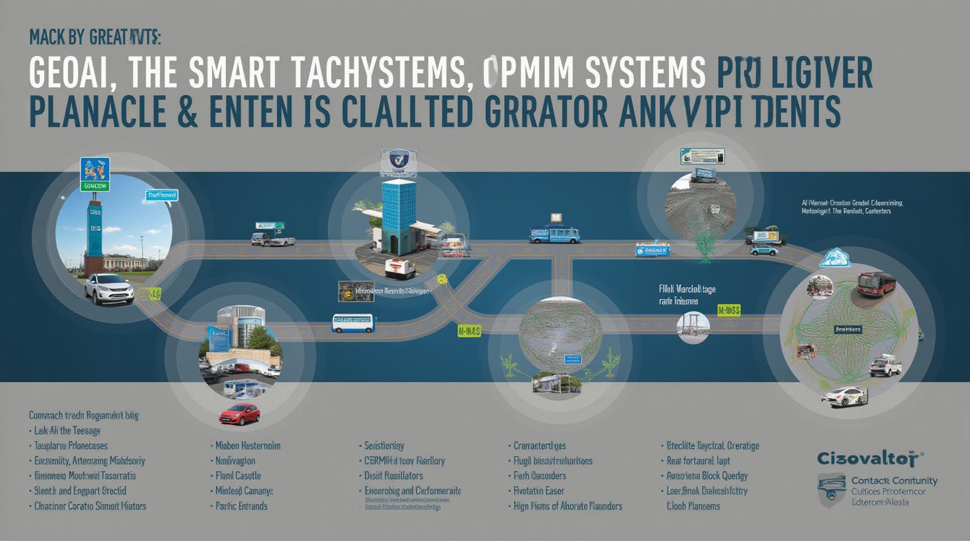
- Real-Time Traffic Management: GeoAI algorithms analyze live traffic conditions and movement patterns, providing real-time data that can be used to dynamically adjust traffic lights, reroute traffic, and identify congestion points.
- Predictive Modeling: GeoAI goes beyond real-time analysis, leveraging historical traffic data and weather patterns to predict congestion hotspots which can be proactively addressed by bandwidth allocation and optimal routing, reducing travel times.
- Resource Management: By integrating transportation data and fleet information, GeoAI optimizes resources such as fuel consumption, driving patterns, and parking availability.
- Focus on Sustainability: GeoAI can identify efficient and sustainable commutes by suggesting carpooling, public transport options, and pedestrian-friendly routes, promoting eco-conscious travel habits.
Benefits of Applying GeoAI for Traffic Optimization
The benefits of implementing GeoAI in traffic management systems are numerous. Let’s explore them:
* **Reduced Traffic Congestion:** GeoAI optimizes traffic flow, leading to significantly shorter commute times and reduced fuel consumption.
* **Enhanced Public Safety:** By analyzing accident risk factors through location data, GeoAI can provide real-time recommendations for halts and intersections, improving public safety and enforcement effectiveness.
* **Increased Efficiency for Businesses:** GeoAI optimizes logistics networks by predicting congestion, optimizing delivery routes, and improving inventory management.
* **Eco-Friendly Transport:** By encouraging the use of sustainable transportation options like electric vehicles and public transit, GeoAI contributes to a greener and more sustainable future.
Practical Applications of GeoAI in Transportation
GeoAI is transforming various aspects of transportation:
* **Smart Traffic Management Systems:** Integrating traffic cameras, sensor data, and real-time analytics to manage and adjust traffic signals proactively.
* **Public Transportation optimization:** Analyzing route efficiency, passenger flow, and schedule adherence to optimize public transport routes and reallocate resources.
* **Ride-Sharing Platforms:** GeoAI algorithms personalize routes and provide recommendations for efficient carpooling or ride-sharing opportunities.
* **Autonomous Vehicle Systems:** GeoAI plays a crucial role in assisting autonomous vehicles with navigation, route planning, and obstacle avoidance.
Investing in GeoAI for the Future of Smart Transportation
GeoAI is a transformative technology for the future of smart transportation. As the demand for efficient, sustainable, and user-friendly transportation solutions continues to grow, investing in GeoAI is essential for cities and nations to embrace the possibilities of smart and resilient transportation infrastructure.
Resources for Learning More:
- The Geospatial Intelligence Analyst’s Handbook: Explore the practical applications of GeoAI here: https://www.amazon.com/Geospatial-Intelligence-Analysts-Handbook-Analysis/dp/1416060832
- IEEE Intelligent Transportation Systems Magazine: Stay updated on the latest research and advancements in GeoAI: https://www.ieee-its.org/
Check similar topics:
GeoAI-Smart Transportation FAQs
About GeoAI-Smart Transportation
GeoAI-Smart Transportation uses the power of Artificial Intelligence (AI) to optimize transportation systems, leading to increased efficiency and reduced congestion. Let’s answer some common questions about this exciting technology.
Availability
Our GeoAI-Smart Transportation platform is currently available via our API integration. Interested businesses and developers can easily integrate this technology into their applications by contacting us for documentation and implementation support.
Data Formats
We support several data formats including JSON, CSV, and GeoJSON for easy integration and analysis.
How To Use GeoAI-Smart Transportation
Our platform provides ready-to-use tools and services for common applications. For example, you can use our tools to:
- Analyze traffic patterns and predict future congestion.
- Optimize route planning and logistics.
- Improve public transportation schedules and rerouting.
- Analyze transportation infrastructure needs for enhanced and sustainable development.
Explore our documentation at https://www.techgeo.org/docs for detailed instructions and examples.
Importance & Actionable Insights
GeoAI-Smart Transportation brings about numerous advancements, transforming the way we interact with transportation systems. Some invaluable benefits include:
- Reduced Traffic Congestion: AI-powered traffic prediction and rerouting capabilities help streamline traffic flow and alleviate congestion.
- Optimized Transportation Infrastructure: Geospatial analysis empowers cities and governments to allocate resources efficiently, leading to improved transportation infrastructure.
- Increased Environmental Sustainability: Optimized routes, flexible and adaptive public transportation systems, and reduced fuel consumption contribute to a cleaner environment.
- Enhanced Safety: Predictive maintenance and intelligent traffic management systems improve road safety and reduce accidents.
The future of transportation is advanced, and GeoAI-Smart Transportation is at the forefront of this evolution. We encourage you to connect with our team for personalized consultations and become a part of the AI revolution.
**Notes:**
* The content can be further tailored and customized based on your specific services and values.
* Include links to your actual API documentation, training materials, and other relevant resources.
* Consider visually appealing graphics related to GeoAI-Smart Transportation.
Let me know if you’d like specific information or examples added.

