AI in Geospatial Data Fusion – Multi-Sensor Integration
AI in Geospatial Data Fusion: Multi-Sensor Integration
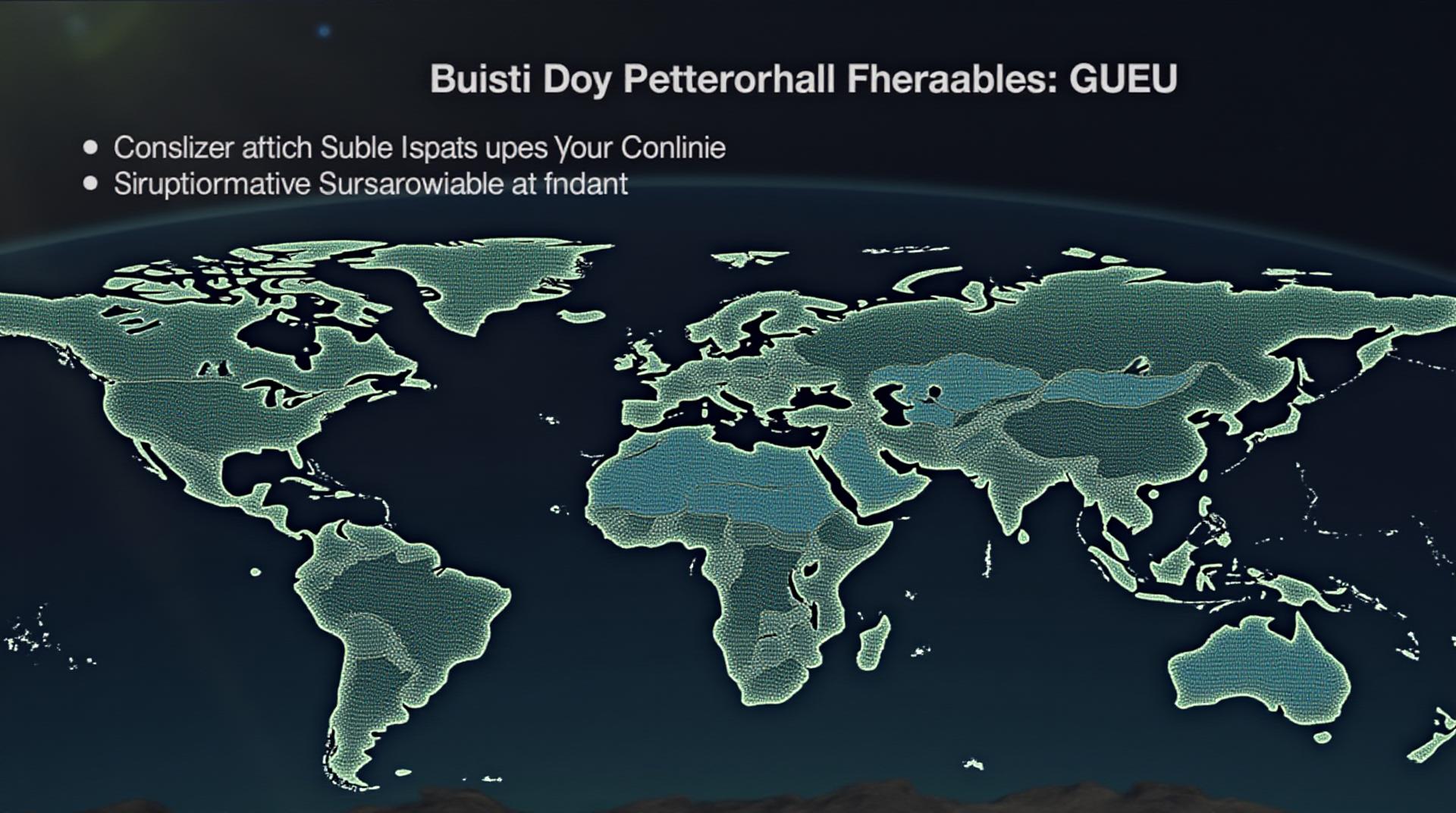
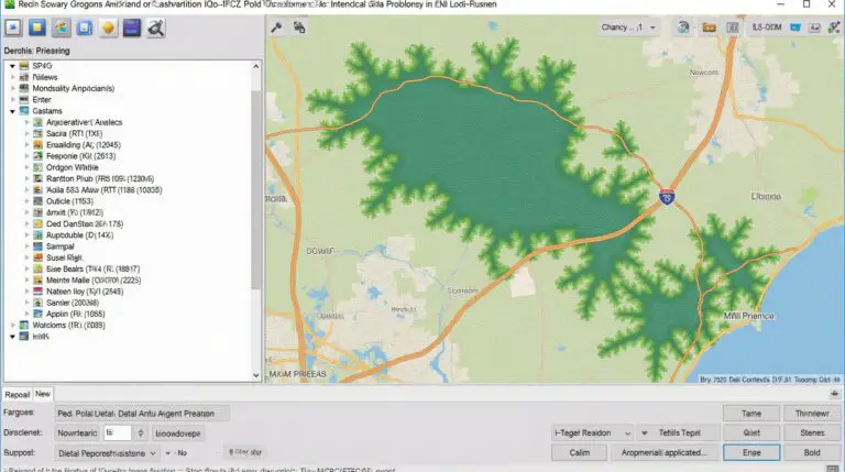
The landscape of geospatial data is evolving rapidly, with an unprecedented proliferation of sensors capturing diverse, multi-faceted information. This surge in data offers incredible potential for informed decision-making, predictive modeling, and improved situational awareness. However, effectively harnessing this wealth of data necessitates a sophisticated approach – Multi-Sensor Integration (MSI). Here, we explore the art of AI-powered Geospatial Data Fusion, specifically, how artificial intelligence facilitates the seamless blending of data from different sources for more comprehensive analysis and actionable insights.
What is Geospatial Data Fusion?
Geospatial data refers to geographical information that can be visualized and analyzed in its relation to location. It encompasses various types of data, such as satellite imagery, aerial photography, lidar data, GPS measurements and more. Geospatial data fusion aims to combine this diverse information into a unified view for efficient and effective analysis.
Why is Multi-Sensor Integration Important?
- Enhanced Accuracy and Reliability**: Integrating multiple sensor types can improve the accuracy and reliability of geospatial data. For example, a system combining optical satellite imagery with aerial LiDAR data can provide a more precise understanding of terrain features, vegetation distribution, and building footprint.
- Richer Representation of Spatial Information**: MSI allows for a richer and more contextual understanding of the environment. Combining data from various sources, such as frequency domain radar and thermal sensors, can indicate urban characteristics, weather patterns, and even detect fires or pothole formations.
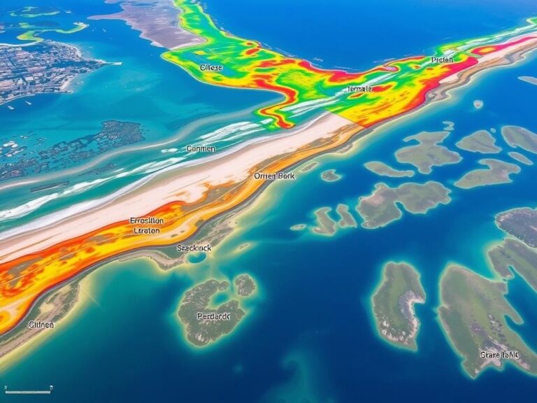
- Deeper Insights and Predictions**: By merging data from diverse sources like LiDAR, aerial photos, and satellite images, sensors, AI can provide detailed insights into the behavior of complex systems like ecosystems, traffic flow, or maritime patterns, allowing for better prediction and forecasting capabilities
The Role of AI in Geospatial Data Fusion
Traditional methods rely on the hand-picking of features and expert knowledge to fuse seemingly disconnected data sets. Artificial intelligence, particularly machine learning algorithms, offers a more powerful than ever solution.
AI excels at:
- **Automatic Feature Extraction**: Automated algorithms can learn to identify and extract relevant features from different data sources using computer vision and deep learning techniques. These features can then be used to create more robust and informative composites.
- **Data Reconciliation and Filtering**: AI can help mitigate information noise and resolve conflicting readings from different sensors. It also helps to identify outliers and anomalies, ensuring a more accurate representation of reality.
- **Confidence Level Assessment**: By analyzing feature importance and understanding the uncertainty in data collection, AI techniques can assess the reliability of single source data, contributing to more informed fusion decisions.
Practical Applications of AI in Geospatial Data Fusion
AI-powered MSI is revolutionizing various sectors, including:
- **Disaster Management**: AI can speed up the detection of disaster locations, aid in damage assessment, and improve emergency response.
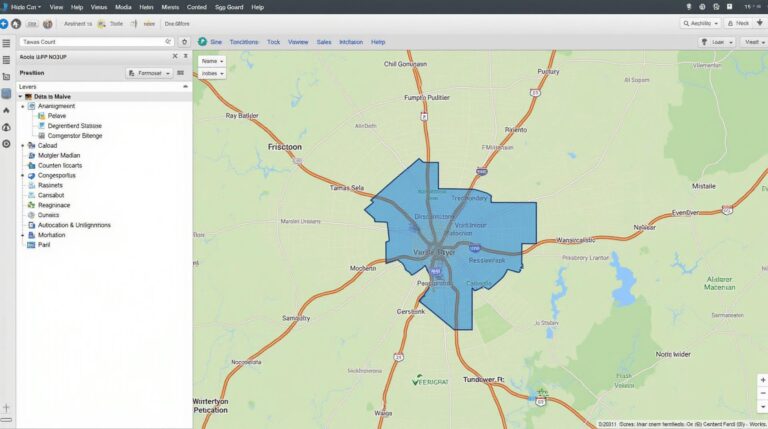
- **Urban Planning and Development**: City managers can leverage geospatial data for optimizing traffic flow, planning public infrastructure, and guiding urban development.
- **Environmental Monitoring**: AI powers climate change research and analysis, helps in conservation efforts through wildlife and vegetation monitoring, and contributes to improving soil health and quality.
- **Agriculture & Food Security**: AI-powered MSI can optimize water usage and fertilizer allocation, enhance precision farming, and track the health of crops.
Resources for Further Learning
For a deeper dive into this dynamic field, explore these valuable resources:
- ArcGIS AI : Esri’s website with an article covering AI for map makers.
- ArcGIS and Remote Sensing: Article of advanced techniques between ArcGIS and remote sensing.
–>
The evolution of AI in Geospatial Data Fusion offers immense potential to unlock even more insightful data and solutions. By embracing these new technologies, organizations and individuals can advance their decision-making processes, and contribute to creating a more sustainable future.
Check similar topics:
Frequently Asked Questions
Here are some common questions about geoAI-Data Fusion:
What is geoAI-Data Fusion?
GeoAI-Data Fusion seamlessly integrates geospatial data from multiple sources, using machine learning and AI algorithms, creating valuable insights and intelligent analytics.
What formats does geoAI-Data Fusion support?
geoAI-Data Fusion is compatible with various geospatial data formats including
* Geopandas (e.g., GeoJSON, Shapefile, GeoTIFF)
* Other vector and raster formats like KML, GeoPackage, and more.
Where can I download geoAI-Data Fusion?
To get started, visit the following website link.
How do I use geoAI-Data Fusion?
Start by uploading your geospatial data. Then follow the simple instructions provided by geoAI-Data Fusion. We provide tutorials on our website to assist you in getting started. Check out our website for guides and resources.
What are the benefits of using geoAI-Data Fusion?
Implementing geoAI-Data Fusion can:
* Potently enhance your spatial data analysis, leading to better decision-making for a wise investment in your business
* Allows for the discovery of unique patterns and insights, discovering valuable trends based on your geospatial data and knowledge
* Be a powerful tool for creating dynamic visual representations of your data.
Can you share some real-world use cases?
We successfully use geoAI-Data Fusion for a variety of applications.
- Development of smarter infrastructure projects.
- Optimization of logistics and supply chains
- Risk assessment and planning for natural disasters.
Why is GeoAI-Data Fusion Important?
GeoAI-Data Fusion is critical because of its ability to access and analyze data in multiple geographic contexts! It unlocks the power of entire datasets, enabling more informed decisions in sectors today.
Please note that the geoAI-Data Fusion platform is constantly evolving. Be sure to visit our website regularly for updates and possibilities

