GeoAI for Smart Agriculture – Precision Farming
GeoAI for Smart Agriculture – Precision Farming
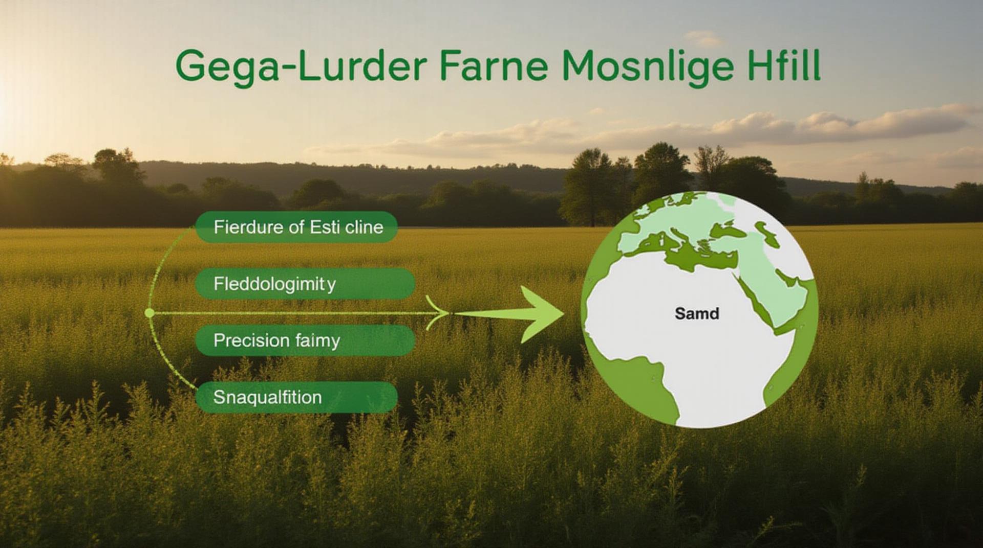
In the rapidly evolving agricultural landscape, precision farming stands out as a critical driver of innovation. GeoAI, the integration of artificial intelligence and geospatial data, has emerged as a vital force in revolutionizing farming practices, achieving unprecedented levels of efficiency and sustainability.
What is GeoAI for Smart Agriculture?
GeoAI combines technical advancements in geo-information and data management with advanced cognitive technologies like computer vision and machine learning to analyze and apply complex datasets on a geographic scale. This concept helps farmers in their daily field management in a more dynamic and precise manner. Some common types of geoscientific information include soil conditions, weather patterns, satellite imagery, and aerial pictures.
Key Features of GeoAI in Precision Farming
- Real-time data analysis:** Linking real-time input streams like weather, soil moisture, and drone data to instantly take action to optimize operations.
- Advanced mapping and visualization: Visualizing data in 3D models to provide better insights about soil nutrient levels, irrigation needs, and plant growth patterns.
- Predictive analytics:** Utilizing historical data and machine learning algorithms to make forecasts about future events, like weather patterns, pest outbreaks, or soil salinity levels.
- Autonomous navigation:** Integrating drone and robotic applications for precision tasks like planting, weeding, and spraying, minimizing human intervention.
- Optimized resource management:** Utilizing sensors and data from the field to deliver the most efficient use of fertilizer, water, and pesticides, minimizing waste.
Benefits of GeoAI in Precision Farming
The implementation of GeoAI in agriculture offers a wide range of benefits, leading to efficient practices and increased profitability.
- Increased crop yield:** By optimizing planting and harvesting periods, and addressing specific needs of plants, GeoAI helps farmers maximize crop potential.
- Reduced chemical usage** : GeoAI analyzes current conditions and soil properties to deliver targeted applications of pesticides and fertilizers, minimizing unwanted chemical usage.
- Cost savings:** Streamlining processes, reducing wastage, and cutting down on labor, contributing to significant savings for farmers.
- Improved soil health:** Utilizing data-driven insights to tailor soil management practices, leading to healthier soils and improved biodiversity.
- Reduced environmental impact:** The utilization of sustainable practices and resource efficiency all contribute towards lowering the environmental impact of farming.
Practical Applications of GeoAI
GeoAI is actively shaping the future of agriculture in diverse and innovative ways. Here are some specific applications:
- Precision Irrigation:** Analyzing real-time soil moisture and weather data to deliver precise amounts of water to individual areas, optimizing water usage while improving crop health.
- Drones and robotics for field operations:** Utilizing sophisticated drones for applications like crop disease detection and field mapping, automating spraying and planting tasks.
- Soil monitoring and analysis:** Analyzing soil quality and parameters for nutrient management, soil salinity, and vegetation health.
- Autonomous farming robots:** Utilizing AI and deep learning to improve the efficiency and effectiveness of agricultural robots, working alongside humans.
Resources for Further Learning
For more information on GeoAI and its capabilities in precision farming, these resources offer further exploration.
- Towards Data Science: https://towardsdatascience.com/
- Google AI for Agriculture: https://ai.google/agriculture/
- EURHO – EuroGeoAI: https://www.eurho.eu/projects/geoai/
- PrecisionAgriculture.com: https://www.precisionagriculture.com/
Check similar topics:
FAQs – GeoAI Precision Farming
Our Q&A
Curious about geoAI-precision farming? Here’s a look at the answers to prevalent questions.
- GeoAI-specific solutions are currently available for deployment on various platforms, including our cloud-based platform and custom-built solutions for specific needs.
- GeoAI integrates seamlessly with diverse data formats including: CSV,JSON, and GeoJSON
- Our platform offers flexible data import options and custom formats for your specific needs.
- GeoAI-powered solutions leverage advanced algorithms to analyze satellite imagery, sensor data, and geographic data to improve your farming strategies.
- Applications include precision irrigation, automated fertilization, customized planting plans, targeted pest control, crop monitoring, and soil health analysis.
Availability
Supported Formats
Usage
“`
**Explanation:**
* **Structure:** This code builds the basic structure with well-defined sections (`
`, `
`) and lists (`
- `, `
- `).
* **FAQs Headings:** You can easily add more FAQs depending on the necessary information. Create separate sections for different aspects (e.g., demo, API, legal, etc.)
* **Interlinking:** Each question should link to a related resource on your site using tags.
* **Clear Fonts:** A clear and readable style is essential. The structure keeps it visually appealing and user-friendly.
**Remember:**
* **Content:** Complete the body of each faq section with the content specific to the FAQs. Make sure the information is factual, accurate, and compelling.
* **Styling:** Customize the look and feel using CSS.
* **Domain:** The `www.techgeo.org` URL should be replaced with the actual link for your home page or its respective page.
Let me know if you want me to help with expanding the content or adding further style, but I need you to add the CSS code.

