GeoAI for Smart Disaster Preparedness – Risk Mapping
## GeoAI-Powered Risk Mapping: A Game-Changer for Smart Disaster Preparedness
The world faces an ever-increasing number of natural disasters with devastating consequences. From earthquakes and hurricanes to floods and wildfires, these events often bring unprecedented challenges for communities and institutions. Fortunately, advanced technology, including GeoAI, is evolving to help us navigate these risks and build smarter disaster preparedness strategies.
GeoAI: The Power of Location-Aware Data in Disaster Management
GeoAI, short for geographic artificial intelligence, leverages algorithms and AI techniques to analyze location-based data and extract actionable insights. This allows us to obtain a precise understanding of disaster risks and vulnerabilities. Think of it as giving our disaster management systems powerful digital eyes that can scan a wider area, identify relevant patterns, and identify potential future scenarios.
Key Features of GeoAI for Disaster Risk Mapping
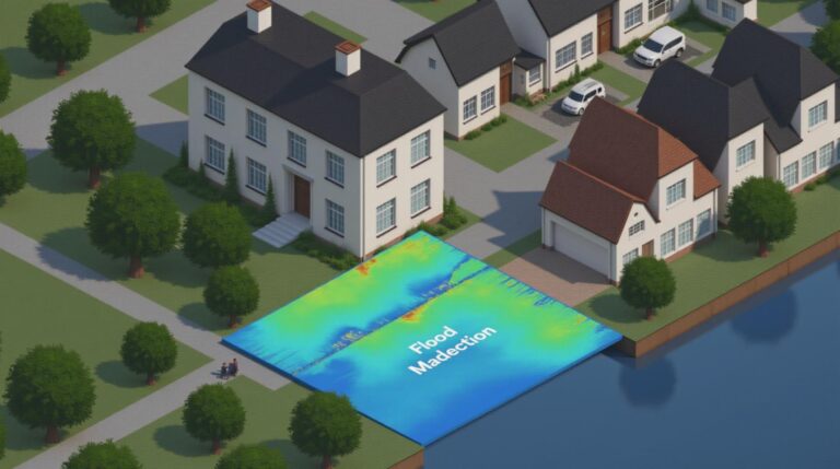
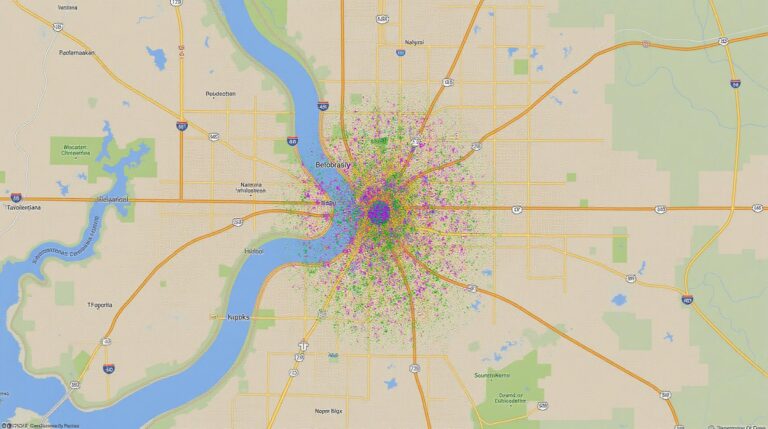
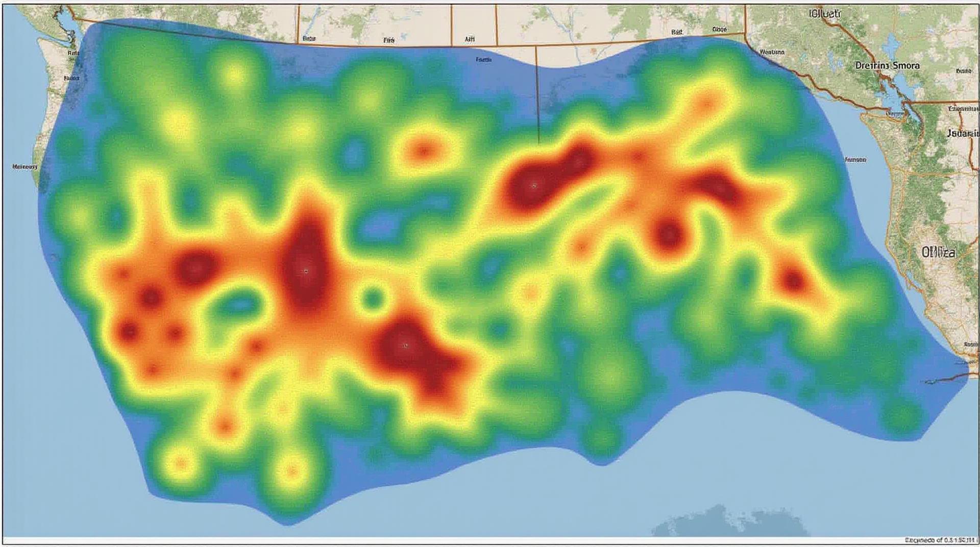
- Spatial Analysis & Modeling: GeoAI excels at analyzing geographic data to identify areas susceptible to specific risks. This includes predicting the trajectory of flooding from rainfall patterns, identifying high-elevation flood zones, or analyzing earthquake fault lines.
- Predictive Capabilities: By leveraging historical data, machine learning models, and real-time sensor feedback, GeoAI can forecast possible disasters and potentially prevent the outbreak of crises.
- Integration of Diverse Data Sources: GeoAI seamlessly combines data from various sources like satellite images, aerial surveys, weather patterns, historical records, social media posts, and even citizen science data to paint a more comprehensive picture of risk.
- Real-time Monitoring & Tracking: Technologies like IoT sensors and satellite imagery can be analyzed in real-time using GeoAI to get instant updates on disaster variables like weather patterns, water levels, and seismic activity.
Benefits of Implementing GeoAI for Disaster Preparedness
Implementing GeoAI for risk mapping offers a variety of significant benefits, accelerating preparedness efforts.
- Enhanced Resilience: Prioritizes resources where they are most needed, allocating them effectively to high-risk areas.
- Improved Decision-Making: Offers insight into risk zones and likely impact areas, enabling faster and more informed response strategies.
- Early Warning System: Using predictive models, GeoAI empowers us to issue timely alerts and notifications, increasing the chances of a timely and effective response.
- Strategic Resource Allocation: Helps identify the areas requiring the most support, diverting resources where they are most needed in a disaster scenario.
- Community Engagement: Increases public awareness and empowers communities to understand their own vulnerabilities and prepare accordingly.
Practical Applications of GeoAI in Disaster Preparedness
The potential applications of GeoAI extend far beyond risk-mapping. Here’s how it is shaping disaster preparedness globally:
- Evacuations and Sheltering: Optimizes evacuation routes based on real-time traffic and congestion patterns, ensuring faster and safer movement of people to safe zones.
- Disaster Relief Logistics: Provides efficient allocation of supplies and resources, enhancing the speed and effectiveness of relief aid deployments.
- Early Warning Systems: Uses predictive models to forecast vulnerable areas based on weather patterns, building terrain, and other factors, enabling necessary action and timely evacuation.
**Important Resources for Getting Started:**
- Google Earth Engine: Offers free and easy-to-use tools for processing satellite data and analyzing geographical features.
- Demography & Geography Data:** Access a wealth of environmental data like elevation, soil types, and climate information, critical for understanding and assessing vulnerability.
- disaster-aid.com: A website offering comprehensive resources about disaster response, preparedness, and management, with links to organizations and strategies.
With GeoAI’s ability to process vast amounts of location-based data and identify dangerous patterns in real-time, organizations and governments can shift from reactive to proactive approaches to disaster preparedness. Understanding and addressing the risks of a disaster beforehand can dramatically reduce loss of life and property.
Check similar topics:
FAQ: GeoAI Disaster Preparedness
This FAQ section tackles common questions about geoAI and disaster preparedness. From availability to formats and usage, we aim to provide clear and informative answers.
What is geoAI disaster preparedness?
GeoAI disaster preparedness encompasses the strategic use of geospatial technologies and artificial intelligence (AI) to enhance our ability to predict, mitigate, and respond to disasters. These tools use real-time data, advanced algorithms, and predictive models to analyze historical data, current conditions, and risk factors to develop actionable pre- and post-disaster plans.
Remember that geoAI is a powerful tool. Combining it with best practices and community involvement is crucial for responsible and effective disaster preparedness.
Is geoAI available for use?
- Yes, geoAI is available in various formats and systems. We offer:
- Open-source software libraries and platforms for developers
- Cloud-based platforms with accessible APIs for integration
- User-friendly web applications for public access
How do I access geoAI services for disaster preparedness?
For more information, visit our dedicated GeoAI for Disaster Preparedness page on our website:
What are some common uses of geoAI in disaster preparedness?
- Risk Assessment & Mapping: Develop detailed risk maps, identifying vulnerable areas, based on factors like flood plains, earthquake zones, or wildfire risk areas.
- Rapid Emergency Response & Coordination: Coordinate relief efforts by mapping damage, identifying impacted areas and directing resource allocation.
- Disaster Forecasting: Generate efficient predictions of potential disaster scenarios and utilize these insights to summon for necessary preparation.
- Resource Management & Allocation: Optimize the distribution of supplies and personnel to impacted areas.
Where can I get more information on geoAI disaster preparedness?
Visit our dedicated page dedicated to GeoAI for Disaster Preparedness at www.techgeo.org
What are the next steps to getting started with geoAI for your Emergency Plan ?
Continue to leverage the expertise of this information and always be prepared.
Conclusion
GeoAI offers transformative potential in disaster preparedness. By integrating geoAI and AI into our public safety infrastructure, we can strengthen our response to emerging threats, increase our community’s resilience, and pave the way for a safer, more informed future.
Take action to utilize tech geo for disaster preparedness and become part of a safer future. Don’t wait; explore the knowledge at www.techgeo.org