AI in Geospatial Data Visualization – Interactive Maps
# AI in Geospatial Data Visualization: Interactive Maps
Unlocking the Power of GeoAI for Engaging Maps
What is Geospatial Data Visualization?
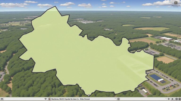
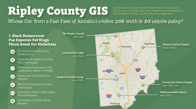
Geospatial data is data that is linked to geographic context. These data sets are rich in information and can be used to gain insights into the world around us. Geospatial data visualization uses maps and other graphical representations to make this data more accessible and understandable.
Today, the power of geospatial data is at its peak with the advent of Artificial Intelligence (AI). Through AI, location-based information can be used for a variety of purposes, from traffic management to disaster prevention and resource exploration. This has naturally led to the development of interactive maps powered by AI!
How Can AI Enhance Geospatial Data Visualization?
AI brings a whole new level of interaction and dynamism to the world of maps.
* **Intelligent Data Analysis:** AI transforms raw geospatial data into meaningful insights by automatically detecting patterns, trends, and anomalies that are otherwise hidden.
* **Real-Time Updates:** AI can process data from live feeds and sensors, making maps and visualizations function dynamically. Imagine live traffic updates overlaid on a street view!
* **Personalized Experience:** AI can curate maps based on individual preferences and needs, highlighting specific information users would find relevant. It can also automatically generate custom maps.
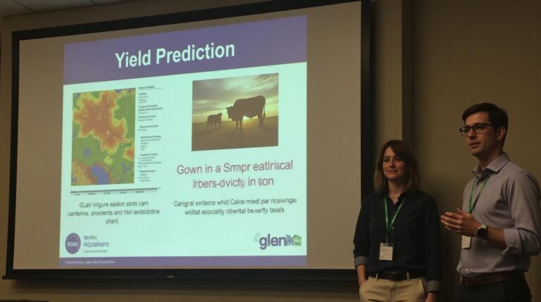
* **Improved Prediction:** Using machine learning algorithms, AI can build predictive models for events such as floods, traffic congestion, and even pandemics.
Key Features and Benefits of AI-powered Interactive Maps:**
Here are some of the key features and benefits of using AI-powered interactive maps:
* **Real-Time Insights:** AI instantaneously analyzes changing geospatial data. For example, AI recognizes the traffic patterns based on real-time gps data and provides dynamic mapping solutions.
* **Enhanced Interactivity:** Users can explore the map and interact with filtered data points, geographically based filters, and other features, uncovering deeper insights.
* **Automated Deep Learning Tools and Analysis:** AI delivers automatic insights through tedious manual analysis, capable of detecting anomalies with high accuracy.
* **Immersive Storytelling:** AI creates visual storytelling narratives through dynamic maps, making complex data understandable for a wider audience.
* **Increased Accessibility for Data Exploration:** AI-powered maps reduce cognitive load, making geospatial data accessible even for those without prior expertise.
Practical Applications of AI in Geospatial Data Visualization:
The applications of AI-powered interactive maps are expanding rapidly in various industries:
* **Disaster Response:** AI-powered maps can locate and visualize affected areas quickly during a natural disaster, enabling swift and efficient response.
* **Urban Planning:** AI can analyze citizen mobility and generate smart maps for traffic management and infrastructural plans.
* **Environmental Protection:** AI is used to monitor deforestation, identify pollution hotspots, and predict climate change-related scenarios.
* **Economic Development:** AI can optimize agricultural resource allocation, provide insights into real estate trends, and even respond to market fluctuations based on spatial analysis.
* **Healthcare and Healthcare Management:** Local resource distribution, disease outbreak mitigation, and patient care mapping leverage AI for stronger healthcare management decisions.
### Resources to Learn More About AI in Geospatial Data Visualization:
**Organizations:**
* **Geospatial Data Institute (GDI):** [https://www.geospatial.org/](https://www.geospatial.org/)
* **DroneAnalyst:** [https://www.droneanalyst.com/](https://www.droneanalyst.com/)
* **The GeoAI Community:** [https://www.geospatialai.io/](https://www.geospatialai.io/)
**Research Papers:**
* **[Find Recent Research Papers on GEO AI](https://ieeexplore.ieee.org/)**
**Software and Platforms:**
* **Google Earth Engine:** [https://earthengine.google.com/](https://earthengine.google.com/)
* **ArcGIS Pro:** [https://www.esri.com/en-us/software/arcgis-pro](https://www.esri.com/en-us/software/arcgis-pro)
By leveraging these resources and the power of AI, we can embark on a new era of empowered spatial analysis and data visualization, unlocking the full potential of geospatial data.
Check similar topics:
FAQs
What is GeoAI Interactive Maps?
GeoAI Interactive Maps is a cutting-edge platform that utilizes artificial intelligence (AI) to provide insightful, interactive maps accessed through your web browser. Leveraging powerful geoanalytic algorithms, it allows users to explore, understand, and visualize geographic data with precision. We aim to provide seamless exploration, valuable data insights and intuitive analytical tools for your spatial inquiries.
Is GeoAI Interactive Maps available for anyone?
Currently, GeoAI Interactive Maps is available to web users, and access is granted through our user interface. We are continuously optimizing the platform, so please stay tuned for new applications in the future!
What formats does GeoAI Interactive Maps use?
- Standard Web API Integration – We seamlessly integrate into your existing web applications.
- Customizable Maps – Tailor your experience with custom map designs and elements.
- Advanced Export Features – Easily download and analyze data in various formats (PDF, CSV).
How do I use GeoAI Interactive Maps?
- Sign Up: Register with our platform.
- Start Exploring: Choose from our pre-built datasets or use basemaps for customized projects
- Explore, Filter, Then Analyze: Use the range of tools and filters at your fingertips.
What are the benefits of using GeoAI Interactive Maps?
The value of GeoAI Interactive Maps lies in exploiting the power of AI to empower your spatial intelligence. Discover:
- Improved Spatial Understanding
- Efficient Data Analysis and Visualization
- Real-Time Insights for Business and Research
- Accessibility, Even Without Technical Expertise
Importance and Actionable Insights
GeoAI Interactive Maps represents a significant step forward in utilizing the potential of geospatial information for diverse applications. It provides tools for:
* **Real-time Data Visualization:** Leaders in business and research can grasp complex information with ease, making it invaluable for decision making.
* **Predictive Analysis:** Groundsights empowers businesses to better predict trends, risks, and opportunities in foresight businesses and policy decisions.
* **Enhanced Communications:** GeoAI frameworks facilitate effective communication through clearer, more accessible presentations of geographical data.
By embracing GeoAI Interactive Maps, users can unlock greater understanding of complex datasets, enhance their decision-making processes, and make more informed judgments.


