GeoAI for Smart Urban Development – Land Use Planning
GeoAI for Smart Urban Development: Unlocking the Power of Spatial Data
As urban centers stretch across the globe, the pressure to develop sustainably and efficiently intensifies. Enter GeoAI, the cutting-edge technology revolutionizing land use planning. This blog post delves into the applications and potential of GeoAI to imagine and implement smart urban development.
Understanding Geospatial Data and GeoAI
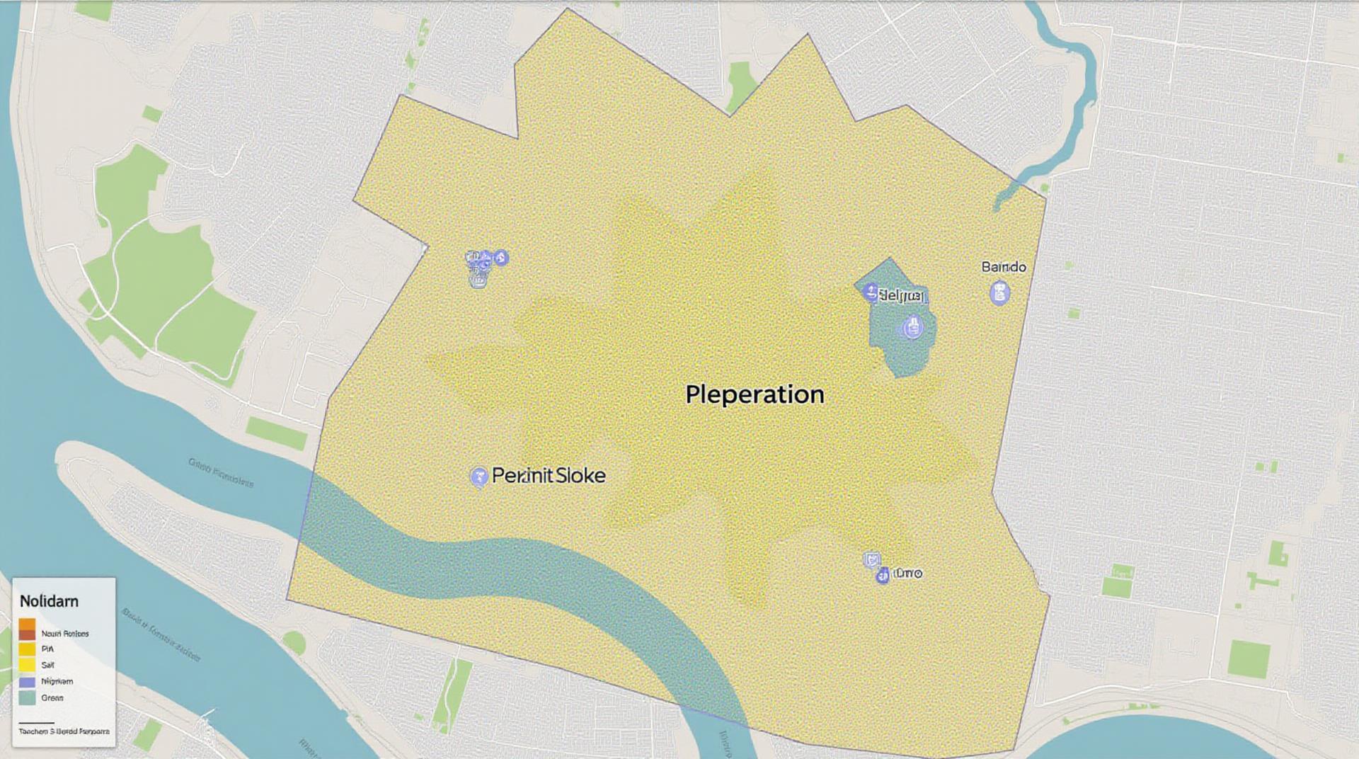
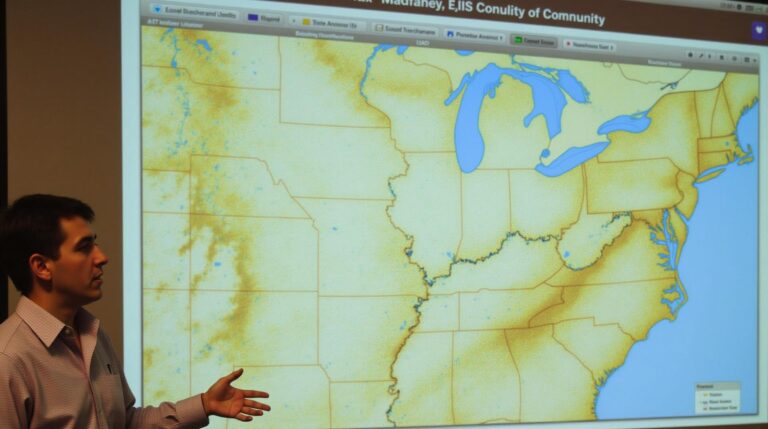
At its core, GeoAI leverages the power of artificial intelligence and geospatial data to drive better decision-making in urban planning. Geospatial data encompasses information about the location, position, and characteristics of various features, such as buildings, roads, parks, etc. GeoAI algorithms can analyze this data to reveal patterns, predict future trends, and inform strategic planning.
Key Features and Capabilities of GeoAI
- Machine learning: Identifies complex patterns and correlations in real-time, enabling precise zoning and land use modeling.
- Predictive analysis forecasts future land use changes, optimizing resource allocation and infrastructure planning.
- Geographic visualization techniques: Allows for interactive 3D models and simulations, allowing stakeholders to understand the implications of various planning decisions.
- Automated data processing: Automates the ingestion, cleaning, and analysis of massive geospatial datasets, streamlining and enhancing efficiency in urban planning processes.
Benefits of Implementing GeoAI in Land Use Planning
The integration of GeoAI into land use planning promises numerous benefits, including:
- Enhanced effectiveness and efficiency: Faster identification and evaluation of optimal land use choices.
- Improved resource optimization and utilization: Enhanced efficiency in the allocation of public investments for infrastructure and services.
- Reduced environmental impact: Reduced urban sprawl and maximized optimization of green spaces, leading to a more sustainable urban environment.
- Enhanced citizen engagement and participation: Interactive maps and visualization tools empower citizens to engage and provide feedback on diverse planning solutions.
Practical Applications of GeoAI
GeoAI’s applicability reaches across various sectors in smart urban development. Some examples include:
**1. Prioritizing Sustainable Transportation:**
- Identify optimal locations for bike lanes and pedestrian walkways with data-driven analysis of traffic patterns and demographic factors.
- Develop efficient traffic management systems using real-time data to minimize congestion and optimize traffic flows.
**2. Optimizing Health and Wellness Initiatives:**
- Identify areas with higher accessibility to parks and green spaces for improved wellness.
- Allocate resources and funding for new healthcare facilities and emergency services based on the predicted needs in different neighborhoods.
**3. Smoother Infrastructure Expansion:**
- Determine the most efficient location to build new homes, offices, and other types of development.
- Analyze the feasibility of building new bridges, water treatment facilities, and other infrastructure projects.
Resources for Learning More about GeoAI
- GeoAI World Congress: An annual international event dedicated to showcasing the latest trends and technologies in Geospatial Artificial Intelligence.
- Open GeoAI Research Platform: Provides access to research papers, datasets, and open-source code related to GeoAI.
- Tensor Flow Hub – GeoAI Examples: showcases examples for different platforms including TensorFlow and open-source dataset examples.
As the role of AI in urban development expands, geoAI emerges as a foundational concept. This enables cities to become more resilient, just, and sustainable for present and future generations.
Check similar topics:
FAQs – GeoAI Land-Use Planning
We understand you have questions about geoAI-land-use planning, so we’ve put together a list of common inquiries and answers.
Availability
GeoAI-land-use planning data and models are rapidly becoming more accessible. We offer an free research dataset which you can explore and use to get familiar with potential applications.
We also offer services for custom development and implementation based on your needs and budget.
Use Cases
- Urban Planning and Design: Identify sustainable housing locations in context of climate change, predict future land use, simulate urban form changes with minimized environmental impacts.
- Environmental Management: Analyze forests for growth patterns and plan for conservation. Analyze changes in agricultural areas to combat deforestation or erosion.
- Infrastructure Development: Optimize transportation planning routes based on infrastructure accessibility, allow for effective resource allocation for advancements in utilities and different infrastructure projects.
Formats and Data
GeoAI-land-use planning focuses on building datasets suited to different applications. Some include:
- High-resolution satellite imagery: Data Acquisition & Software API utilizes it for diverse applications including building extraction and analyzing land use patterns.
- 3D point-cloud data: Data Acquisition & Software API collects detailed terrain information to support diverse applications: such as resource mapping and building monitoring.LiDAR data: Data Acquisition & Software API provides precise elevation data for detailed analysis of landscape features and urban form.
Integration and Accessibility
GeoAI-land-use planning benefits from the accessibility of powerful tools like Google Earth Engine and others. Leveraging this technology you can integrate your dynamic models/data into relevant platforms.
Why is GeoAI-land-use Planning Important?
GeoAI-land-use planning is essential for addressing land affordances within a changing environment. By equipping stakeholders with the knowledge to make informed decisions, geoAI-land-use planning offers the following key advantages:
- Sustainability: Optimize land use to minimize environmental impacts and promote sustainable development.
- Maximise Production: Enhance food security, optimize resource allocation for sustainable and efficient land use, and facilitating industrial development.
- Improved Decision-Making: Provide data and insight to make informed decisions related to land development, zoning, urban planning, and infrastructure development.
GeoAI-land-use planning presents a powerful opportunity for a more sustainable and equitable future. Through actively utilizing this technology, we can better respond to land use challenges and weave into structured planning processes that ensure our cities and rural spaces evolve responsibly.
Let’s partner to create a future where technology and humanity work in harmony to shape a sustainable future. Find out how on our website!
This FAQ section provides a foundation for building a more effective and engaging user guide for the GeoAI-land use planning section of your website.
Remember to carefully consider any legal or ethical ramifications before implementing any innovations or technology that incorporates AI and standards in planning and use.

