GeoAI for Smart Agriculture – Weather Impact Analysis
GeoAI for Smart Agriculture: Weather Impact Analysis
The agricultural landscape is evolving rapidly, with innovations in technology driving a more sustainable and efficient future. GeoAI has emerged as a game-changer, offering farmers and agricultural experts powerful tools for decision-making that harness the Earth’s intricate weather patterns.
What is GeoAI and Weather Impact Analysis?
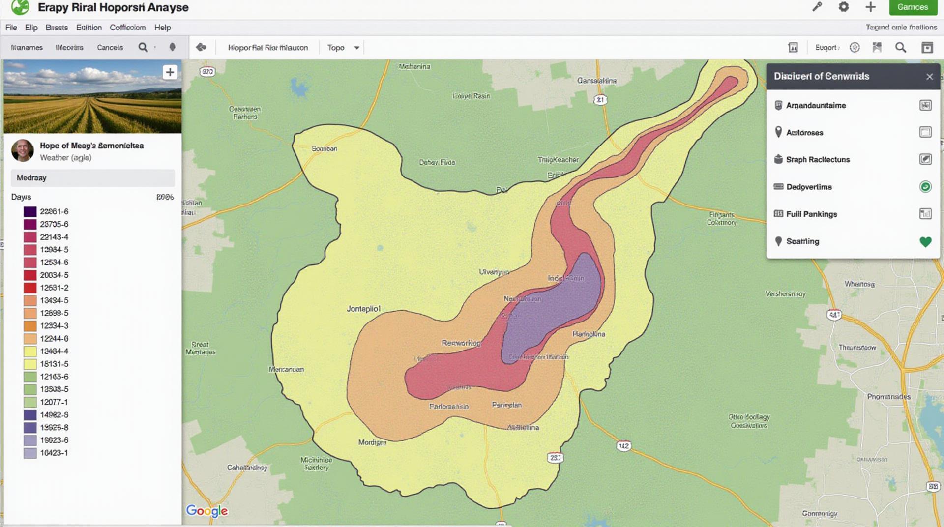
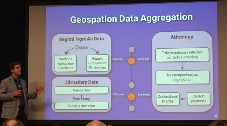
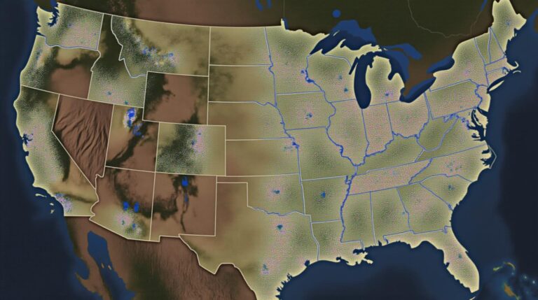
GeoAI, or Geospatial Artificial Intelligence, leverages the power of AI to analyze and interpret geospatial data. In the context of agriculture, GeoAI analyzes weather patterns, soil properties, plant characteristics, and historical data to make informed predictions about vegetation growth, disease outbreaks, and crop yields. This data analysis ultimately helps users understand and respond to the myriad of challenges posed by the dynamic nature of weather.
Key Features of GeoAI for Weather Impact Analysis:
- Spatial Forecasting: GeoAI applications utilize complex models to predict future weather events for specific locations, allowing farmers to tailor their resource allocation and planting schedules accordingly.
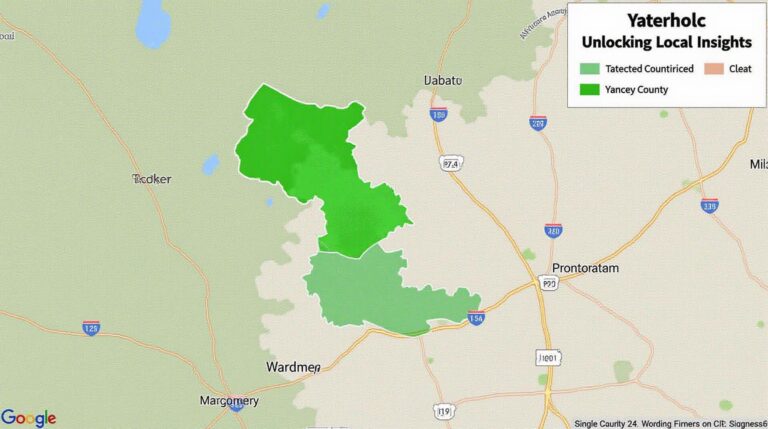
- Data-Driven Decision Making: The ability to integrate various geospatial datasets, including meteorological data, satellite imagery, and soil profiles, enables farmers to reason about crop health and environmental conditions like soil moisture or frost risk.
- Optimization of Input Resources: Access to real-time weather information empowers farmers to optimize water and fertilizer applications. This optimizes input use to conserve resources and reduce environmental impact.
- Crop Health Management & Disease Prediction: GeoAI applications help pinpoint areas of crop vulnerability, enabling early identification and management of diseases and pest outbreaks.
- Personalized Insights: AI-powered platforms tailor effective recommendations to individual farms’ specific characteristics, providing flexibility and insights.
Benefits of GeoAI for Smart Agriculture:
Utilizing GeoAI for weather impact analysis unlocks numerous benefits for modern agriculture:
- Increased Crop Yields:** By predicting and coping with extreme weather, farmers can optimize crop growth cycles, resulting in higher yields.
- Reduced Environmental Impact: Precise resource allocation, awarenes of water filtration, and identification of disease threats allows for a reduction in harmful pesticides and wasteful resource consumption.
- Enhanced Financial Stability: The ability to predict crop variability and pest outbreaks allows farmers to better manage their operations and minimize post-harvest losses and price volatility.
- Improved Sustainability: The promotion of sustainable agricultural practices and resource management is facilitated through informed decision making.
- Global Access to Knowledge: Digital platforms, data collection experiences, and expert insights can improve agricultural knowledge transfer within communities, particularly in remote areas.
Practical Applications of GeoAI for Weather Impact Analysis:
GeoAI’s potential extends to various applications in modern agriculture, including:
- Precision Farming: Deploying sensors and GPS-equipped machinery to collect real-time soil data and deliver targeted nutrients and water management.
- Irrigation Scheduling: Optimizing water use based on specific soil moisture content and weather forecasts.
- Disease Monitoring and Control: Early detection of diseases and pests through analysis of symptom data and weather condition trends, facilitating timely intervention.
Resources for Further Exploration:
The world of GeoAI for farming is constantly expanding!
These are just a few examples of how companies and organizations are pushing the boundaries of GeoAI. You can find detailed resources, case studies, and community forums exploring this exciting area at these platforms.
As the agricultural landscape continues to evolve, GeoAI will remain a critical tool for achieving greater efficiency and sustainability. By embracing the potential of GeoAI, farmers and agricultural experts can move towards a more data-driven future in which weather changes are not a roadblock, but an intelligent advantage.
Check similar topics:
Frequently Asked Questions
Looking for answers about geoAI-Weather Impact? Here are some common questions addressed below.
Availability
We make geoAI-Weather Impact available to everyone across a wide range of platforms. For immediate access and to explore the most current version, visit www.techgeo.org/.
In the future, we plan to expand availability to incorporate diverse data sources, platforms, and projects.
Formats
- We support different data formats so that you can integrate geoAI-Weather Impact easily into your workflow.
- More information on available data formats can be found here.
Usage
GeoAI-Weather Impact provides flexible tools for understanding weather’s impact on your projects.
Enjoy exploring its capabilities.
Importance
GeoAI-Weather Impact plays a significant role in shaping a future with more informed decision-making in crucial areas.
Actionable Insights
By understanding the impact of geoAI-Weather Impact, individuals and organizations can:
- Reduce risk in infrastructure development, disaster preparedness, and climate change mitigation.
- Improve resource allocation for optimal efficiency and conservation.
- Make data-driven decisions for more impactful interventions in various fields.
Let’s unleash the power of geoAI for a sustainable and equitable future.

