GeoAI for Smart Disaster Response – Resource Allocation
GeoAI for Smart Disaster Response: Streamlining Resource Allocation
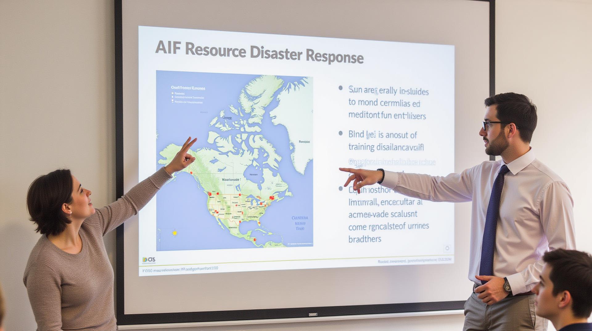
Facing a crisis, whether it’s a natural disaster or a localized epidemic, is a dreadful experience. But in times of need, technology can be a powerful force, facilitating faster, more efficient response. Enter GeoAI, a transformative approach to disaster response leveraging AI techniques and location-based data for better resource allocation.
What is GeoAI in Disaster Response?
GeoAI, or Geographic Artificial Intelligence, refers to using analytics and AI technologies to delve into complex spatial and temporal data related to disasters. This process involves processing geographic information systems (GIS) data, real-time sensor data, and predictive models. By capturing and analyzing this information, GeoAI assists in mapping areas most impacted by a disaster, identifying critical demands for resources, and optimizing their distribution.
Key Features of GeoAI for Disaster Response
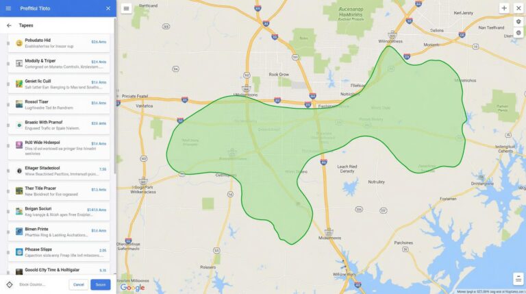
* **Real-Time Mapping and Analysis:** GeoAI tools create interactive maps displaying the epicenter of a disaster, affected zones, and populations requiring assistance.
* **Predictive Modeling:** GeoAI can learn from historical data to analyze potential natural phenomena, predicting areas most susceptible to a disaster and identifying geographic corridors for evacuation.
* **Optimal Resource Allocation:** GeoAI can be used to forecast resource needs (personnel, shelter, medical supplies, etc.) for a specific area, optimizing resource allocation based on projected requirement and available assets.
* **Enhanced Communication and Collaboration:** GeoAI helps central agencies coordinate response efforts across jurisdictions and communicate issues with affected populations using real-time data and appropriate visual language.
Benefits of GeoAI for Disaster Response
* **Faster Response Time:** GeoAI engines can deliver vital information faster than traditional methods, allowing emergency services to act before casualties climb.
* **Increased Efficiency:** By predicting demand and optimizing distribution, GeoAI helps allocate adequate resources to most impacted areas, minimizing waste and delaying crucial interventions.
* **Improved Communication and Citizen Engagement:** Real-time interaction visualized through GeoAI-powered apps enables real-time updates and encourages community participation through emergency drills and reporting of damage.
* **Lowered Costs:** Optimized resource allocation delivered through GeoAI frameworks minimizes wasted supplies and minimizes delays, guaranteeing better cost-effectiveness for disaster preparedness efforts.
Practical Applications of GeoAI in Disaster Response
* **Wildfires:** AI-powered technology helps to predict fire spread, identify high-risk zones, and deploy firefighting resources efficiently in real-time.
* **Floods:** GeoAI algorithms can anticipate areas susceptible to flooding, dynamically identify vulnerable populations needing assistance, and direct rescue efforts accordingly.
* **Pandemics:** GeoAI assists in identifying potential infection hotspots, optimizing medical supply distribution, and minimizing the risk of rapid spread through targeted quarantines and healthcare resource allocation.
* **Earthquake Detection and Monitoring:** GeoAI can be employed to predict earthquake locations more accurately, providing critical information to alert individuals and communities at risk, facilitating resource dispatch and minimizing damage.
Resources for Learning More
* **United States Geological Survey (USGS):** https://www.usgs.gov/
* **The Natural Hazards Center:** https://www.whoi.edu/centers/natural-hazards-center
Check similar topics:
GeoAI Resource Allocation FAQs
This FAQ section covers common questions about geoai-resource-allocation at www.techgeo.org.
What is GeoAI Resource Allocation?
GeoAI Resource Allocation is a powerful technology that uses artificial intelligence (AI) to optimize the allocation of physical and digital resources. It’s crucial for efficient and strategic deployment of these resources across various geospatial domains, such as transportation networks, power grids, and resource management.
How is GeoAI Used in Resource Allocation?
GeoAI resource allocation utilizes AI algorithms to analyze large datasets, identify patterns, and simulate scenarios. This enables businesses and organizations to:
- Optimize the allocation of resources based on location, demand, and cost.
- Predict resource demands to minimize downtime and maximize efficiency.
- Improve decision-making by providing real-time insights and predictive analytics.
- Identify potential bottlenecks and risks in resource allocation.
What Formats Are Available for GeoAI Resource Allocation?
We support various data formats for GeoAI Resource Allocation.
- .csv files
- .json files
- .geojson files
Who Can Benefit From GeoAI Resource Allocation?
GeoAI Resource Allocation is valuable for a wide range of sectors, including:
- Government agencies
- Transportation companies
- Utility companies
- Retailers
- Logistics companies
Where Can I Learn More About GeoAI Resource Allocation?
What are the Benefits of GeoAI Resource Allocation?
GeoAI Resource Allocation offers numerous benefits, including:
- Reduced Costs
- Enhanced Resource Planning
- Improved Decision-Making
- Increased Efficiency
Conclusion
GeoAI Resource Allocation is changing the way we approach resource management and optimization. By leveraging the power of AI, businesses and organizations can make more informed decisions and achieve greater efficiency, saving time and money. Visit www.techgeo.org today to learn more about GeoAI Resource Allocation and how it can benefit your organization!


