AI in Geospatial Data Visualization – Interactive Maps
AI in Geospatial Data Visualization – Interactive Maps
The world is brimming with data—and a vast majority of it resides within the realm of geospatial contexts. Analyzing this data, however, requires intricate tools and effective techniques for effective presentation. Enter Artificial Intelligence (AI), specifically its prowess in geospatial data visualization, that’s bringing about interactive maps that provide deeper insights and user-friendly understanding.
What are Interactive Maps?
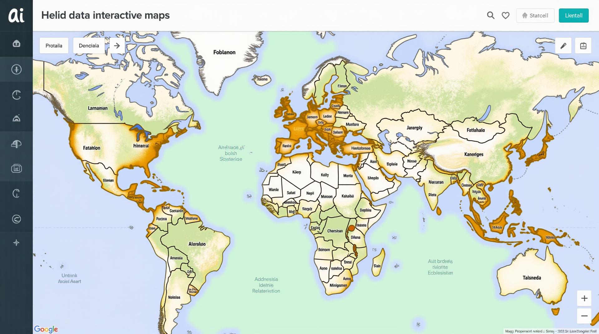
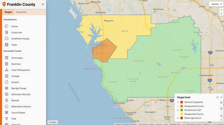
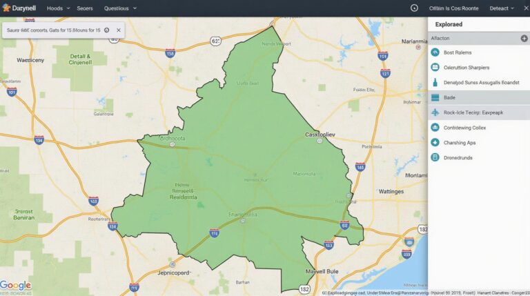
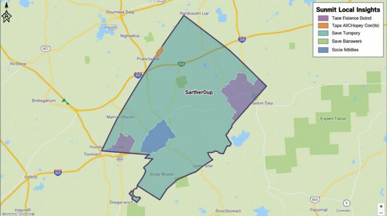
Interactive maps offer users a dynamic and engaging way to explore geographical datasets. They go beyond static charts and graphs, allowing users to move, zoom, pan, and interact with layers of information. The power of AI seamlessly weaves into this interaction, transforming the map experience.
Key AI Features in Geisospatial Data Visualization
- Smart Data Selection: AI algorithms excel at sifting through massive geospatial datasets, automatically selecting relevant aspects for visualization.
- Pattern Recognition: AI can identify hidden patterns within datasets, revealing meaningful trends and insights.
- Outliers Detection and Analysis: AI expertly highlights outliers, anomalies, and potential triggers in geographical data, enhancing data understanding.
- Automated Anomalies Mapping: AI can automate the process of mapping where anomalies are occurring. This helps users quickly analyze and address specific locations.
The Benefits of AI in Geospatial Data Visualization
The integration of AI in geospatial data visualization offers a curveball to traditional approaches:
| Insightful Performance: AI enhances the understanding and interpretation of complex datasets, revealing insightful patterns quickly. | Automated Analysis: AI automates analysis, freeing up analysts for higher-level tasks. |
The benefits continue:
- Improved Accessibility: Complex geographic data becomes understandable for anyone with an interactive interface.
- Enhanced Decision-Making: AI-driven insights empower better-informed decision-making across various domains.
- Increased Efficiency: The automation of data analysis processes saves significant time and resources.
Practical Applications of AI in GeoVisualization
AI is establishing itself across numerous geospatial applications:
* **Traffic and Infrastructure Management:** AI analyzes traffic patterns and road conditions, optimizing transportation infrastructure.
* **Urban Planning and Development:** AI assists in analyzing building density, assessing flood risks, and predicting urban sprawl.
* **Environmental Monitoring & Disaster Response:** AI analyzes satellite images, real-time data, and sensors to monitor sedimentation, wildfire progression, and emergency situations.
* **Healthcare & Social Sciences:** AI analyzes demographic data, maps disease outbreaks, and aids in targeted healthcare interventions.
Resources You Can Explore
Interested in diving deeper? Consider exploring these resources:
**Conclusion**
AI is revolutionizing geospatial data visualizations. By incorporating AI into geospatial data, we can unlock vast amounts of information and create a more interconnected world, with better insights into our environment and future. The evolution of interactive maps powered by AI opens doors to predictions, easy understanding, and saving lives.
Check similar topics:
Frequently Asked Questions
Availability
geoai-interactive-mapping is available for both public and private use. Please check our documentation for more details on pricing and licensing options.
We are committed to ensuring accessibility to our tools and services.
Formats
Currently, geoai-interactive-mapping primarily supports Shapefile and GeoJSON data formats. We are constantly evolving and expanding our support for different formats in order to provide a wider range of options for your projects.
Usage
Our platform simplifies the creation, exploration, and sharing of geographic data. You can easily:
- Visualize complex datasets with interactive maps and diagrams.
- Explore spatial relationships between different geographic objects.
- Generate diverse analytical insights by applying dynamic spatial analysis tools.
- Collaborate and share your research and data with the world.
Conclusion
Geographic Artificial Intelligence (GeoAI) opens up exciting possibilities for understanding and managing complex data. geoai-interactive-mapping provides a user-friendly, powerful, and flexible platform for enhancing spatial analysis and visualization. Utilizing this tool can help unleash data potential and assist in decision-making through insightful and dynamic analysis of geographic data.

