AI in Geospatial Data Mining – Trend Analysis
AI in Geospatial Data Mining – Trend Analysis
The world of data visualization is experiencing a seismic shift, with artificial intelligence (AI) at its forefront. Geospatial data mining, a discipline that unveils patterns and insights in spatial data, is profoundly transforming the landscape through the power of AI.
Exploring the Intersection of Geospatial Data Mining and AI
GeoAI is a nascent field, blending the strengths of geographical locations and AI algorithms to offer unparalleled analysis capabilities. Geographical Information Systems (GIS) users can leverage AI to identify and extract complex patterns from large datasets that were previously statistically unsolvable.
Key Features of AI in Geospatial Data Mining
- Machine Learning: Enables advanced pattern detection, predictive modeling, and anomaly detection in geospatial data dynamics.
- Natural Language Processing (NLP): Captures, analyzes, and interprets geospatial data through language, enabling better understanding and interpretation.
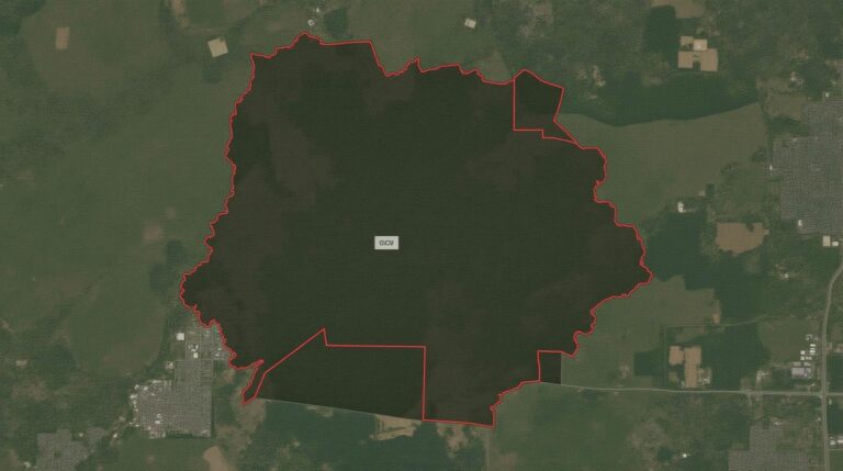
- Computer Vision: Analyzes sat images, aerial photography, and LiDAR data automatically, yielding insights like land-cover changes.
- Big Data Processing: Handles colossal geospatial datasets effectively using AI frameworks like Apache Spark and Hadoop.
Benefits of AI in Geospatial Data Mining
The application of AI in geospatial data mining opens up a world of opportunities and provides answer to sophisticated Questions like:
- Improved Risk Management: AI predicts environmental disasters like floods or forest fires more accurately, leading to smart planning and mitigation measures.
- Enhanced Construction and Infrastructure Planning: AI algorithms optimize infrastructure development, ensuring efficient resource allocation and minimizing environmental impact.
- Targeted Marketing and Customer Segmentation: Businesses can leverage AI to personalize marketing campaigns based on geospatial based demographics and behavior.
- Efficient Urban Planning: AI helps to study urban development and traffic flow for better urban planning decisions.
- Advanced Environmental Monitoring: AI systems identify changes in land use and analyze environmental data, facilitating conservation efforts.
Resources and Tools for Leveraging AI in Geospatial Data Mining
Ready to dive into the world of GeoAI? Explore the following resources to learn more:
- ArcGIS Developer Platform: Offers advanced geospatial API with machine learning capabilities
- Google Cloud Platform (GCP) AI for Geospatial: Provides a wide selection of machine learning algorithms tailored for geospatial datasets.
- IBM Watson GeoAnalytics: A comprehensive platform for spatial data analytics with AI insights.
- Kaggle Earth Science Competition (Participation information): Great for exploring geospatial data and AI competitions.
The Future of Geospatial Data Mining with AI
The future of geographic data mining is brimming with potential. As the ability of AI to process and analyze an ever-growing volume of data improves, we can expect:
- More Precision in Predictions and Forecasts: , leading to more informed and proactive decision-making in countless sectors.
- Real-Time Data Processing Power: , enabling rapid analysis of constantly changing situations.
- Increased Accessibility to Geospatial Data:, democratizing geospatial analysis for talented entrepreneurs and researchers around the world.
GeoAI signifies a truly transformative force in the way we understand and interact with our planet. Stay tuned as the field continues to evolve beyond just predictions and reporting.
Check similar topics:
What is GeoAI Trend Analysis?
GeoAI Trend Analysis dives into geographic data to uncover emerging trends across diverse geographic scales. By analyzing satellite imagery, demographics, economic data, and more, it helps you understand how these factors interact, paving the way for informed decision making.
How is GeoAI Trend Analysis Offered?
At www.techgeo.org, we offer various readily available GeoAI Trend Analysis tools and resources to empower your decision making. Please browse our user-friendly platform:
What Formats are Supported?
We support a variety of popular data formats, ensuring seamless integration with your existing workflows:
- Shapefiles
- GeoJSON
- NetCDF
- CSV
Where can I learn more about GeoAI Trend Analysis?
We encourage you to explore our comprehensive resource library and join our vibrant community:
Why is GeoAI Trend Analysis Important?
GeoAI Trend Analysis provides a powerful advantage in today’s data-driven world. By harnessing the power of spatial intelligence, we gain deeper insights into complex issues from urbanization and climate change to security risks, population trends and economic shifts.
Get Actionable Insights with GeoAI Trend Analysis
GeoAI Trend Analysis empowers you to:
- Understand spatial patterns and predict future trends
- Identify areas for investment, expansion, or mitigation
- Develop strategies for urban planning and resource management
- Enhance crisis response and decision making
- Gain a competitive advantage in business and sustainability

