3 Funded Geospatial PhD & Postdoc Opportunities in Spain – November 2026
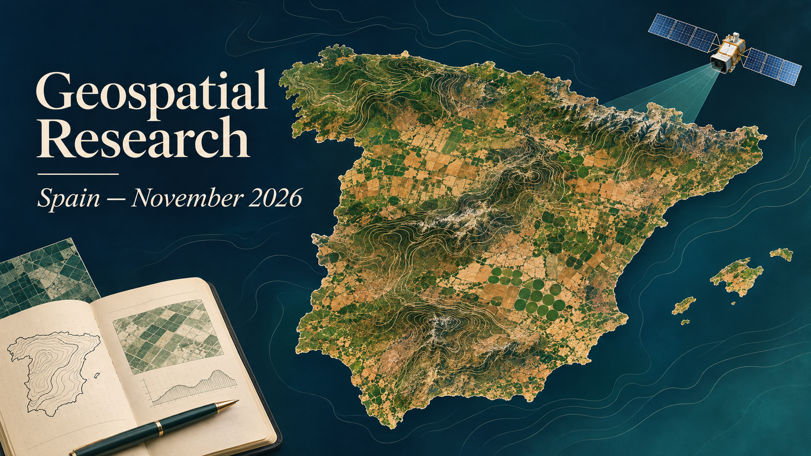
Geospatial PhD and postdoc opportunities in Spain November 2026: this roundup presents two funded doctoral calls and one salaried postdoctoral appointment, verified on 11 November 2026. The hosts are in Ávila, Moncada and Barcelona. Research themes range from geothermal digital twins and agricultural remote sensing to GIS-based interpretation of refugee settlements.
These are three distinct, specific research opportunities. The doctoral funding conditions differ: Salamanca’s call is conditional on the project award resolution, while CoverNuts advertises a four-year contract with indicative pay. The UPC postdoc states a gross annual salary. “Funded” does not imply that every applicant will be selected or that unstated costs are covered.
Calls may be amended or closed early. Each official source was accessible and appeared open when checked on 11 November 2026. Recheck the call, attachments and application form before applying.
Compare the three research opportunities
| Country | Level | Topic | Institution | Location | Funding/salary | Deadline | Application |
|---|---|---|---|---|---|---|---|
| Spain | PhD / predoctoral | GEOTWIN-ALIVE: shallow-geothermal digital twin | University of Salamanca | Higher Polytechnic School of Ávila, Ávila | Funded predoctoral employment; salary amount: Not specified. Call conditional on PID 2025 award resolution. Duration: Up to 4 years. | 15 November 2026; exact cut-off: Not specified in university call | View Call & Apply |
| Spain | PhD / predoctoral | CoverNuts: orchard water and energy balances using remote sensing | CIDE — Desertification Research Centre | Moncada, Valencia | Four-year contract; indicative salary approximately €22,000 gross/year Duration: 4 years. | Applications ongoing; calendar deadline: Not specified | View Call & Apply |
| Spain | Postdoc / R2 | CAMPS: geospatial analysis and spatial justice in refugee settlements | Universitat Politècnica de Catalunya (UPC) | Barcelona; full-time face-to-face work | €37,316.64 gross/year for a full-time position Duration: Initial financing: 4 years, 1 month and 18 days. | 16 November 2026 — officially extended | View Call & Apply |
Research profiles and verified conditions
1. GEOTWIN-ALIVE: shallow-geothermal digital twin — University of Salamanca
The University of Salamanca is recruiting for GEOTWIN-ALIVE, an advanced digital-twin project for efficient exploitation of shallow geothermal resources. The doctoral workplace is the Higher Polytechnic School of Ávila, under principal investigator Cristina Sáez Blázquez. Reference PREP2025-175046OB is a specific position in the university’s call, rather than a generic doctoral admission route. The annex lists geomatics, geoinformation, cadastral/geodetic and geospatial information technology engineering degrees. This makes it a relevant option for applicants connecting geospatial engineering with energy-resource research. The contract can run for up to four years; the call confirms employment funding but does not give an individual salary figure. It is expressly conditional on publication of the PID 2025 award resolution. Applications use the university’s electronic research-staff procedure, with the required doctoral admission or preadmission evidence. The university call closes on 15 November. Consult both its general conditions and the project annex on page 34.
University call page and application documents · Electronic submission procedure.
2. CoverNuts: orchard water and energy balances using remote sensing — CIDE — Desertification Research Centre
CoverNuts offers a doctoral project on how cover crops affect water and energy balances in almond and pistachio orchards. The research combines agricultural fieldwork with sensors, drones and satellite imagery, addressing evapotranspiration, soil moisture, irrigation efficiency and orchard microclimate. The host is CIDE in Moncada, Valencia, with the funded project identified as PID2025-176378OB-I00. Its attached official notice advertises a four-year contract and an indicative gross annual salary of approximately €22,000. Applications are described as ongoing, with no calendar closing date stated. Suitable backgrounds include agronomy, agricultural engineering, environmental sciences, soil science, remote sensing and biology. Applicants should explain how their field or quantitative experience would support measurements and spatial interpretation in Mediterranean agriculture. The stated initial route is to send a CV and short motivation letter to the two researchers listed on the official page. Further admissions conditions should be confirmed with the host.
Official CoverNuts notice with contract and funding details.
3. CAMPS: geospatial analysis and spatial justice in refugee settlements — Universitat Politècnica de Catalunya (UPC)
UPC’s CAMPS position connects GIS, remote sensing and comparative sociospatial research on long-term refugee settlements. The researcher will help interpret territorial transformation, habitability, resilience and spatial justice, contribute to the Living Atlas, and support publications and competitive proposals. This is an R2 appointment requiring a doctoral degree, with relevant fields including geography, urban planning, architecture, environmental sciences and geoinformation. The professional profile also names Python, FAIR data principles and research communication. It specifies Catalan, Spanish and English, and full-time face-to-face work in Barcelona. Salary is €37,316.64 gross annually for 37.5 hours weekly. Initial project financing is listed as four years, one month and eighteen days; the expected start is 14 December 2026. The individual call explicitly extends applications to 16 November, superseding the older date retained in its profile PDF. Use the linked official registration form and follow the university’s CV instructions.
How to prepare a PhD application
Begin with the specific project and its required admission route. Explain the scientific question that interests you, then connect it to a method or dataset you have actually used. A dissertation, field campaign or reproducible analysis can provide evidence of readiness, but identify your own contribution clearly. Separate skills you already possess from techniques you want to learn during the doctorate.
Prepare transcripts, a concise research CV and the requested motivation statement. Where a formal electronic procedure is required, an email to a supervisor does not replace it. Where an initial email is expressly requested, follow that route and ask about the subsequent selection and enrolment steps. Check qualification and doctoral admission requirements against the original call rather than assuming that a relevant degree is sufficient.
Funding deserves its own check. Distinguish gross salary from take-home pay, and an employer’s grant allocation from the amount paid to the researcher. Ask the host about any unstated tuition, fieldwork or mobility costs. Citizenship eligibility and visa sponsorship are Not specified in this roundup; do not infer them from an international research theme or an English-language advert.
How to prepare a postdoctoral application
A postdoc application should establish research independence and fit with the advertised project. Choose a few publications or outputs that demonstrate the relevant question, methods and contribution. Explain what you led, how you collaborated and how you evaluated the results. For a role combining technical and social research, show how spatial evidence supports an interpretation and where its limits lie.
Use the host’s required form, document format and language instructions. Review the professional profile alongside any later extension notice; an updated deadline can appear on the call page while an older PDF remains unchanged. Confirm any unclear employment, language or attendance condition with the recruiting institution. An initial project-financing period should not be read as an unconditional promise about future renewals.
For additional preparation, TechGeo’s GIS interview questions and answers can help you practise explaining methods. Select the questions relevant to your research instead of treating a general interview guide as an admissions checklist.
Verification and further reading
Only individual official calls with an active application period, current recruitment statement or explicit rolling applications were included. Earlier TechGeo academic coverage from the preceding 90 days was checked for matching URLs and title/host combinations. No reused call was found. Closed calls, unresolved deadline conflicts and opportunities whose official funding or current status could not be verified were left out.
For another regional research edition, see the France PhD and postdoc roundup for November. Its calls have their own deadlines and eligibility conditions. Follow TechGeo Geo-News for further research and geospatial career updates.