7 Current GIS, Remote Sensing & Land Surveying Jobs in Germany – November 2026
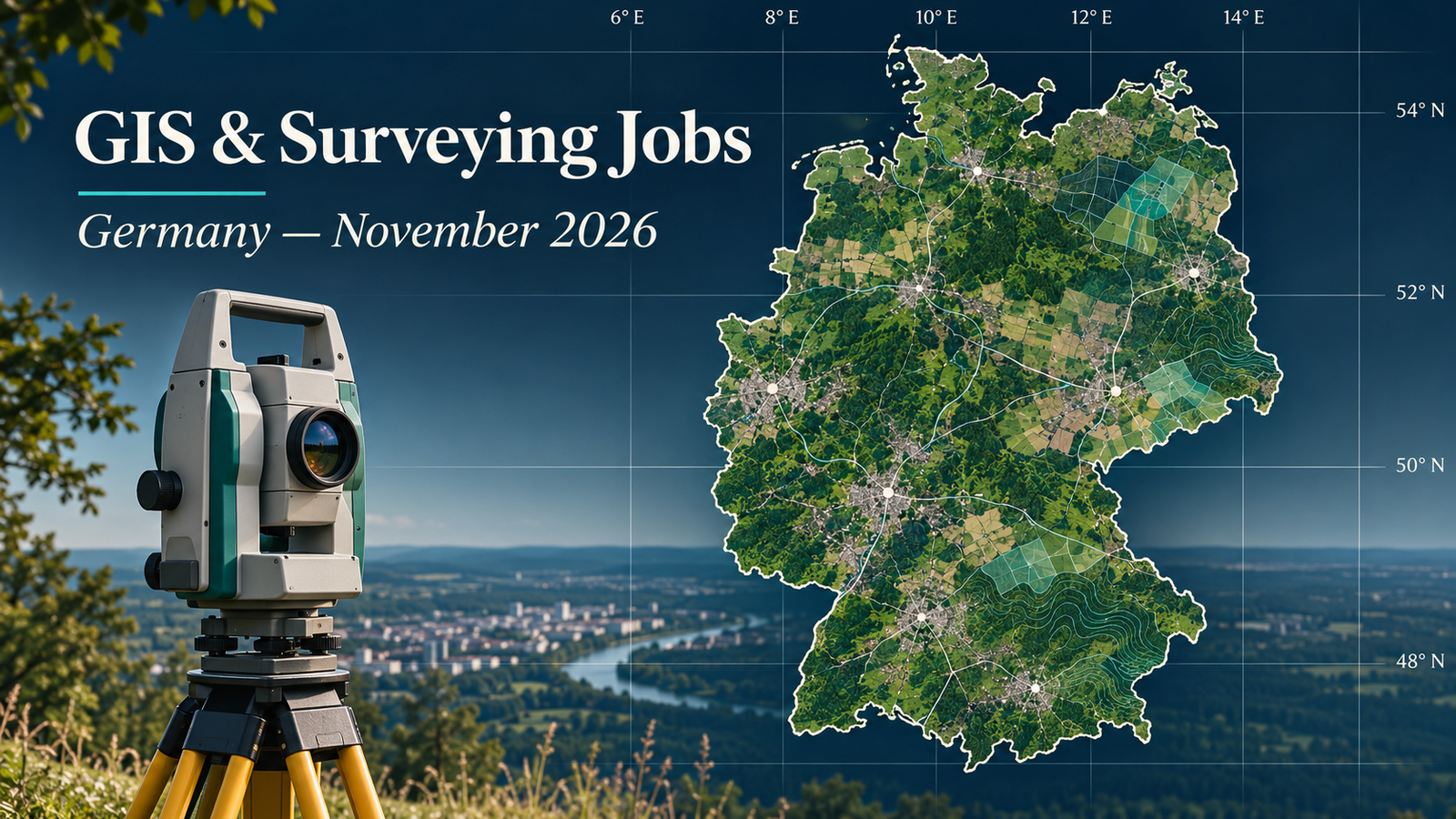
GIS jobs in Germany November 2026: this roundup presents seven verified vacancies in Göttingen, Osnabrück, Mainz, Heppenheim or Michelstadt, Kerpen, Calau and Potsdam. Every individual vacancy was checked on 13 November 2026. The mix includes municipal digital twins, heavy-rainfall risk, cadastral and 3D surveying, GIS infrastructure and Earth-observation knowledge transfer.
There are options for vocationally trained geomatics technicians, degree-qualified surveyors and GIS specialists, and applicants with relevant master’s training. This selection reflects the adverts that passed the checks, rather than a complete picture of Germany’s labour market. The remote-sensing position is focused on training and user engagement; it should not be mistaken for a satellite-processing engineering vacancy.
Prioritise the deadlines: Kerpen closes on 15 November, Osnabrück on 17 November, and the Hesse surveying role on 18 November. Göttingen advertises a December start, but applications close in November. Salary grades are reproduced as advertised; no cash salary is calculated from a grade. Kerpen’s inconsistent grade labels are flagged explicitly.
Job advertisements may be changed or closed by employers without notice. Every vacancy in this article was accessible and appeared open when checked on 13 November 2026. Always verify the details on the employer’s page before applying.
Compare seven current vacancies
| Country | Job title | Employer | Location | Level/experience | Work arrangement | Posting date | Deadline | Salary | Application |
|---|---|---|---|---|---|---|---|---|---|
| Germany | Geoinformation officer — Municipal digital twin | City of Göttingen | Göttingen, Lower Saxony | Relevant bachelor’s/FH degree with geoinformation focus | 39 hours/week; temporary cover; flexible/mobile work advertised | 10 November 2026 | 30 November 2026 | TVöD-VKA E11; cash amount not disclosed | View Job & Apply |
| Germany | Geomatics or surveying technician — Digital twin and heavy-rainfall risk | City of Osnabrück | Osnabrück, Lower Saxony | Completed geomatics or surveying technician vocational qualification | 39 hours/week; fixed term to 31 December 2028; mobile-work models | 20 October 2026 | 17 November 2026 | Approx. €3,659–€4,980 gross/month; E9a TVöD, depending on experience | View Job & Apply |
| Germany | Cadastral and 3D surveying officer | City of Mainz | Mainz, Rhineland-Palatinate | Relevant surveying/geoinformation degree or advertised civil-service qualification | Permanent; 39/40 hours weekly; mobile work where duties permit | 30 October 2026 | 20 November 2026 | A11 LBesO or E11 TVöD, subject to appointment route | View Job & Apply |
| Germany | Surveying or geoinformatics engineer — Cadastral fieldwork | Amt für Bodenmanagement Heppenheim (HVBG) | Heppenheim or Michelstadt, Hesse | Surveying or geoinformatics degree, or comparable; relevant survey knowledge | Permanent; full time; part time generally possible; field duties | 21 October 2026 | 18 November 2026 | Up to E11 TV-H, subject to personal and tariff conditions | View Job & Apply |
| Germany | GIS and asset-register officer | Kolpingstadt Kerpen | Kerpen, North Rhine-Westphalia | Relevant bachelor’s/FH degree; GIS and geodata experience | Permanent; full time or part time; flexible/mobile-work arrangements advertised | 2 November 2026 | 15 November 2026 | TVöD; grade requires confirmation because page labels conflict | View Job & Apply |
| Germany | GIS coordination officer | Landkreis Oberspreewald-Lausitz | Calau, Brandenburg | Relevant degree and experience, or stated geoinformatics graduation route | Permanent; full time; hybrid work as needed | 12 November 2026 — public vacancy advert | 29 November 2026 | E10 TVöD-VKA; cash amount not disclosed | View Job & Apply |
| Germany | Earth-observation knowledge-transfer researcher | GFZ Helmholtz Centre for Geosciences | Potsdam, Brandenburg | Relevant master’s degree; German C1 minimum | 75% part time, 29.25 hours/week; fixed term to 31 December 2027; partial home working | 9 November 2026 | 29 November 2026 | E13 TVöD Bund, subject to personal and tariff conditions | View Job & Apply |
The October postings remain within the 30-day limit and have future deadlines. Dates come from the individual pages’ structured posting information or their public vacancy dates. The current Mainz reference is 60/17; the expired 60/11 version is excluded.
Germany: detailed vacancy profiles
1. Geoinformation officer — Municipal digital twin — City of Göttingen
Göttingen is recruiting a geoinformation officer to help establish and operate its municipal digital twin. Tasks include integrating sensor information, maintaining a dependable data foundation, developing visualisations and analysing external influences. The required qualification is a relevant bachelor’s or university-of-applied-sciences degree with a geoinformation-technology focus. FME, programming, SQL, ArcGIS Pro and QGIS appear among desirable skills. A strong candidate can demonstrate how data from different sources become a maintained, useful information product. Relevant CV evidence includes ETL configuration, spatial quality assurance and documented interfaces. The detailed description specifies temporary maternity/parental-leave cover, 39 hours weekly, with part-time arrangements potentially possible. Pay is E11 TVöD, and the advertised start is 18 December 2026. Submit by 30 November through the employer’s linked application route. Do not interpret the portal’s possible permanent-option label as a guaranteed permanent appointment.
2. Geomatics or surveying technician — Digital twin and heavy-rainfall risk — City of Osnabrück
Osnabrück’s geodata team is building digital representations of the city to support practical decisions. This technician position concentrates on heavy-rainfall risk: combining datasets, maintaining geospatial and web applications, identifying hazard areas and communicating results. Applicants need completed vocational training as a geomatics or surveying technician, with the ability to analyse and present spatial data confidently. ArcGIS Pro or comparable GIS knowledge is required. The role suits someone who can connect a technically sound analysis with clear information for partners and decision-makers. Useful CV terms include geodata integration, risk analysis and GIS visualisation, supported by real examples. The contract is initially limited to 31 December 2028; permanent employment is an aspiration, not a commitment. The employer states approximately €3,659–€4,980 gross monthly depending on experience, E9a TVöD, for 39 weekly hours. Applications close on 17 November.
3. Cadastral and 3D surveying officer — City of Mainz
Mainz’s current vacancy, reference 60/17, combines cadastral surveying with terrestrial laser scanning. Responsibilities include planning and undertaking property and engineering surveys, representing the city at boundary appointments, processing 3D data, and supporting specialist software and instruments. The advert accepts its specified civil-service qualification route or a relevant surveying, geoinformation or geoinformatics degree. Experience with cadastral procedures, KIVID A³, GEOgraf, GKFeld and Leica Cyclone is desirable. GIS knowledge and a category B driving licence are also named. This is a suitable application for someone who can show careful measurement, defensible documentation and competent interaction with property stakeholders. The permanent full-time position is graded A11 or E11 according to the appointment route, with mobile work where operationally possible. Apply by 20 November. An older advert with reference 60/11 has closed and is not the vacancy linked here.
4. Surveying or geoinformatics engineer — Cadastral fieldwork — Amt für Bodenmanagement Heppenheim (HVBG)
The Heppenheim land-management office is seeking an engineer for cadastral fieldwork at Heppenheim or Michelstadt. Work covers identifying boundary points, creating new parcel boundaries, measuring buildings, preparing subdivision-related survey information and improving existing cadastral evidence. Applicants need a completed surveying, geoinformatics or comparable degree, knowledge of surveying and spatial software, and familiarity with the relevant cadastral framework. The advert requires native-level German or documented C1 German, plus a category B or class 3 driving licence. A persuasive CV should demonstrate reliable field observations, interpretation of existing records and communication with property owners. The position is permanent, with part-time employment generally possible and pay up to E11 TV-H subject to the stated conditions. Applications close on 18 November through the linked Hesse recruitment portal. Follow its document requirements rather than treating a general CV email as a completed application.
5. GIS and asset-register officer — Kolpingstadt Kerpen
Kerpen’s GIS and register-management vacancy focuses on the city’s green-space information system. Tasks cover tree, playground and green-space records, aerial-survey coordination, data integration, mapping and reports for municipal users. Applicants need a relevant bachelor’s or FH degree, knowledge of GIS and digital specialist applications, and experience maintaining and analysing geodata. This role fits candidates who can keep asset information consistent while making it useful to operational departments. Evidence of quality checks, field-to-office updates and clear reporting would strengthen an application. The position is permanent and offered full time or part time, with flexible arrangements advertised. The deadline is 15 November. Pay needs confirmation: the detailed text states E10 TVöD, while the portal header gives a different grade range. Accordingly, no cash salary is treated as confirmed here. Apply through the employer link on the individual advert.
6. GIS coordination officer — Landkreis Oberspreewald-Lausitz
The Oberspreewald-Lausitz district is recruiting a GIS coordinator for its IT and digitalisation office in Calau. Responsibilities span GIS servers, databases and web services, permissions, fault diagnosis, geodata quality, interfaces and user support. The advert seeks a relevant geoinformatics, geoscience or surveying degree with demonstrable experience, while also describing a route for candidates expecting a geoinformatics qualification by the end of spring 2027. A category B licence and willingness to drive are required. Web-server administration and relational databases are desirable strengths. Applicants should demonstrate dependable system operation alongside the ability to support departmental users. The permanent full-time role offers E10 TVöD-VKA and hybrid work as needed. Apply by 29 November, quoting e-88-26. The public advert gives the district’s application email and requests documents combined into one PDF, with a 25 MB limit.
7. Earth-observation knowledge-transfer researcher — GFZ Helmholtz Centre for Geosciences
GFZ’s FERN.Lab seeks a researcher to help users understand and adopt EO4Nature satellite-based environmental-monitoring services. This is a knowledge-transfer role: developing training material, organising beta-testing workshops, engaging stakeholders and maintaining communications. The services address environments including peatlands, protected areas, forests and urban spaces. Applicants need a relevant master’s degree, interest in Earth-observation innovation, and at least C1 German. Science communication, stakeholder engagement and remote-sensing experience are advantageous. Candidates should show how they explain a scientific workflow to a specific audience and turn feedback into useful improvements. The post is based in Potsdam, with partial home working advertised. It is 75% part time, currently 29.25 weekly hours, and fixed term through 31 December 2027. Pay is assessed at E13 TVöD Bund under the stated conditions. Submit the requested motivation letter, CV and certificates through GFZ’s online form by 29 November.
Skills in demand in these vacancies
Maintained data matters as much as a finished map. The collection repeatedly involves combining sources, checking records and keeping information useful over time. A portfolio should show the checks behind an output, not simply its final appearance. Explain how you dealt with inconsistent identifiers, incomplete attributes or incompatible coordinate systems, using examples from work you actually performed.
Digital twins need practical data workflows. A useful application example connects a question, the input information, processing decisions and the final user. Show how an update would flow through the system and how you would identify a broken input. Avoid describing any 3D visualisation as a complete digital twin without explaining the information and processes behind it.
Surveying requires reliable records and communication. Where your experience includes measurement, document how you checked observations and explained the result. Specify your role in the field team, the instruments you used and the output you produced. Separate independent responsibility from work performed under supervision. A clear account of a modest project can be stronger than broad claims without supporting detail.
User support is part of geospatial delivery. Several adverts involve training, reporting or helping other departments. Include an example of a technical concept you explained to a non-specialist, and describe how their feedback changed the output. These observations are drawn from this selection only; they do not establish national shortages or salary trends.
Applying for geospatial careers in Germany
Read the required qualification route carefully
Start with the original German vacancy and identify its essential conditions. A vocational qualification, a bachelor’s degree and a master’s degree are distinct routes; do not assume that a higher degree automatically replaces a specific required credential. Where an employer offers alternatives, match your application to the route that applies to you and provide the requested evidence.
Applicants with qualifications from outside Germany should follow each employer’s instructions on recognition or comparability documentation. This article does not determine equivalence. If the wording is unclear, identify your qualification and the vacancy reference when asking the recruiter. Resolve the document requirement before the deadline wherever possible, rather than relying on a general statement that your studies are relevant.
Prepare a compact, evidence-based application
Use a clear CV, a tailored motivation letter and the certificates requested in the advert. Group experience around the employer’s tasks: data management, field surveying, analysis, infrastructure or user support. For each important skill, provide a short example that demonstrates what you did. Include a result only when you can substantiate it, and avoid presenting a team’s entire output as your own.
Translate technical terms accurately. Explain a software workflow and its purpose, rather than filling the CV with product names. If you used an alternative GIS package, describe the transferable operations while being explicit about your actual software experience. Distinguish desirable skills from compulsory conditions and do not conceal a missing requirement behind a general statement of enthusiasm.
Choose portfolio examples that match the work
For a data-maintenance role, a schema, validation record and documented update process can be useful. For an analytical role, show the question, method, uncertainty and result. For a field-surveying application, explain how measurements were checked and converted into the required deliverable. Share only material you are authorised to disclose and remove confidential records or identifying information.
Make the portfolio easy to open and understand. Give each example a short explanation of your contribution, the source data and a limitation. Avoid requiring a recruiter to install specialist software just to see your work. Test every link, and provide a compact PDF alternative if the application system permits it. TechGeo’s GIS interview questions and answers can help you practise explaining these decisions.
Confirm language, attendance and employment conditions
Language requirements should be read literally. If a vacancy specifies a proficiency level or documentary evidence, check how the employer expects that to be demonstrated. A German-language advert alone does not establish a particular certified level, and an English version does not promise an English-only workplace. Ask the recruiter about any unstated condition that affects your suitability.
Likewise, mobile work does not mean unrestricted work from another country. Confirm attendance, travel, field duties and the permitted employment location directly. Salary-grade references are not individual take-home salary offers. Where a page contains conflicting labels, obtain confirmation before relying on the amount. Visa sponsorship, relocation support and citizenship eligibility should be treated as Not specified unless the employer expressly states otherwise.
Submit through the correct route
Use the application method in the individual advert, whether an employer portal or an expressly stated email address. A message asking about the position does not necessarily count as an application. Follow file-size, document-format and vacancy-reference instructions. Submit early enough to resolve an upload problem, then retain the confirmation or submission receipt.
Check the deadline again immediately before submitting. Do not confuse a future start date with the application closing date or an old version of a vacancy with a newly issued reference. If the original advert changes, its current instructions take precedence over a roundup. Follow up through the employer’s stated contact channel rather than sending personal documents to an unrelated job-board contact.
Frequently asked questions
Are there roles for vocationally trained applicants?
Yes. The Osnabrück position specifically asks for geomatics or surveying technician training. Other vacancies use degree-based qualification routes. Compare the required credential with your documents before applying; do not judge eligibility from the English job title alone.
Are any of these jobs fully remote?
No unrestricted fully remote arrangement is confirmed here. Several employers advertise mobile work, home working or flexible models, while other duties require fieldwork or local coordination. Confirm the actual attendance pattern with the recruiter.
Why are most salaries shown as grades?
The adverts commonly give a public-sector grade instead of a cash amount. The table reproduces that information without estimating individual pay. Where an employer states a monetary range, it remains subject to the conditions in that advert. Kerpen’s contradictory grade labels need direct confirmation.
How were duplicates and older vacancies handled?
The individual URLs and employer/title/location combinations were compared with TechGeo’s preceding 90 days of coverage. Previously used adverts were excluded. Recent job-board reposts were not accepted as sufficient proof of a fresh vacancy where the underlying advert’s recency could not be established.
Choose the best fit and verify it again
Start with the tasks and mandatory conditions that match your evidence, then prioritise the nearest deadline. A carefully tailored application supported by a small, clear portfolio is more useful than sending the same broad CV to every employer.
For earlier regional context, see TechGeo’s October Germany jobs roundup and September Germany careers edition. Their vacancies require fresh checks and are not part of this current list. Follow TechGeo Geo-News for the next regional update.