AI in Geospatial Data Sampling – Efficient Analysis
AI in Geospatial Data Sampling—Efficient Analysis
In the age of Big Data, efficiently extracting relevant information from vast geospatial datasets has become critical. While traditional sampling methods can be laborious and time consuming, the advent of Artificial Intelligence (AI) offers a powerful and intelligent approach for streamlining the process and uncovering valuable insights.
What is Geospatial Data Sampling?
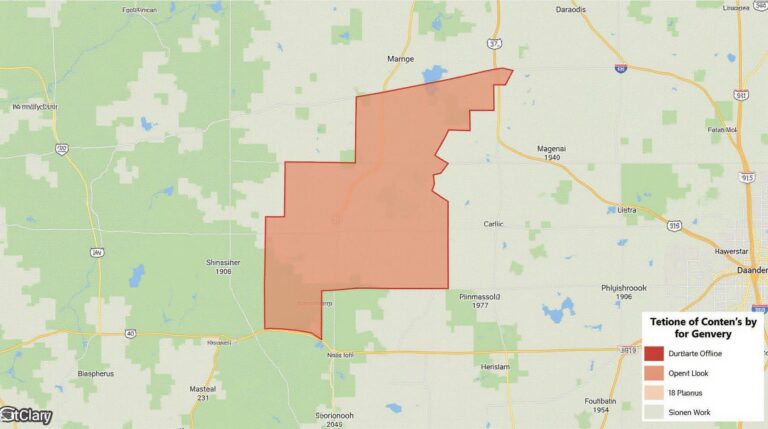
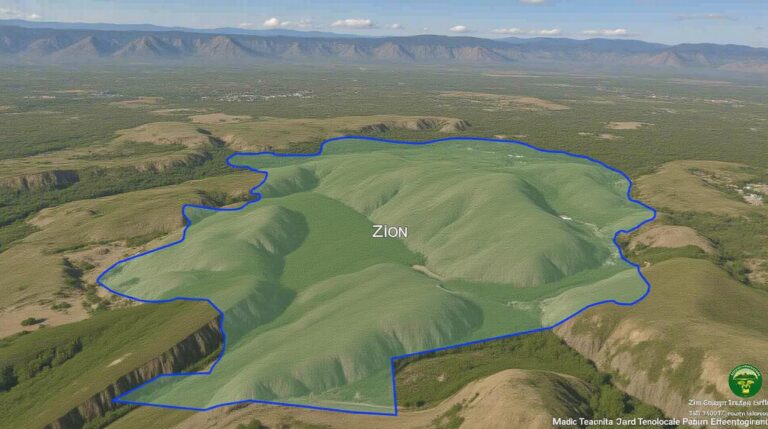
Geospatial data sampling involves selecting a subset of data points from a large geographical area, representing the overall spatial distribution for various analyses. This is crucial due to: vast data volumes, computational challenges, and applying complex analysis scenarios.
How AI Revolutionizes Geospatial Data Sampling
AI brings a new dimension to geospatial data analysis by automating and improving traditional sampling techniques. Central to this change is “deep learning,” a subfield of AI that excels in analyzing complex data patterns and making accurate predictions.
Key Features of AI in Geospatial Sampling
- Automated Sampling: AI algorithms determine optimal sampling patterns, speeds up general processing times.
- Data Prioritization: AI considers various factors to select the most strategically insightful data points.
- Noise Reduction: AI creates more robust analyses by filtering out irrelevant data.
- Personalized Information Extraction: AI helps to extract specific types of information from raw data, revealing important insights.
Benefits of Utilizing AI in Geospatial Data Sampling
Implementing AI in geospatial data sampling offers substantial benefits:
- Increased Accuracy: AI ensures reliable and precise results, exceeding human capabilities.
- Time and Cost Efficiency: AI reduces manual sampling processes and lowers data analysis costs.
- Enhanced Insights: AI provides targeted analysis, gaining deeper insights from the data.
- Improved Decision-Making: AI facilitates better resource allocation, cost allocation, and strategic planning.
Practical Applications
The benefits of AI in geospatial sampling are wide-reaching across diverse industries:
- Urban Planning and Design: AI analyzes traffic patterns and land use for efficient transportation planning and city development.
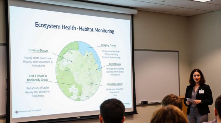
- Environmental Monitoring: AI identifies and analyzes climate change indicators, such as pollution levels and deforestation hazards.
- Disaster Management: AI predicts and mitigates natural disasters by analyzing terrain vulnerability and potential hazards.
- Agriculture and Food Security: AI optimizes crop yields by utilizing weather data and location information to predict disease outbreaks.
Resources for Exploring Geospatial AI
Numerous resources facilitate deeper exploration of AI in geospatial data sampling:
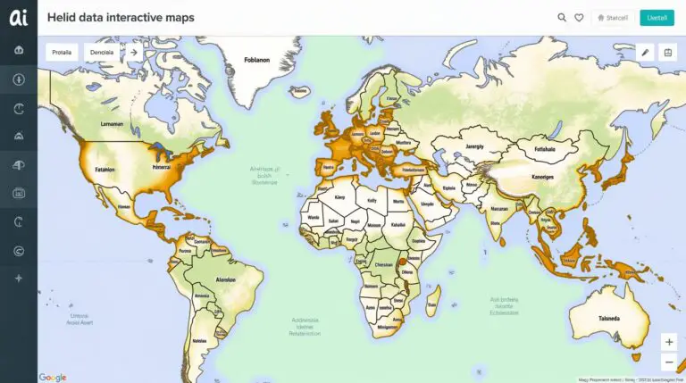
- Google AI Platform for Geospatial Analysis: Offers ready-to-use models and tools for analyzing geospatial data
- Caisality (https://caisality.eu/) : A leading geospatial data platform offering AI-powered insights
- OpenStreetMap::** An open community database project contributing to creating maps into the world.
Conclusion
AI is transforming geospatial data sampling, driving efficient analysis and impactful results. By embracing the power of AI, we can unlock new insights, predict potential outcomes, and steer informed decisions across industries for a smarter geospatial future.
Check similar topics:
GeoAI-Efficient Analysis FAQs
This FAQs section addresses common questions about GeoAI-Efficient analysis. Dive deeper to explore the power of GeoAI for your data challenges.
Availability
- How widely available is GeoAI-Efficient Analysis? GeoAI is increasingly accessible through various platforms and tools. With many platforms integrating GeoAI functions, it’s likely to be available to a diverse range of users. We also constantly develop new features focusing on making GeoAI services user-friendly.
- I have access to geospatial data specific to my geographic location. Will the GeoAI-Efficient Analysis too handle it? We work with a range of geospatial data formats, including those tailored for your region. Explore our [data format compatibility page](https://www.techgeo.org/data-formats).
Formats
GeoAI-Efficient Analysis supports common geospatial data formats. Check [our data format compatibility page](https://www.techgeo.org/data-formats) for a comprehensive list and ensure it aligns with your data needs.
Usage
GeoAI-Efficient Analysis offers various ways to use it. Be sure to check these links for more detailed application examples:
- [Urban planning and infrastructure development](https://www.techgeo.org/urban-planning)
- [Climate change modelling](https://www.techgeo.org/climate-change)
- [Environmental impact assessments](https://www.techgeo.org/environmental-impact-assessment)
Summary
GeoAI-Efficient Analysis delivers powerful geospatial intelligence solutions. By leveraging these techniques, you can unlock unique insights from your data. It transform your work for greater precision and efficiency. Remember to keep checking for continuous development as new functionalities are added.
Take the First Step
Explore our website to access more detailed resources, tutorials, and case studies on GeoAI-Efficient Analysis. Let us help you leverage geospatial data effectively.


